48 Valerie StreetBoronia VIC 3155
Thinking about insurance?
Get estimated rebuild costs for this property with Sum SureProperty Details for 48 Valerie St, Boronia
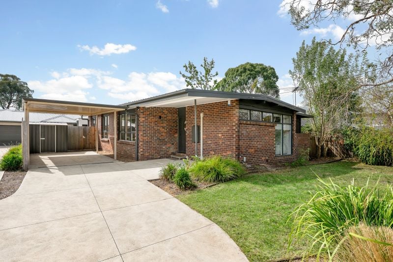
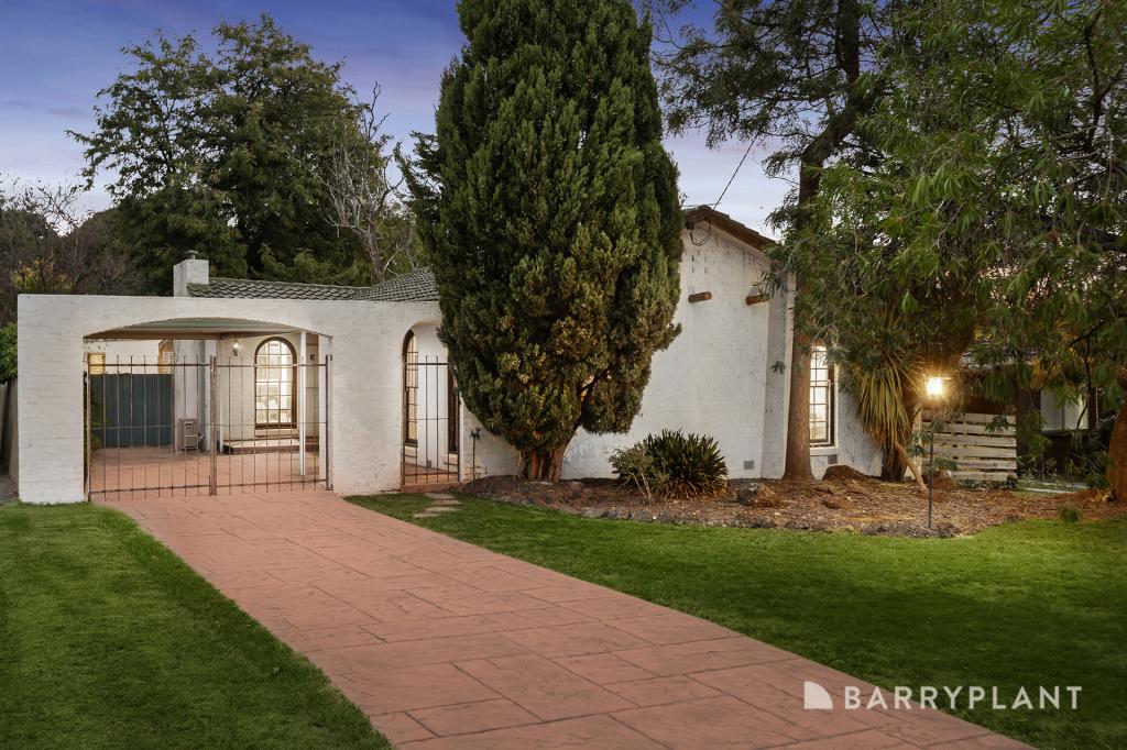
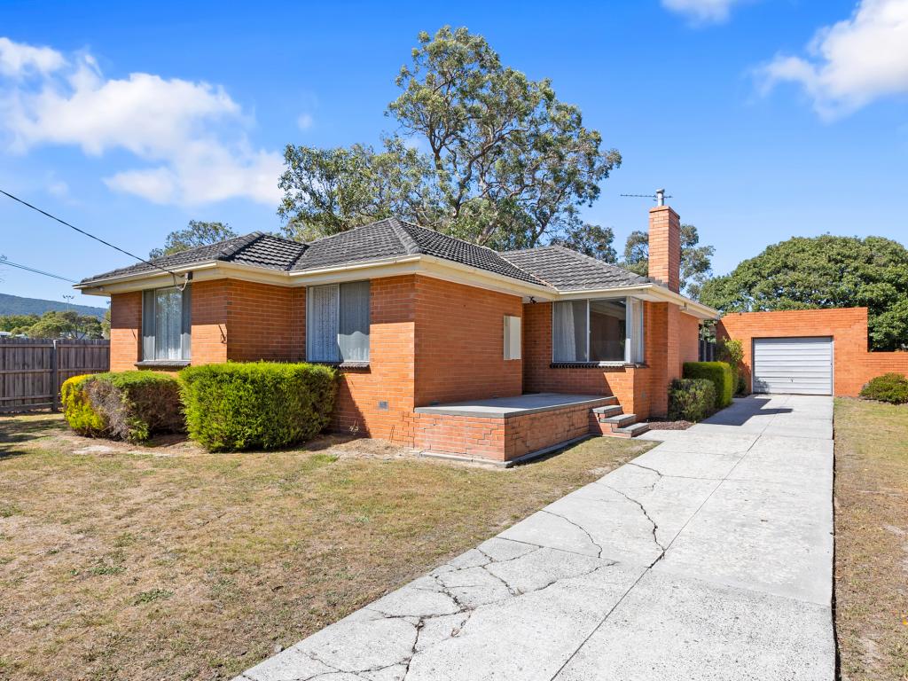
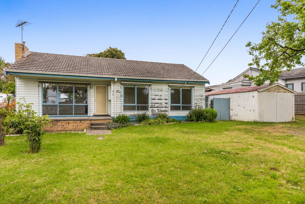
48 Valerie St, Boronia is a 3 bedroom, 1 bathroom House with 1 parking spaces and was built in 1965. The property has a land size of 731m2 and floor size of 116m2. While the property is not currently for sale or for rent, it was last sold in March 2021.
Last Listing description (May 2021)
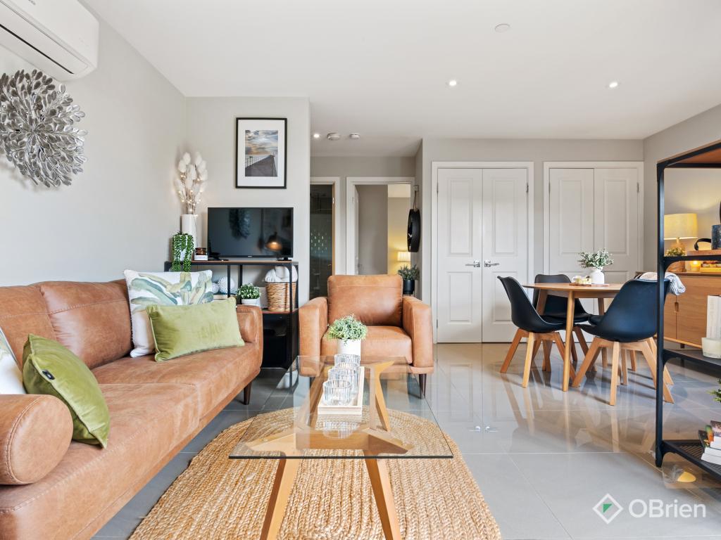
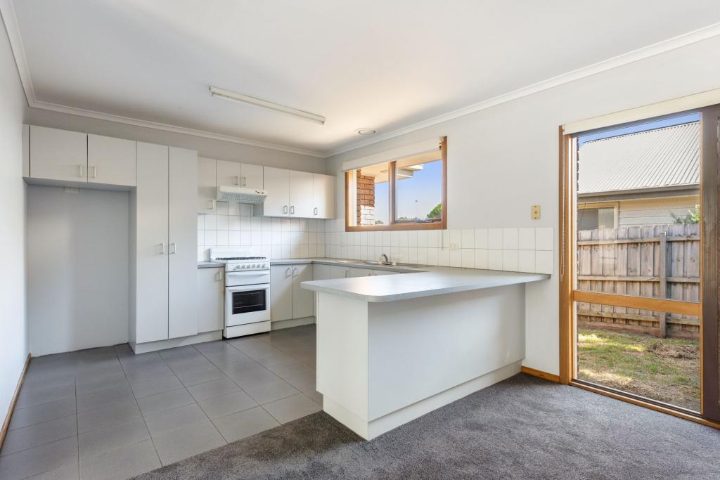
Packed with charm, this beautifully presented family home is located close to all desired amenities and positioned on a generous block of approximately 733sqm. Offering a peaceful setting with beautiful established gardens, this home also features a stunning new kitchen with quality appliances and glass splashbacks, polished timber floors, generous light filled lounge room, tiled dining area, updated bathroom, the comfort of gas ducted heating and split system air conditioning, plus a study or sunroom at the rear of the home with a built in desk. Complete with a large single garage sized workshop, huge decked area for entertaining in style, secure rear yard with garden sheds & fruit trees, plus solar power. This is a fantastic start in the market for First Home Buyers or astute investors!
Proudly Marketed by Harcourts Boronia.
Photo ID required at Inspections.
Property History for 48 Valerie St, Boronia, VIC 3155
- 18 Mar 2021Sold for $815,000
- 01 Mar 2021Listed for Sale $710,000 - $780,000
- 22 Aug 2012Sold for $380,500
Local Area Liveability Score
This Liveability Score is a rating "out of 10" and a guide to how well connected properties within a local area are to facilities such as public transport, healthcare services, shopping outlets, schools and parkland. The scores apply to the local area (or "mesh block") in which a property is located. The scores are largely comprised of 2 main elements:
- Walking time to a local facility
- Number of facilities within a 20-minute walk
The overall Liveability Score is made up of smaller sub-scores, as described below.

Recent sales nearby
See more recent sales nearbySimilar properties For Sale nearby
See more properties for sale nearbySimilar properties For Rent nearby
See more properties for rent nearbyAbout Boronia 3155
The size of Boronia is approximately 11.3 square kilometres. It has 36 parks covering nearly 7.8% of total area. The population of Boronia in 2011 was 20,825 people. By 2016 the population was 22,190 showing a population growth of 6.6% in the area during that time. The predominant age group in Boronia is 30-39 years. Households in Boronia are primarily couples with children and are likely to be repaying $1800 - $2399 per month on mortgage repayments. In general, people in Boronia work in a professional occupation. In 2011, 73.1% of the homes in Boronia were owner-occupied compared with 70.8% in 2016.
Boronia has 13,126 properties. Over the last 5 years, Houses in Boronia have seen a 13.37% increase in median value, while Units have seen a 8.37% increase. As at 28 February 2025:
- The median value for Houses in Boronia is $832,709 while the median value for Units is $628,437.
- Houses have a median rent of $570 while Units have a median rent of $530.
What's around 48 Valerie St, Boronia
48 Valerie St, Boronia is in the school catchment zone for Fairhills Primary School and Fairhills High School.


Suburb Insights for Boronia 3155
Market Insights
Boronia Trends for Houses
$833k
-1.77%
View Trend$570/W
3.67%
Boronia Trends for Units
$628k
-2.30%
View Trend$530/W
4.33%
Neighbourhood Insights
Age
Population 22,190
0-9
12%
10-19
10%
20-29
14%
30-39
16%
40-49
13%
50-59
12%
60-69
12%
70-79
7%
80-89
4%
90-99
1%


/assets/perm/chxlrro3yai6nkmv7mntfkqzmm?signature=df31fe1b58227c7d0180aa94fc46b5ec524f02ae226b27233306061a6f112577)


/assets/perm/ezfy36vnjmi6xiqcbembkevmha?signature=c69697c605695ee68d325689d1b6d4bbe56b8197276f40cb9e40a6392e2358e3)
