9 Honeybee LaneBurnside QLD 4560
Property Details for 9 Honeybee Lane, Burnside
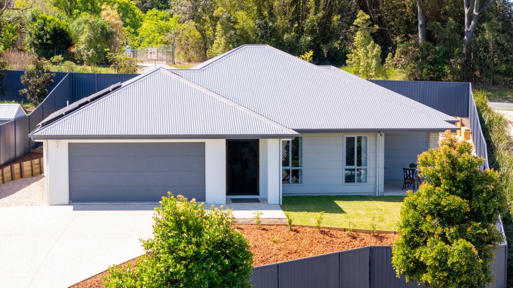
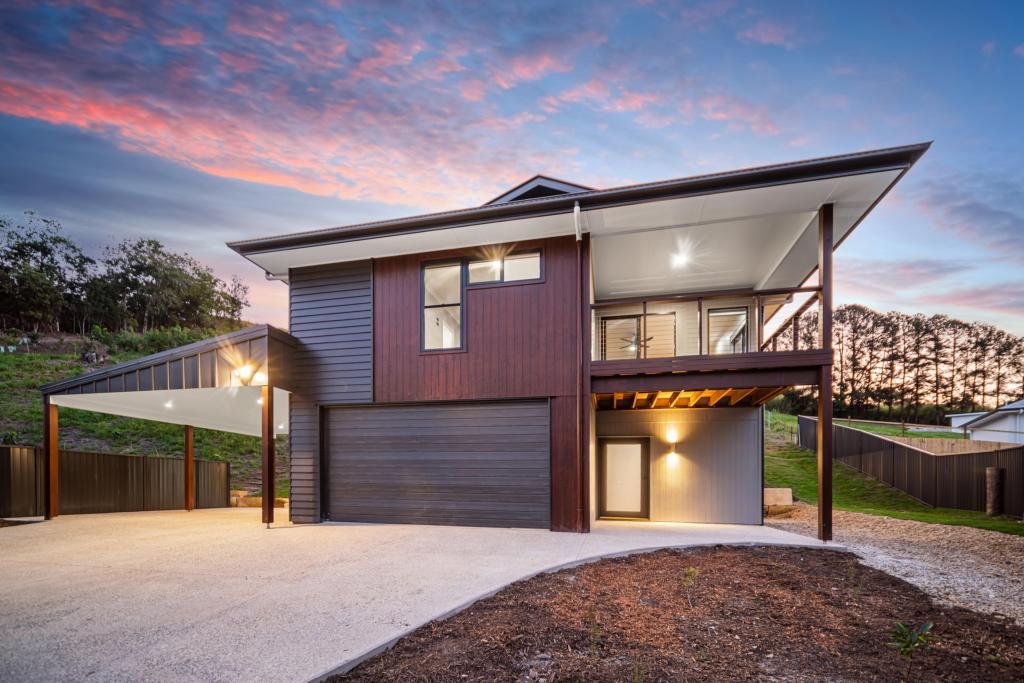
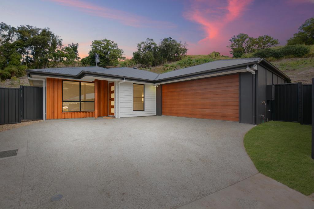
9 Honeybee Lane, Burnside is a 4 bedroom, 2 bathroom House with 2 parking spaces and was built in 2016. The property has a land size of 976m2 and floor size of 154m2. While the property is not currently for sale or for rent, it was last sold in April 2016.
Last Listing description (December 2015)
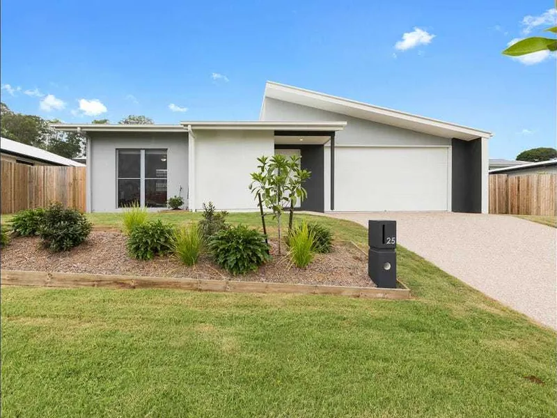
This dual Living property is a revolutionary product that significantly boosts the yield, cash flow and security available from an investment property. From the street it presents as a high quality single residential home. It s when you look at the floor plan that the brilliant design becomes clear. What appears to be one dwelling on the outside is in fact two dwellings on the inside, PRODUCING TWO INCOMES.
House and Land Package includes:
2 Residences
1 x 2 Bedrooms, 1 Bathroom, 1 Car
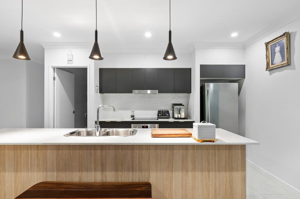
Full Turn Key Features
2 x Split System Air Conditioners
Stainless steel kitchen appliances
14 week Build Time Guarantee
Fixed Build Price Guarantee
Rental = $750 per week = 7.0% ROI
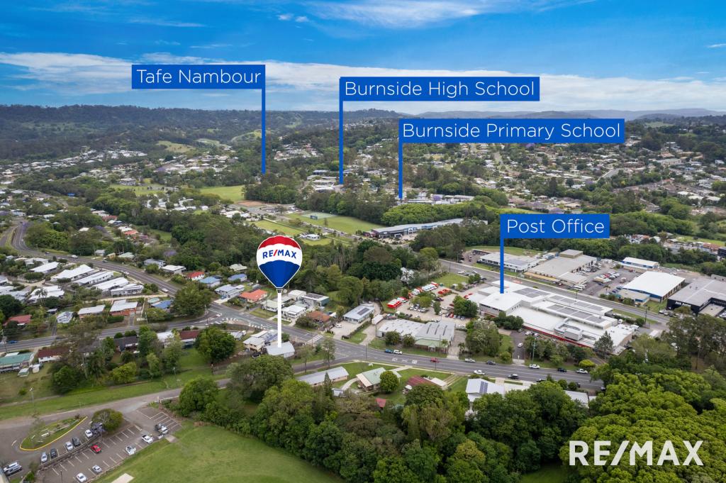
Nambour features a large, public hospital, is headquarters for the TAFE College on the Sunshine Coast, provides train transport to Brisbane and has a wide range of private and govt schools. With services like these, rental properties like this are in great demand.
Property History for 9 Honeybee Lane, Burnside, QLD 4560
- 08 Apr 2016Sold for $210,000
- 11 Nov 2015Listed for Sale LOOKING FOR AN INVESTMENT PROPERTY? YOU VE FOUND
Commute Calculator
Recent sales nearby
See more recent sales nearbySimilar properties For Sale nearby
See more properties for sale nearbySimilar properties For Rent nearby
See more properties for rent nearbyAbout Burnside 4560
The size of Burnside is approximately 4.8 square kilometres. It has 6 parks covering nearly 1.3% of total area. The population of Burnside in 2011 was 1,948 people. By 2016 the population was 2,393 showing a population growth of 22.8% in the area during that time. The predominant age group in Burnside is 0-9 years. Households in Burnside are primarily couples with children and are likely to be repaying $1800 - $2399 per month on mortgage repayments. In general, people in Burnside work in a trades occupation. In 2011, 71.5% of the homes in Burnside were owner-occupied compared with 75.9% in 2016.
Burnside has 1,431 properties. Over the last 5 years, Houses in Burnside have seen a 83.27% increase in median value, while Units have seen a 76.43% increase. As at 31 October 2024:
- The median value for Houses in Burnside is $809,787 while the median value for Units is $641,312.
- Houses have a median rent of $693.
Suburb Insights for Burnside 4560
Market Insights
Burnside Trends for Houses
N/A
N/A
View TrendN/A
N/A
Burnside Trends for Units
N/A
N/A
View TrendN/A
N/A
Neighbourhood Insights
© Copyright 2024 RP Data Pty Ltd trading as CoreLogic Asia Pacific (CoreLogic). All rights reserved.


 0
0
 0
0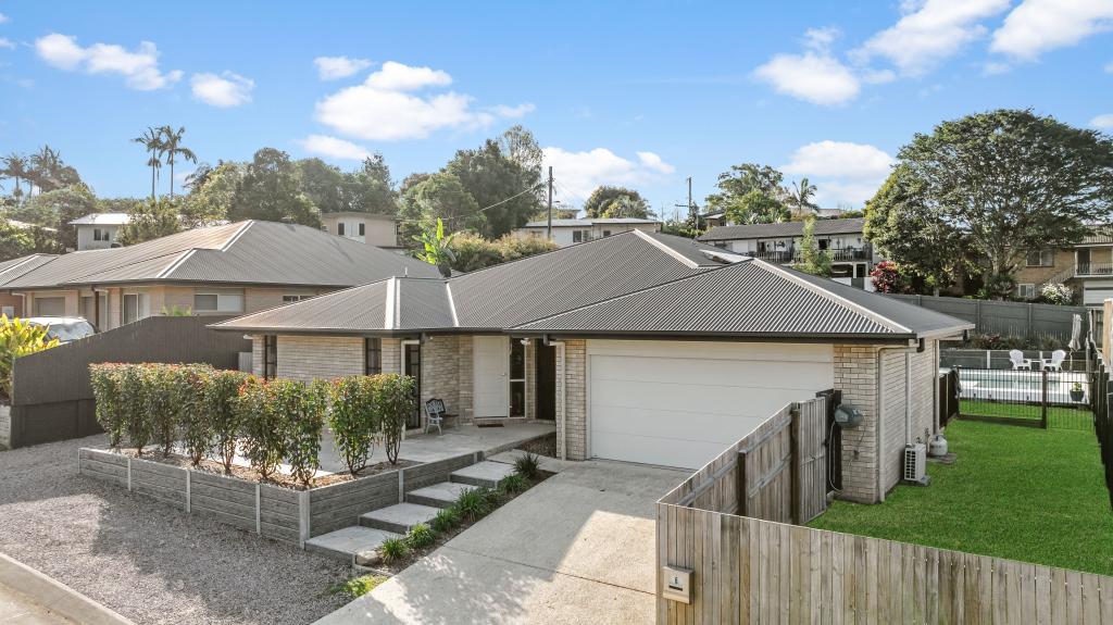 0
0
 0
0

 0
0
 0
0
 0
0
 0
0

