64 Pope AvenueBurnside QLD 4560
Property Details for 64 Pope Ave, Burnside
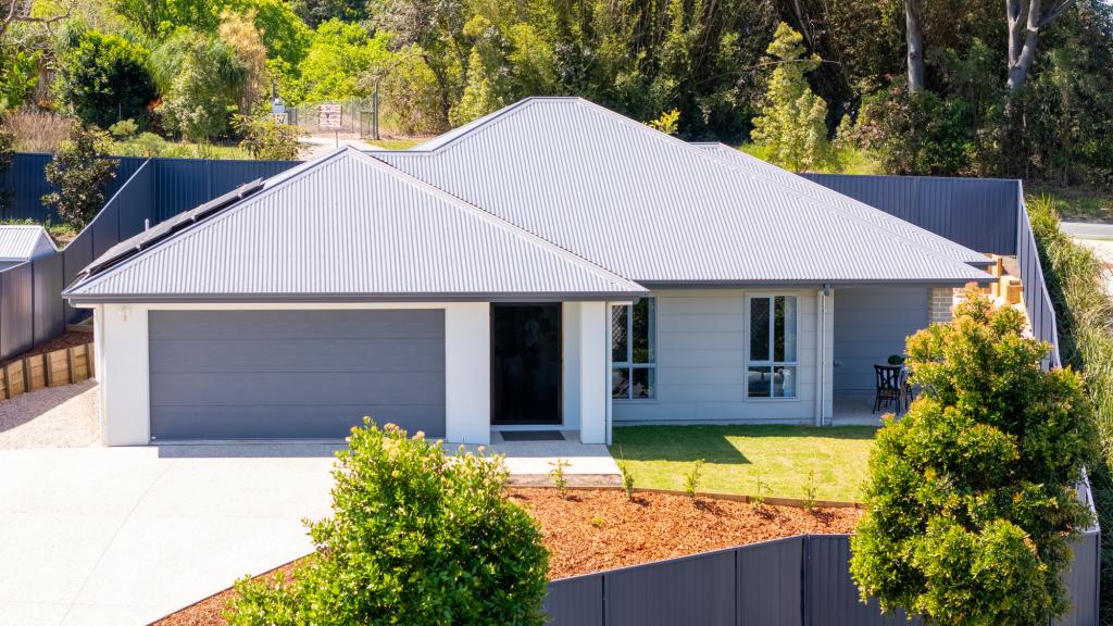
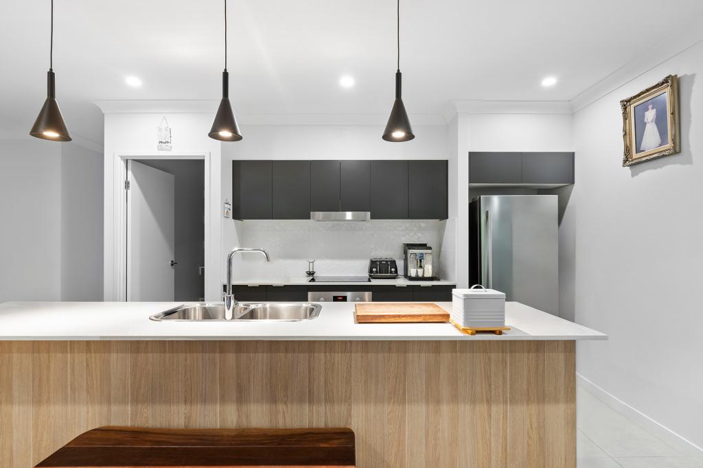
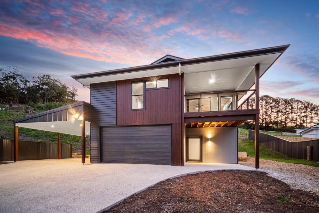
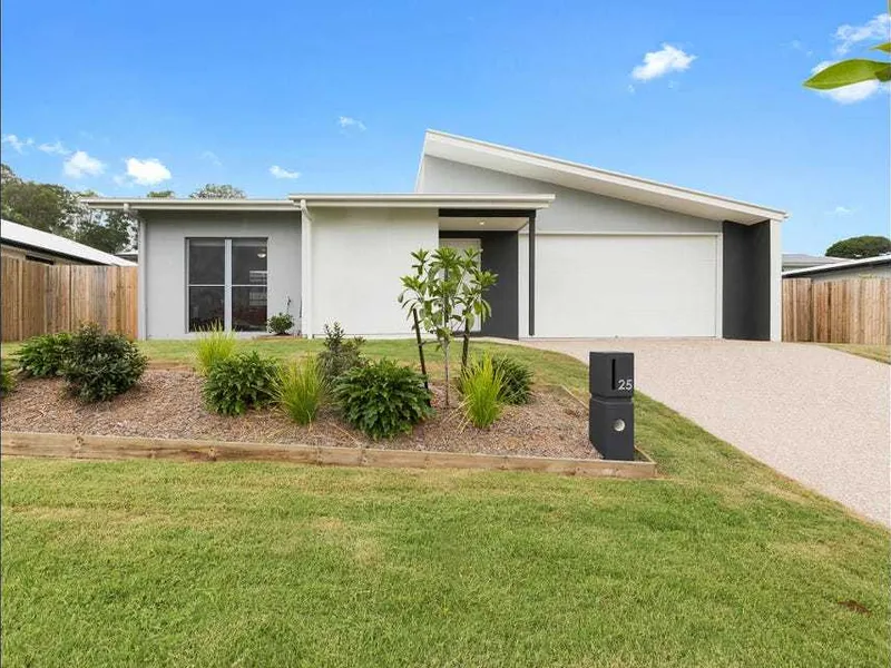
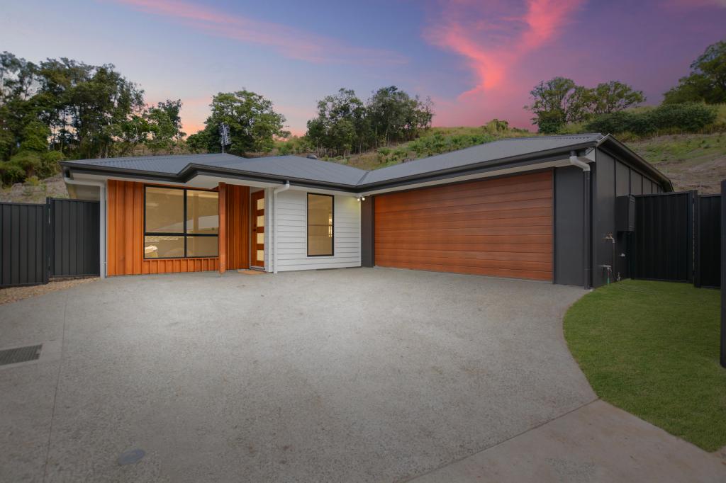
64 Pope Ave, Burnside is a 4 bedroom, 2 bathroom House and was built in 2023. The property has a land size of 631m2 and floor size of 162m2. While the property is not currently for sale or for rent, it was last sold in May 2022.
Last Listing description (March 2023)
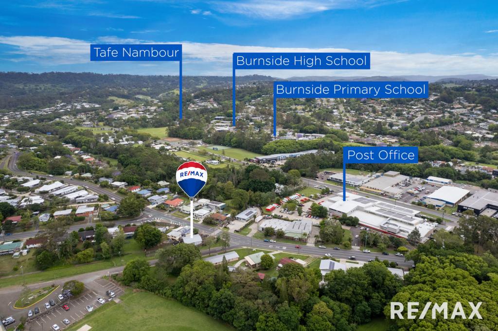
Only minutes to the township of Nambour and the lifestyle infrastructure that this central Sunshine Coast location offers. St Josephs College, Nambour Christian College as well as Nambour and Burnside State High Schools are all in close proximity. Rail links, all major grocery chains, Major Hospital and Nambour's cafe and culture scene are all at your doorstep. The central location of The Grove Nambour Heights provides easy access to Maroochydore, Noosa, The Sunshine Coast Hinterland, Brisbane and beyond.
FEATURES INCLUDE:
Town Services: Sewer, town water, electricity, telco & NBN
• Over 1 hectare of designated reserves and rainforest in this final stage.
Titles June 2022
PERFECT BUYER WOULD BE :
Families
First home buyers
Investors
LOCATION:
5 Minute drive to the Nambour Township
5 minutes to Highway
20 Minutes to Maroochydore
NOT LOCAL? CAN'T MAKE AN INSPECTION? NOT A PROBLEM.
Please enquire if you would like to arrange a LIVE TOUR. We can take you on a tour whilst giving you live feedback and details of the property. Our preferred platforms are via Facetime, Whatsapp or Skype.
Property History for 64 Pope Ave, Burnside, QLD 4560
- 03 May 2022Sold for $395,000
- 28 Feb 2022Listed for Sale $395,000
Commute Calculator
Recent sales nearby
See more recent sales nearbySimilar properties For Sale nearby
See more properties for sale nearbySimilar properties For Rent nearby
See more properties for rent nearbyAbout Burnside 4560
The size of Burnside is approximately 4.8 square kilometres. It has 6 parks covering nearly 1.3% of total area. The population of Burnside in 2011 was 1,948 people. By 2016 the population was 2,393 showing a population growth of 22.8% in the area during that time. The predominant age group in Burnside is 0-9 years. Households in Burnside are primarily couples with children and are likely to be repaying $1800 - $2399 per month on mortgage repayments. In general, people in Burnside work in a trades occupation. In 2011, 71.5% of the homes in Burnside were owner-occupied compared with 75.9% in 2016.
Burnside has 1,431 properties. Over the last 5 years, Houses in Burnside have seen a 83.27% increase in median value, while Units have seen a 76.43% increase. As at 31 October 2024:
- The median value for Houses in Burnside is $809,787 while the median value for Units is $641,312.
- Houses have a median rent of $693.
Suburb Insights for Burnside 4560
Market Insights
Burnside Trends for Houses
N/A
N/A
View TrendN/A
N/A
Burnside Trends for Units
N/A
N/A
View TrendN/A
N/A
Neighbourhood Insights
© Copyright 2024 RP Data Pty Ltd trading as CoreLogic Asia Pacific (CoreLogic). All rights reserved.


 0
0
 0
0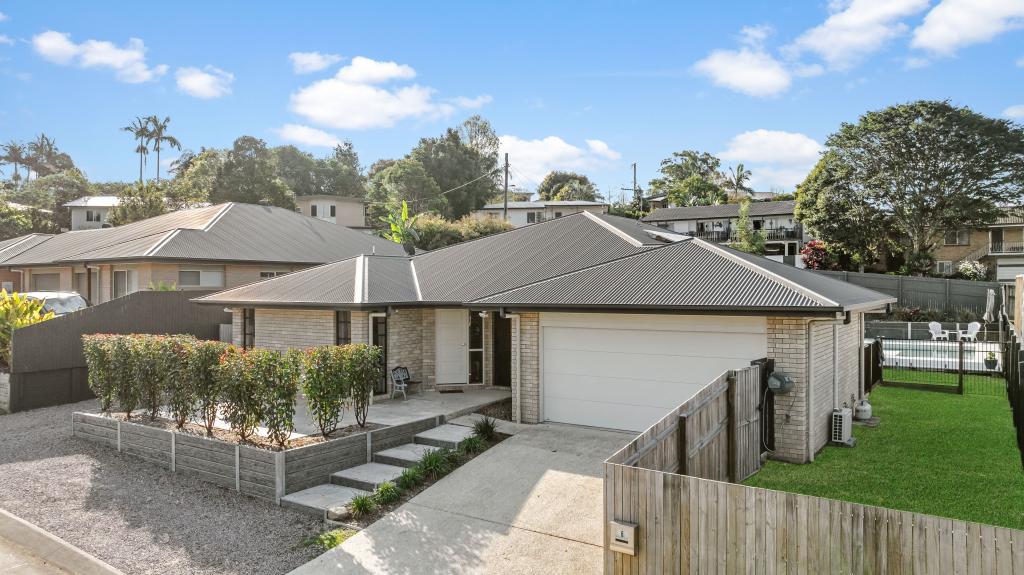 0
0
 0
0

 0
0
 0
0
 0
0
 0
0

