51 Bungaree RoadWilson WA 6107
Property Details for 51 Bungaree Rd, Wilson
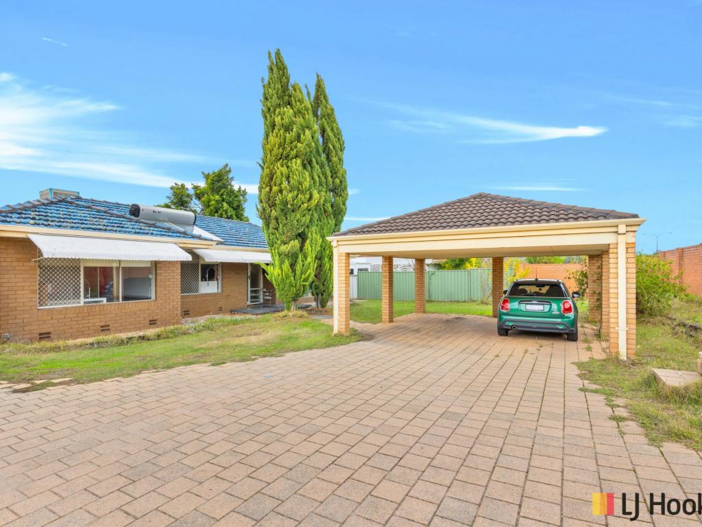
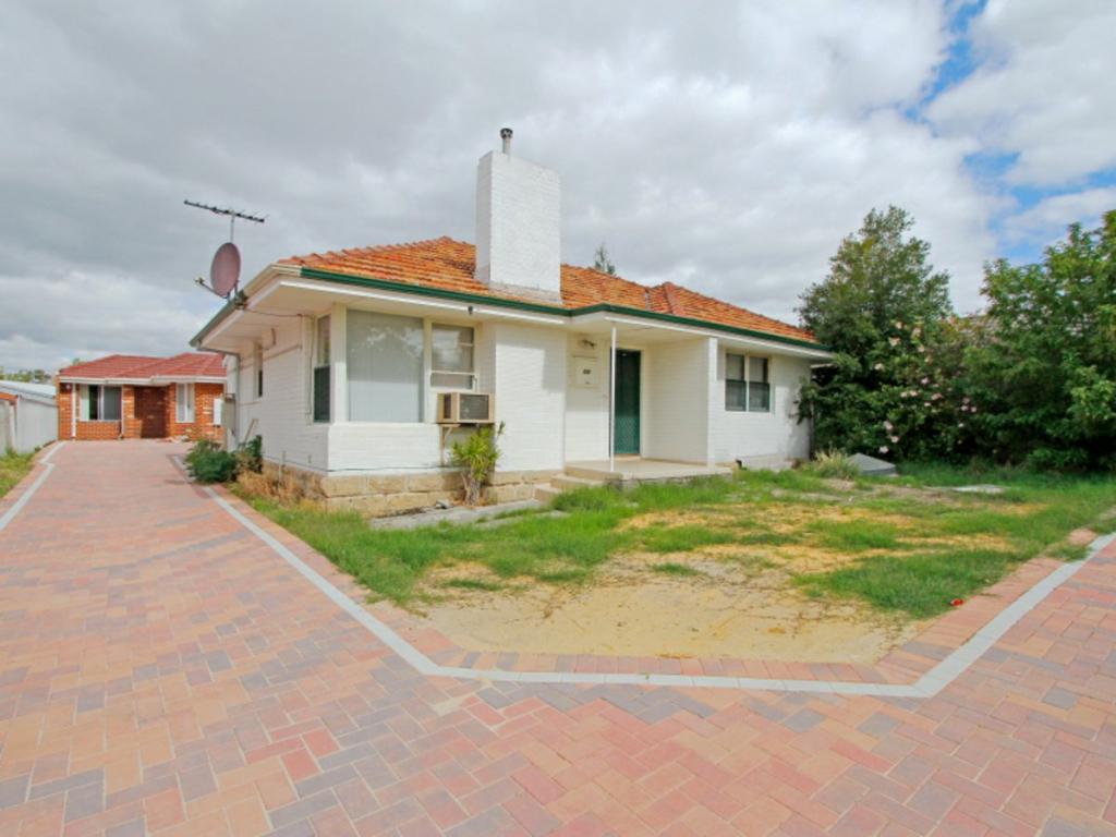
51 Bungaree Rd, Wilson is a 2 bedroom, 1 bathroom House with 1 parking spaces and was built in 1961. The property has a land size of 767m2 and floor size of 91m2. While the property is not currently for sale or for rent, it was last sold in November 2022.
Last Listing description (December 2022)
51 Bungaree Road, Wilson
If you're an investor with an eye to future benefits or you're a developer ready now for your next project look no further, here it is! A sprawling 767sqm block with triplex potential, you can detonate and subdivide or utilise the existing home as a rental (perfect for student accommodation) or maybe you just want to live in it and enjoy the huge backyard. With a bus stop close by, walking distance to the local supermarket, access to Leach Highway and Kwinana Freeway close by,less than 2km to Curtin University, Child Care just down the road, short walk to Centenary Park and less than 5km to Westfield Carousel I could go on and on but convenience is at your fingertips.
Built in 1961
2 Bdr 1Bth plus seperate dining, plus lg lounge
Sleep out or utility room
Block: 767sqm
Zoned R40
20.1m frontage
Triplex potential! (subject to Shire aooroval)
Council rates: approx. $1,665 pa
Water rates: approx. $1,240 pa
For inspection call ROD 0418 918785
Property History for 51 Bungaree Rd, Wilson, WA 6107
- 20 Nov 2022Sold for $520,000
- 24 Oct 2022Listed for Sale SOLD - $520,000
Commute Calculator
Recent sales nearby
See more recent sales nearbySimilar properties For Sale nearby
See more properties for sale nearbySimilar properties For Rent nearby
See more properties for rent nearbyAbout Wilson 6107
The size of Wilson is approximately 3.8 square kilometres. It has 24 parks covering nearly 45.1% of total area. The population of Wilson in 2011 was 5,725 people. By 2016 the population was 6,387 showing a population growth of 11.6% in the area during that time. The predominant age group in Wilson is 20-29 years. Households in Wilson are primarily childless couples and are likely to be repaying $1800 - $2399 per month on mortgage repayments. In general, people in Wilson work in a professional occupation. In 2011, 59.4% of the homes in Wilson were owner-occupied compared with 58.1% in 2016.
Wilson has 3,141 properties. Over the last 5 years, Houses in Wilson have seen a 67.36% increase in median value, while Units have seen a 85.67% increase. As at 31 October 2024:
- The median value for Houses in Wilson is $817,418 while the median value for Units is $601,129.
- Houses have a median rent of $660 while Units have a median rent of $700.
Suburb Insights for Wilson 6107
Market Insights
Wilson Trends for Houses
N/A
N/A
View TrendN/A
N/A
Wilson Trends for Units
N/A
N/A
View TrendN/A
N/A
Neighbourhood Insights
© Copyright 2024 RP Data Pty Ltd trading as CoreLogic Asia Pacific (CoreLogic). All rights reserved.


/assets/perm/uhpxz3evmai6zbx4aojhtvvd7m?signature=115defec2221e8314a55c91d7156bbfc49f30f6f87a1731a4672ea5f72a04dcd) 0
0 0
0

 0
0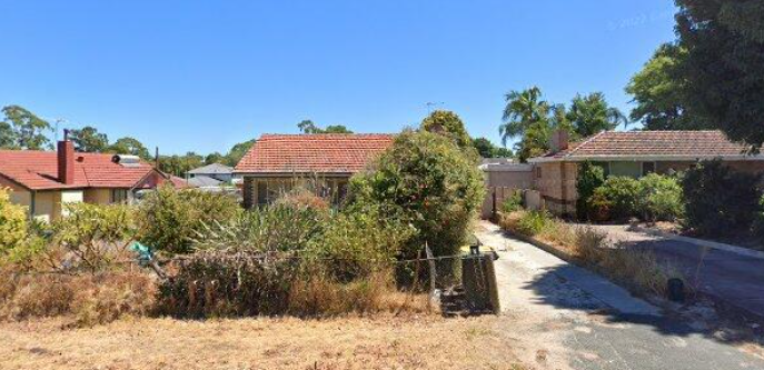 0
0
 0
0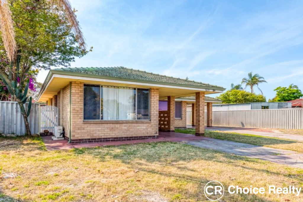 0
0
 0
0

