1795 Stoneville RoadMundaring WA 6073
Property Details for 1795 Stoneville Rd, Mundaring
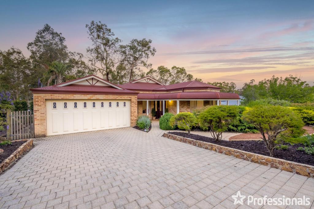
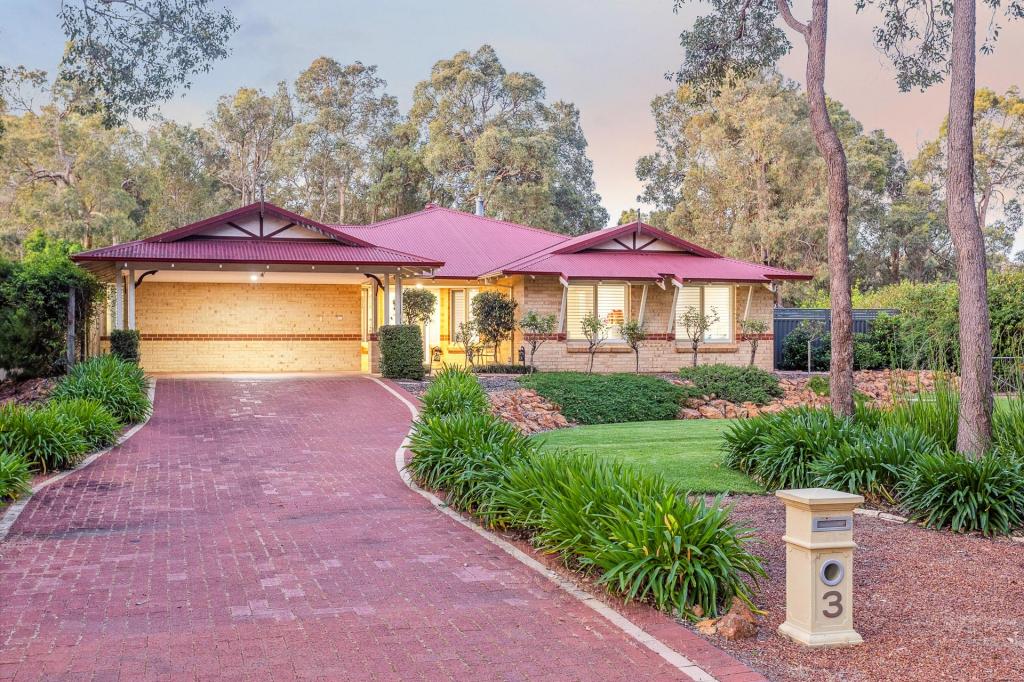
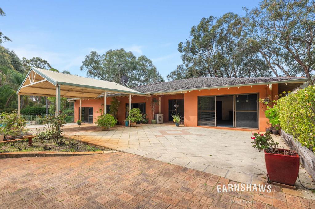
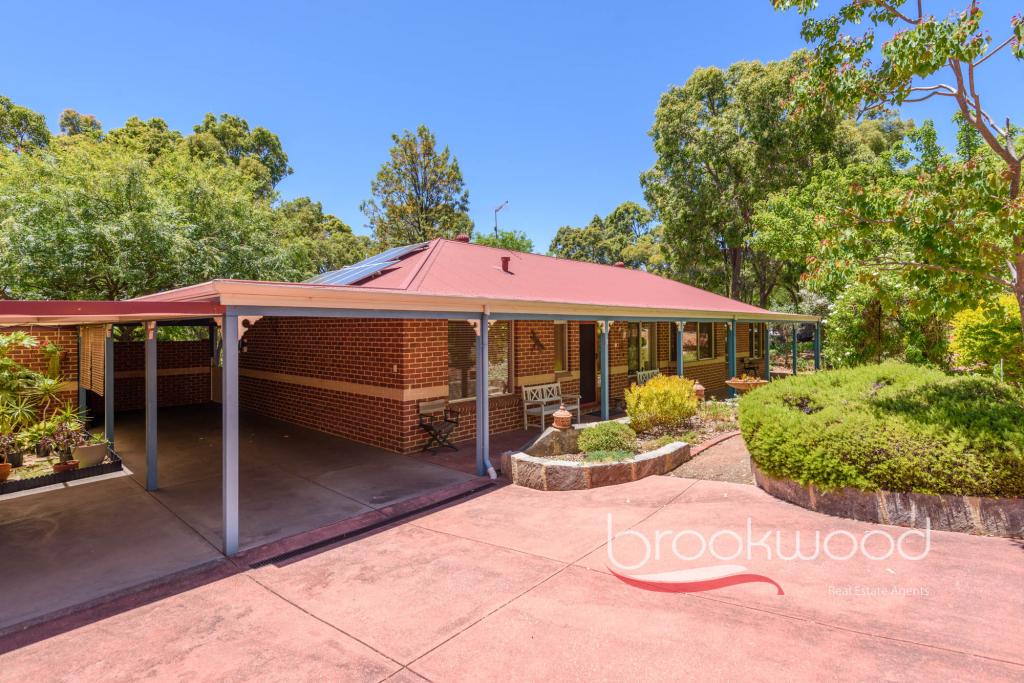
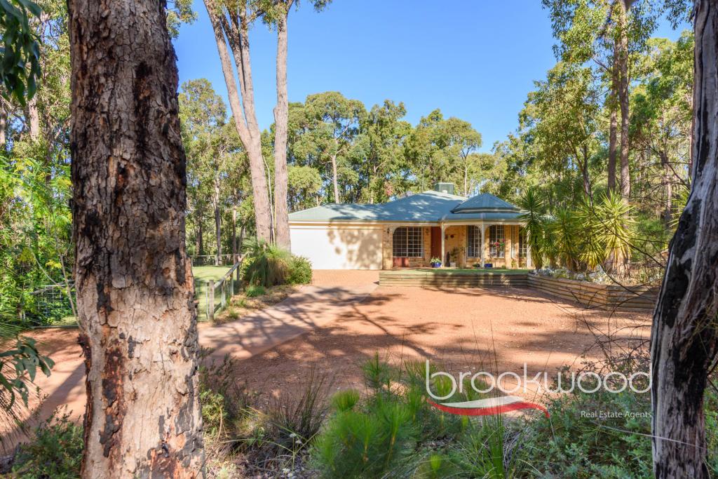
1795 Stoneville Rd, Mundaring is a 4 bedroom, 2 bathroom House with 2 parking spaces and was built in 2010. The property has a land size of 9569m2 and floor size of 235m2. While the property is not currently for sale or for rent, it was last sold in April 2008.
Last Listing description (April 2008)
MASSIVE REDUCTION!!!
ALMOST 2.5 ACRES OF VACANT LAND - CLOSE TO SCHOOLS, TRANSPORT AND SHOPPING PRECINCT, YET THE BUILDING ENVELOPE WILL ENSURE PRIVACY FROM NEIGHBOURS AND ROAD.
PARKLAND CLEARED TO ACCOMODATE A MEANDERING DRIVEWAY WITH GENTLE CONTOURS, SLOPING TO FRONT OF LOT OPENING OUT TO A CLEARED PADDOCK TOWARD THE ELEVATED BACK OF THE BLOCK.
Property History for 1795 Stoneville Rd, Mundaring, WA 6073
- 02 Apr 2008Sold for $358,000
- 09 Jan 2008Listed for Sale $375000
- 26 Aug 2005Sold for $225,000
Commute Calculator
Recent sales nearby
See more recent sales nearbySimilar properties For Sale nearby
See more properties for sale nearbyAbout Mundaring 6073
The size of Mundaring is approximately 31.6 square kilometres. It has 20 parks covering nearly 63.6% of total area. The population of Mundaring in 2011 was 3,010 people. By 2016 the population was 3,045 showing a population growth of 1.2% in the area during that time. The predominant age group in Mundaring is 50-59 years. Households in Mundaring are primarily childless couples and are likely to be repaying $1800 - $2399 per month on mortgage repayments. In general, people in Mundaring work in a professional occupation. In 2011, 76.4% of the homes in Mundaring were owner-occupied compared with 80.9% in 2016.
Mundaring has 1,660 properties. Over the last 5 years, Houses in Mundaring have seen a 74.21% increase in median value, while Units have seen a 27.65% increase. As at 31 October 2024:
- The median value for Houses in Mundaring is $918,209 while the median value for Units is $452,542.
- Houses have a median rent of $625.
Suburb Insights for Mundaring 6073
Market Insights
Mundaring Trends for Houses
N/A
N/A
View TrendN/A
N/A
Mundaring Trends for Units
N/A
N/A
View TrendN/A
N/A
Neighbourhood Insights
© Copyright 2024 RP Data Pty Ltd trading as CoreLogic Asia Pacific (CoreLogic). All rights reserved.


 0
0
 0
0
 0
0
 0
0 0
0
 0
0 0
0

