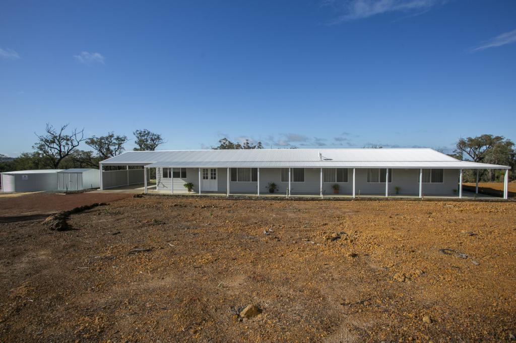
4 Wandena RoadMuchea WA 6501
Property Details for 4 Wandena Rd, Muchea
Last Listing description (December 2022)
63.1 hectares
Winter creek
Mix of bush/pasture
Disclaimer These properties are located within the Shire of Chittering's Basic Raw Materials Special Control Area, under the Local Planning Scheme.
Buyers would need to consider that Clause 5.4.3 of the Local Planning Scheme states 'No new dwellings shall be approved within this buffer area'.
Any approval to build, extend, renovate a habitable dwelling would be subject to Development Approval, a complete planning process and determination and permissibility of the work.
At present date there is no expiry date on this Special Control Area.
https://espatial.dplh.wa.gov.au/planwa/Index.html?viewer=planwa
Follow this Plan WA link for further information.
Use the drop down menu to select "Local Planning Schemes"
This will show the extent of the Basic Raw Material Special Control Area.
Property History for 4 Wandena Rd, Muchea, WA 6501
- 05 Aug 2021Listed for Sale $700k - $750k
- 22 Aug 2020Sold for $628,000
- 28 Aug 1990Sold for $172,500
Commute Calculator
Recent sales nearby
See more recent sales nearbyAbout Muchea 6501
The size of Muchea is approximately 215.1 square kilometres. It has 6 parks covering nearly 0.4% of total area. The population of Muchea in 2011 was 1,018 people. By 2016 the population was 957 showing a population decline of 6.0% in the area during that time. The predominant age group in Muchea is 40-49 years. Households in Muchea are primarily couples with children and are likely to be repaying $1800 - $2399 per month on mortgage repayments. In general, people in Muchea work in a trades occupation. In 2011, 86.9% of the homes in Muchea were owner-occupied compared with 85.5% in 2016.
Muchea has 562 properties. Over the last 5 years, Houses in Muchea have seen a 89.50% increase in median value, while Units have seen a 80.16% increase. As at 31 October 2024:
- The median value for Houses in Muchea is $878,155 while the median value for Units is $235,120.
- Houses have a median rent of $450.
Suburb Insights for Muchea 6501
Market Insights
Muchea Trends for Houses
N/A
N/A
View TrendN/A
N/A
Muchea Trends for Units
N/A
N/A
View TrendN/A
N/A
Neighbourhood Insights
© Copyright 2024 RP Data Pty Ltd trading as CoreLogic Asia Pacific (CoreLogic). All rights reserved.


/assets/perm/k5b2zuvwzai6zgh3zgzpzau23m?signature=487d80ba84af9dfe79f8b7a1ff94caa3d14b634bbf0a15b22743544bb1af3ed5) 0
0
 0
0
