21 Sutcliffe RoadMoresby WA 6530
Property Details for 21 Sutcliffe Rd, Moresby
Last Listing description (September 2019)
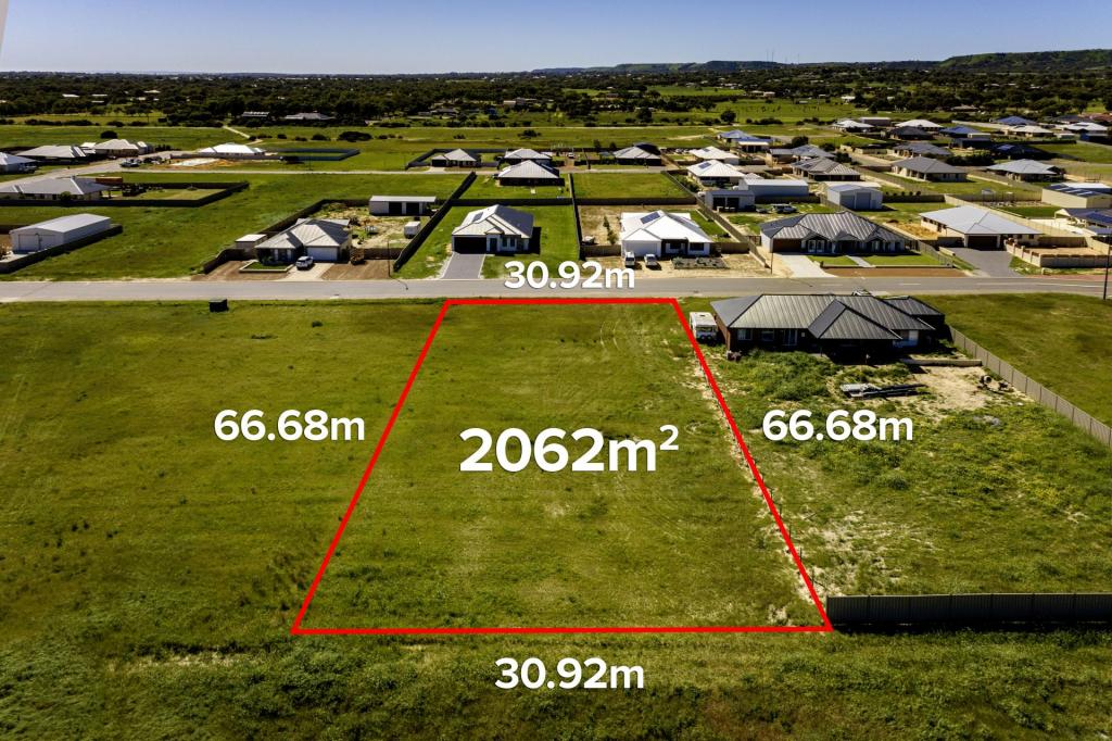
This is a very unusual and large parcel of land that was once a designated road reserve, so it is very long and quite narrow. On the West side, it adjoins the Waggrakine residential area and there are several access points to the land. On the East side, it adjoins semi-rural lots.
The zoning is R20, (Average lot size of 500m2) and there are some parts that are in a bushfire prone area and the lot is also split with roads coming through the block.
This is a possible residential development site for the future when land values return and it becomes viable. The sellers are very genuine about moving it on though and will give consideration to a reasonable offer.
Property History for 21 Sutcliffe Rd, Moresby, WA 6530
- 29 Jan 2020Sold for $110,000
- 14 Dec 2019Sold
- 18 Jun 2019Listed for Sale Not Disclosed
Commute Calculator
Recent sales nearby
See more recent sales nearbySimilar properties For Sale nearby
See more properties for sale nearbySimilar properties For Rent nearby
See more properties for rent nearbyAbout Moresby 6530
The size of Moresby is approximately 26 square kilometres. The population of Moresby in 2011 was 771 people. By 2016 the population was 855 showing a population growth of 10.9% in the area during that time. The predominant age group in Moresby is 40-49 years. Households in Moresby are primarily couples with children and are likely to be repaying $2400 - $2999 per month on mortgage repayments. In general, people in Moresby work in a trades occupation. In 2011, 88.6% of the homes in Moresby were owner-occupied compared with 88.6% in 2016.
Moresby has 458 properties. Over the last 5 years, Houses in Moresby have seen a 56.29% increase in median value. As at 31 October 2024:
- The median value for Houses in Moresby is $753,356 while the median value for Units is $679,416.
- Houses have a median rent of $380.
Suburb Insights for Moresby 6530
Market Insights
Moresby Trends for Houses
N/A
N/A
View TrendN/A
N/A
Moresby Trends for Units
N/A
N/A
View TrendN/A
N/A
Neighbourhood Insights
© Copyright 2024 RP Data Pty Ltd trading as CoreLogic Asia Pacific (CoreLogic). All rights reserved.


/assets/perm/2zbuopflbui6xjniw5lsqtvnnq?signature=abf2faafa1c97f3875de10ce2a13f289b775d03275fa1f4f22d46d6106b8d5a8) 0
0

 0
0
 0
0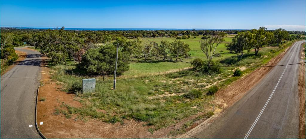 0
0
 0
0 0
0
