139 Keane RoadHarrisdale WA 6112
Property Details for 139 Keane Rd, Harrisdale
139 Keane Rd, Harrisdale is a 3 bedroom, 2 bathroom House with 2 parking spaces and was built in 2012. The property has a land size of 257m2 and floor size of 100m2. While the property is not currently for sale or for rent, it was last sold in August 2020.
Last Listing description (September 2020)
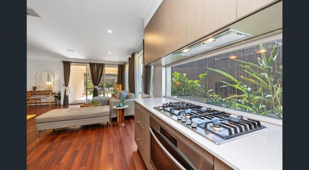
Perfect for FIFO, first home owners, investment or downsizing. This easy care lock and leave 3 Bedroom 2 bathroom sits on a 257 SQM corner block, is walking distance to sports pavilion, Harrisdale Primary school and High School. Harrisdale Shopping Centre, Surrounded by nature reserves and beautiful parklands.Call Christina today on 0439918250.Internal FeaturesMaster bedroom with walk in robe.Ensuite with shower, toilet and vanity.Bedroom 2 & 3 with double mirror sliding doors.Main bathroom with bath, vanity and shower.Kitchen overlooks meals and family area.Split system.Modern decor throughout.Easy care flooring, carpet in the bedrooms.Security front and sliding doors.Instant gas hot water system.External features,Remote control retractable awning, great to use in the summer and close in the winter.Double carport, access from laneway.Garden shed.Easy care gardens.257 SQM corner block.Built in 2012 by homebuyer centre.
Property History for 139 Keane Rd, Harrisdale, WA 6112
- 04 Aug 2020Sold for $355,000
- 15 Jul 2020Listed for Sale $379,000
- 21 Apr 2011Sold for $150,000
Commute Calculator
Recent sales nearby
See more recent sales nearbySimilar properties For Sale nearby
See more properties for sale nearbySimilar properties For Rent nearby
See more properties for rent nearbyAbout Harrisdale 6112
The size of Harrisdale is approximately 5.8 square kilometres. It has 19 parks covering nearly 26.3% of total area. The population of Harrisdale in 2011 was 3,806 people. By 2016 the population was 9,077 showing a population growth of 138.5% in the area during that time. The predominant age group in Harrisdale is 30-39 years. Households in Harrisdale are primarily couples with children and are likely to be repaying $1800 - $2399 per month on mortgage repayments. In general, people in Harrisdale work in a professional occupation. In 2011, 84.9% of the homes in Harrisdale were owner-occupied compared with 79.2% in 2016.
Harrisdale has 4,898 properties. Over the last 5 years, Houses in Harrisdale have seen a 96.80% increase in median value, while Units have seen a 68.22% increase. As at 31 October 2024:
- The median value for Houses in Harrisdale is $903,012 while the median value for Units is $618,342.
- Houses have a median rent of $735.
Suburb Insights for Harrisdale 6112
Market Insights
Harrisdale Trends for Houses
N/A
N/A
View TrendN/A
N/A
Harrisdale Trends for Units
N/A
N/A
View TrendN/A
N/A
Neighbourhood Insights
© Copyright 2024 RP Data Pty Ltd trading as CoreLogic Asia Pacific (CoreLogic). All rights reserved.


/assets/perm/oyjnb6acqii6vp7g2edyxyjq5a?signature=9f20a2b0b5e8a75b172123d120bc2d9a03fce34d98a68286f8a8272c307134d8) 0
0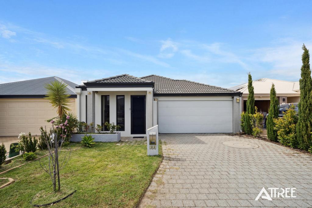 0
0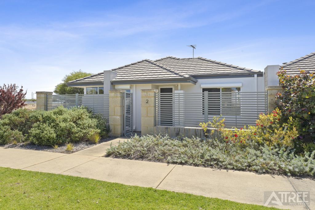 0
0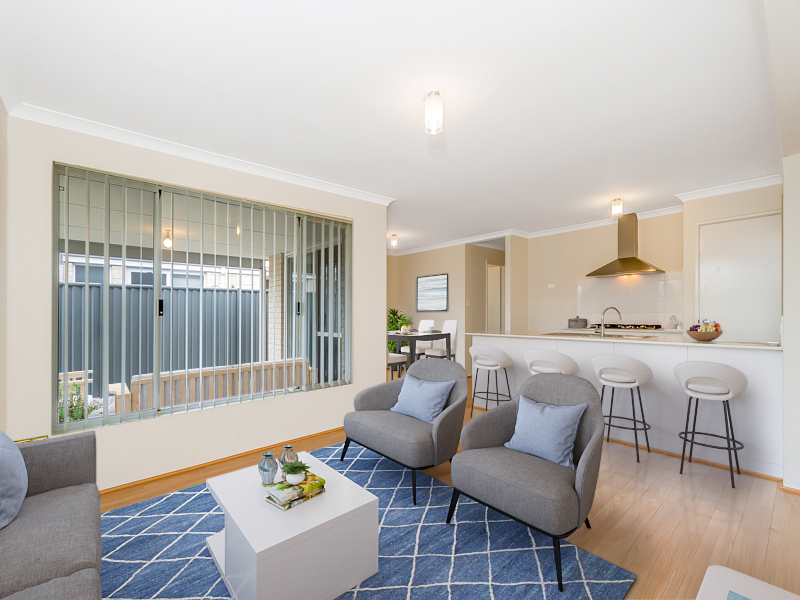 0
0 0
0
 0
0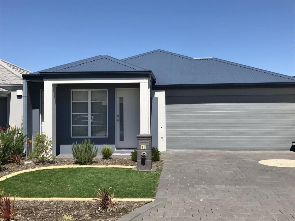 0
0
