24 Furnissdale RoadFurnissdale WA 6209
Property Details for 24 Furnissdale Rd, Furnissdale
Last Listing description (March 2016)
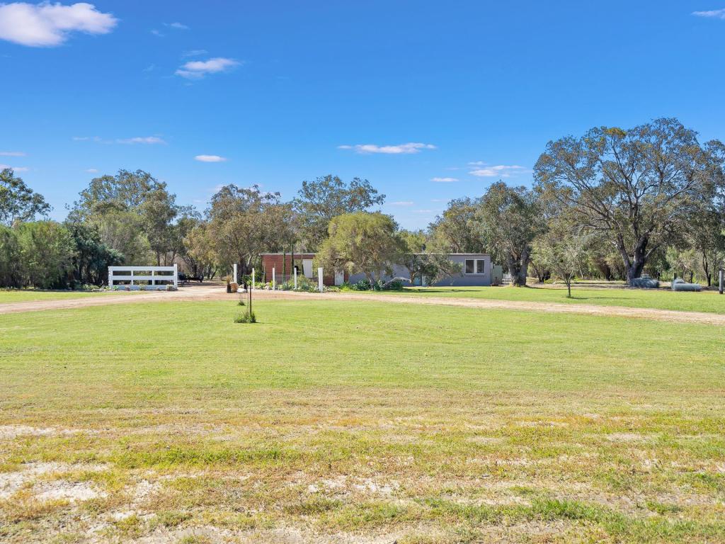
LOCATED IN THE SPECIAL AREA OF FURNISSDALE THAT IS INCLUDED IN THE STRATEGIC PLANNING OF 2031 DIRECTIONS & BEYOND DRAFT PAPER. FUTURE PLANNING OPPORTUNITIES EXIST WITH THE POSSIBILITY OF POTENTIAL STRATEGIC DEVELOPMENT COULD BE CONSIDERED. SPECIAL RESIDENTIAL ZONING WITH CAPACITY TO CLEAR LAND IF REQUIRED.- 30,477 SQUARE METERS OF LAND ( 7.5 ACRES )- 80M WIDE FRONT, 160 WIDE BACK , 254M LONG ON ONE SIDE- STRATEGIC AREA UNDER CONSIDERATION.- SPECIAL RESIDENTIAL- BACK AREA CAN BE PARTLY SUB-DIVIDED.PROPERTY CODE: 468
Property History for 24 Furnissdale Rd, Furnissdale, WA 6209
- 09 Mar 2016Listed for Sale $560,000
Commute Calculator
Recent sales nearby
See more recent sales nearbySimilar properties For Sale nearby
See more properties for sale nearbySimilar properties For Rent nearby
See more properties for rent nearbyAbout Furnissdale 6209
The size of Furnissdale is approximately 6.9 square kilometres. It has 8 parks covering nearly 6.7% of total area. The population of Furnissdale in 2011 was 1,027 people. By 2016 the population was 1,040 showing a population growth of 1.3% in the area during that time. The predominant age group in Furnissdale is 60-69 years. Households in Furnissdale are primarily childless couples and are likely to be repaying $1000 - $1399 per month on mortgage repayments. In general, people in Furnissdale work in a trades occupation. In 2011, 71.8% of the homes in Furnissdale were owner-occupied compared with 73.3% in 2016.
Furnissdale has 606 properties. Over the last 5 years, Houses in Furnissdale have seen a 73.52% increase in median value, while Units have seen a 173.27% increase. As at 31 October 2024:
- The median value for Houses in Furnissdale is $793,738 while the median value for Units is $220,408.
- Houses have a median rent of $250.
Suburb Insights for Furnissdale 6209
Market Insights
Furnissdale Trends for Houses
N/A
N/A
View TrendN/A
N/A
Furnissdale Trends for Units
N/A
N/A
View TrendN/A
N/A
Neighbourhood Insights
© Copyright 2024 RP Data Pty Ltd trading as CoreLogic Asia Pacific (CoreLogic). All rights reserved.

/assets/perm/g43e47wz4qi63galz7j7cyoy6u?signature=b1d9f81fb1826b2fe78c34d076b175ffa659ffb073a1fe06f3ecff8c1970bf79) 0
0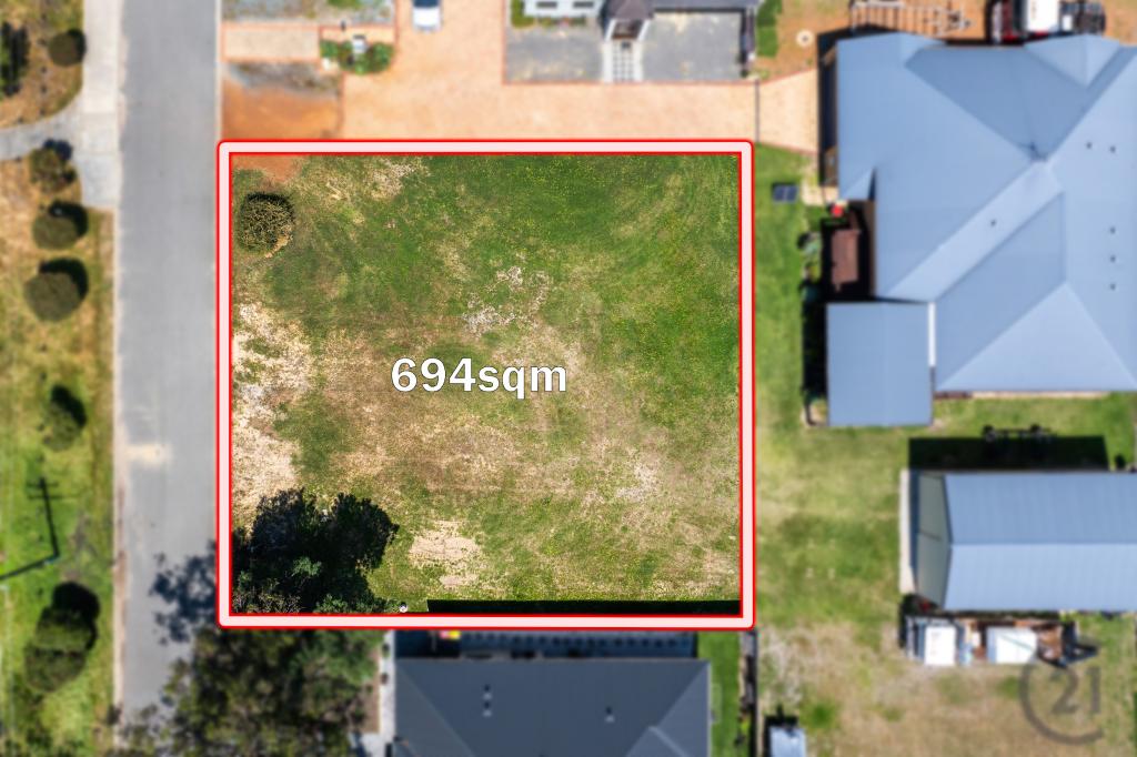 0
0
 0
0
 0
0

 0
0 0
0

 0
0
 0
0

