21 Mccook StreetForrestdale WA 6112
Property Details for 21 Mccook St, Forrestdale
Last Listing description (April 2019)
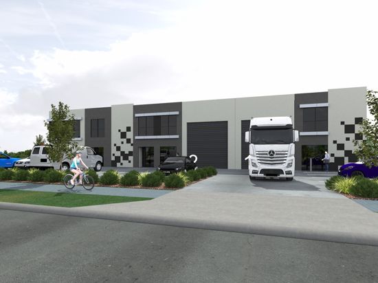
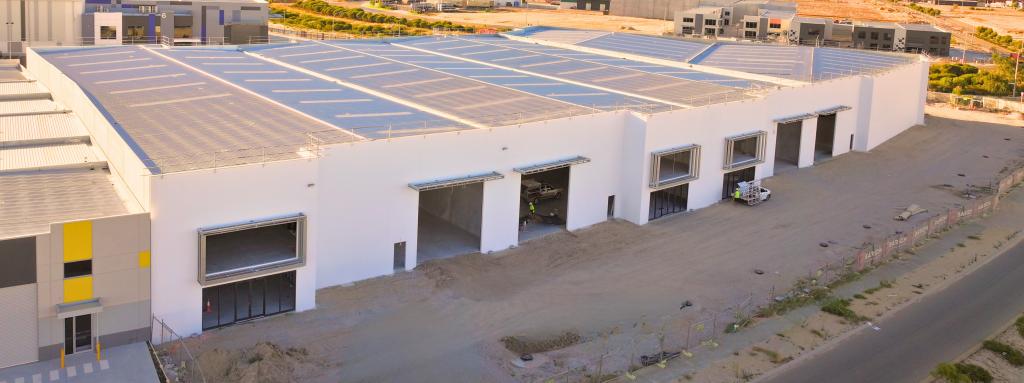
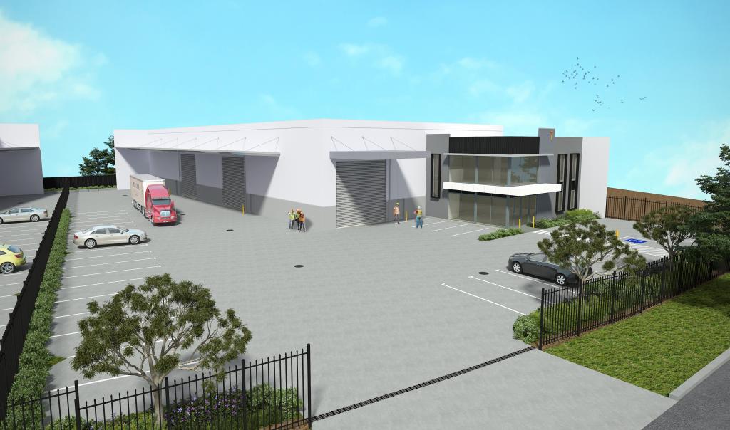
Location: This vacant block of land is conveniently located within the Forrestdale Business Park which forms part of the Armadale redevelopment area and is controlled by the Metropolitan Redevelopment Authority (MRA). It is at the western entrance to the City of Armadale. Being within the Forrestdale Business Park it is bounded by Tonkin Highway, Ranford Road and Armadale Road. It is approximately 23 kms south-east of the Perth CBD.
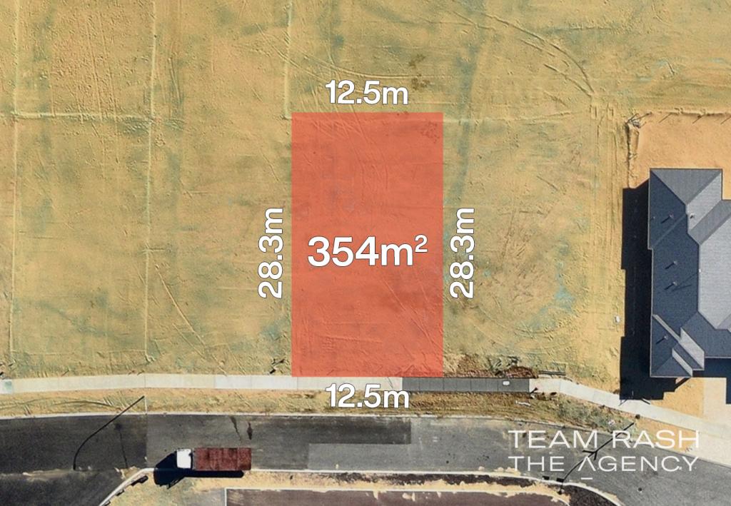
Land Details: The site is a rectangular shaped block with an area of 3,040 sqms, a frontage of 32 metres and a depth of 95 metres. There are 2 easements on the block associated with S.E.C. powerlines. There is also a memorial on the title associated with contaminated soil. As a result any development application to the MRA will be referred to the Department of Water & Environmental Regulation (DWER) who generally require a management plan to be prepared.
Zoning: General Industry Permitted uses include manufacturing, processing, storage, wholesaling and/or distribution processes.
Property History for 21 Mccook St, Forrestdale, WA 6112
- 27 Mar 2019Sold for $495,000
- 07 Aug 2017Listed for Sale Not Disclosed
- 17 Apr 2013Sold for $962,500
Commute Calculator
Recent sales nearby
See more recent sales nearbySimilar properties For Sale nearby
See more properties for sale nearbySimilar properties For Rent nearby
See more properties for rent nearbyAbout Forrestdale 6112
The size of Forrestdale is approximately 31.8 square kilometres. It has 12 parks covering nearly 37.7% of total area. The population of Forrestdale in 2011 was 1,062 people. By 2016 the population was 1,088 showing a population growth of 2.4% in the area during that time. The predominant age group in Forrestdale is 50-59 years. Households in Forrestdale are primarily couples with children and are likely to be repaying $1800 - $2399 per month on mortgage repayments. In general, people in Forrestdale work in a trades occupation. In 2011, 78% of the homes in Forrestdale were owner-occupied compared with 74.3% in 2016.
Forrestdale has 2,024 properties. Over the last 5 years, Houses in Forrestdale have seen a 94.86% increase in median value, while Units have seen a 42.44% increase. As at 31 August 2024:
- The median value for Houses in Forrestdale is $830,856 while the median value for Units is $513,696.
- Houses have a median rent of $690.
Suburb Insights for Forrestdale 6112
Market Insights
Forrestdale Trends for Houses
N/A
N/A
View TrendN/A
N/A
Forrestdale Trends for Units
N/A
N/A
View TrendN/A
N/A
Neighbourhood Insights
© Copyright 2024 RP Data Pty Ltd trading as CoreLogic Asia Pacific (CoreLogic). All rights reserved.

 0
0
 0
0
 0
0
 0
0
 0
0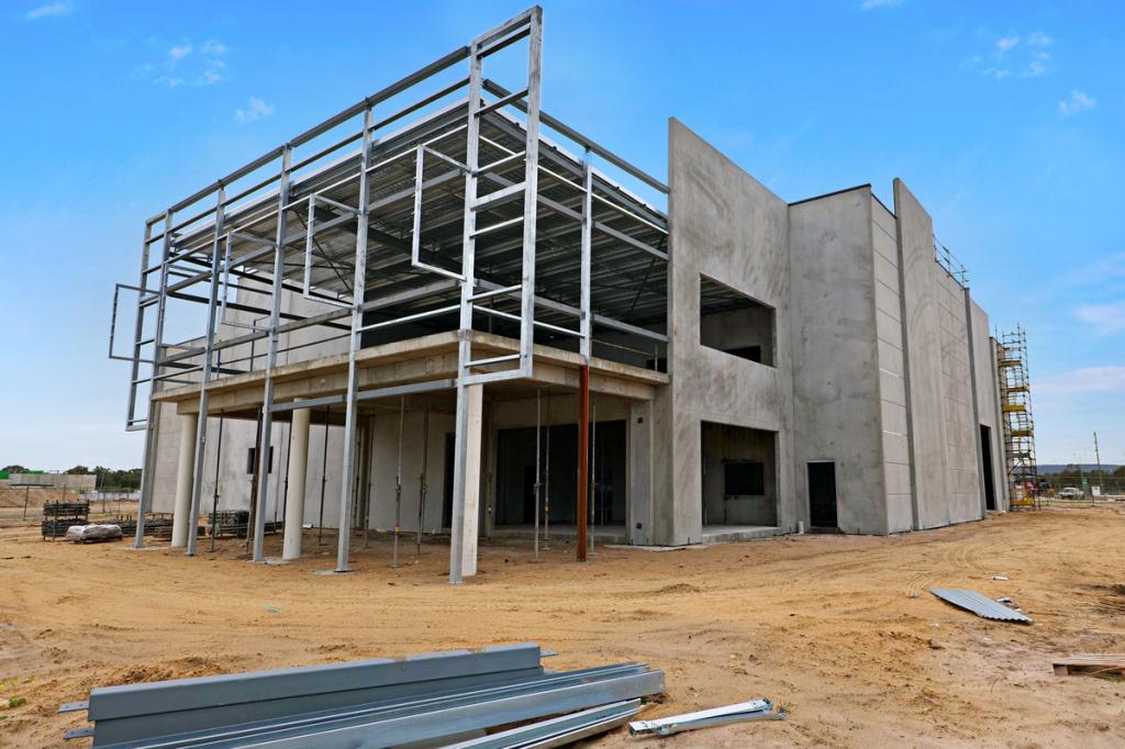 0
0

 0
0
