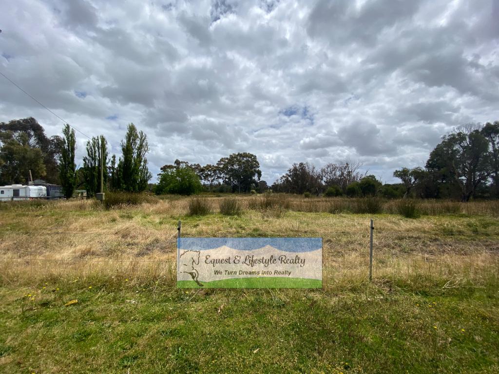
161 Marston RoadCookernup WA 6220
Property Details for 161 Marston Rd, Cookernup
Last Listing description (July 2019)
- Located on the corner of Johnston and Meredith Roads 11km west of Yarloop incorporating both the Waroona and Harvey Shires
- Extensive summer flats with well established kikuyu, rye grass and clover based pastures
- Slightly undulating to flat country set amongst Red Gum, Jarrah and Paperbark trees on primarily peaty Bassendean sand flats
- Owner built steel cattle yards to hold 120-50 head
- 4 dams supply year round water supply and the Meredith Drain runs through the middle of the block
- Historically utilized as a run off block to service a dairy operation, this property has the potential and scale to be developed into a productive standalone farming unit
- Soil types and locality could suit alternative farming pursuits like Tea tree production
For further information and inspection contact
Chris Waddingham 0409 931 831
Property History for 161 Marston Rd, Cookernup, WA 6220
- 19 Nov 2018Listed for Sale $1,030,000
- 16 Aug 2017Sold for $20
- 04 Nov 2005Sold for $120,000
Commute Calculator
About Cookernup 6220
The size of Cookernup is approximately 82.5 square kilometres. It has 5 parks covering nearly 1% of total area. The population of Cookernup in 2011 was 771 people. By 2016 the population was 524 showing a population decline of 32.0% in the area during that time. The predominant age group in Cookernup is 50-59 years. Households in Cookernup are primarily couples with children and are likely to be repaying $1800 - $2399 per month on mortgage repayments. In general, people in Cookernup work in a trades occupation. In 2011, 79.6% of the homes in Cookernup were owner-occupied compared with 84.6% in 2016..
Cookernup has 291 properties. Over the last 5 years, Houses in Cookernup have seen a 55.41% increase in median value. As at 31 January 2025:
- The median value for Houses in Cookernup is $796,177 while the median value for Units is $234,200.
Suburb Insights for Cookernup 6220
Market Insights
Cookernup Trends for Houses
N/A
N/A
View TrendN/A
N/A
Cookernup Trends for Units
N/A
N/A
View TrendN/A
N/A
Neighbourhood Insights
© Copyright 2025 RP Data Pty Ltd trading as CoreLogic Asia Pacific (CoreLogic). All rights reserved.

 0
0

