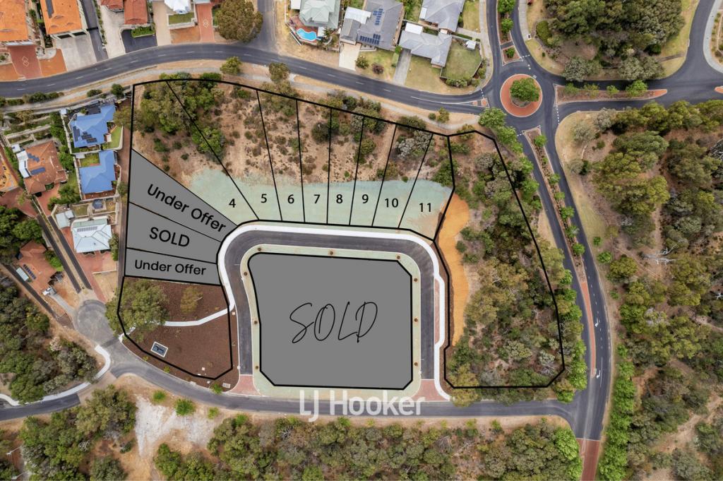
St Johns MewsCollege Grove WA 6230

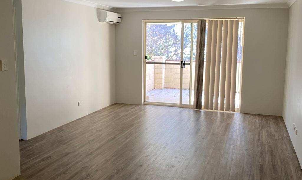
Property Details for Lot 933 St Johns Mews, College Grove
Property History for Lot 933 St Johns Mews, College Grove, WA 6230
Similar properties For Sale nearby
See more properties for sale nearby


Similar properties For Rent nearby
See more properties for rent nearby
About College Grove 6230
The size of College Grove is approximately 5.7 square kilometres. It has 4 parks covering nearly 35.4% of total area. The population of College Grove in 2011 was 1,484 people. By 2016 the population was 1,587 showing a population growth of 6.9% in the area during that time. The predominant age group in College Grove is 40-49 years. Households in College Grove are primarily couples with children and are likely to be repaying $1800 - $2399 per month on mortgage repayments. In general, people in College Grove work in a professional occupation. In 2011, 73.1% of the homes in College Grove were owner-occupied compared with 76.6% in 2016.
College Grove has 585 properties. Over the last 5 years, Houses in College Grove have seen a 112.55% increase in median value, while Units have seen a 26.94% increase. As at 28 February 2025:
- The median value for Houses in College Grove is $647,183 while the median value for Units is $505,582.
- Houses have a median rent of $620.
What's around Lot 933 St Johns Mews, College Grove
Lot 933 St Johns Mews, College Grove is in the school catchment zone for Newton Moore Senior High School.


Suburb Insights for College Grove 6230
Market Insights
College Grove Trends for Houses
$647k
25.46%
View Trend$620/W
5.62%
College Grove Trends for Units
$506k
N/A
View TrendN/A
4.73%
Neighbourhood Insights
Age
Population 1,587
0-9
10%
10-19
11%
20-29
16%
30-39
16%
40-49
17%
50-59
14%
60-69
8%
70-79
5%
80-89
2%
90-99
1%
Household Structure
Occupancy
© Copyright 2025 RP Data Pty Ltd trading as CoreLogic Asia Pacific (CoreLogic). All rights reserved.