737 Burnside RoadBurnside WA 6285
Property Details for 737 Burnside Rd, Burnside
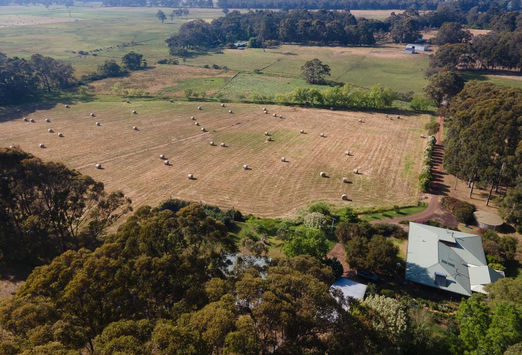
737 Burnside Rd, Burnside is a 3 bedroom, 1 bathroom House with 2 parking spaces and was built in 1990. The property has a land size of 40567m2 and floor size of 130m2. While the property is not currently for sale or for rent, it was last sold in November 2024. There are other 3 bedroom House sold in Burnside in the last 12 months.
Last Listing description (December 2024)
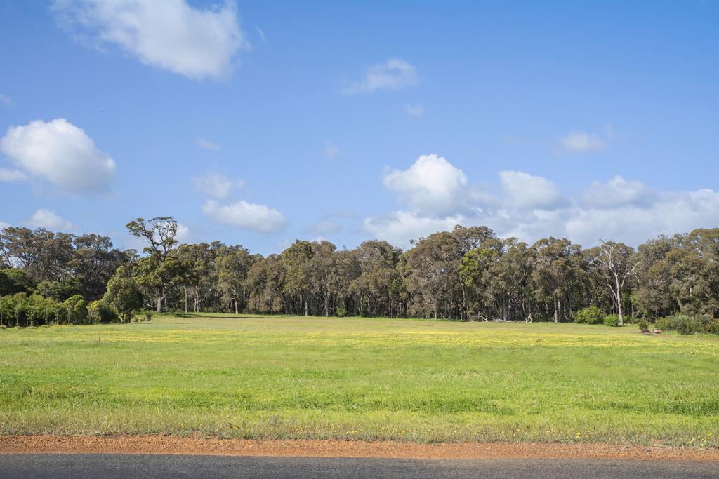
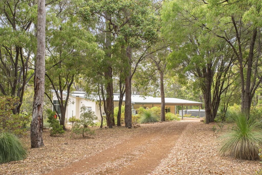
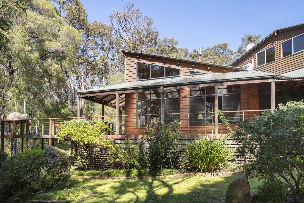
This beautifully renovated home highlights the beauty of simplicity with its elegant design. The layout is well-planned, creating a chic and sophisticated space for modern living.The design focuses on spacious living areas, allowing plenty of natural light to fill the home. A fresh white, black, and soft sage green palette adds a calming touch. High-panelled ceilings, timber accents, classic French doors, and exposed brickwork create a warm and inviting atmosphere.The stylish one-wall kitchen showcases a perfect combination of function and form. Black fixtures and fittings create a striking contrast against the white cabinetry and industrial-style shelving. The kitchen features stainless steel appliances and a soft-close drawer system, while the spacious timber benchtop adds warmth to this inviting space.This home has an open living space that feels calm and cozy, thanks to a woodfire heater that keeps it warm all year. The house includes three spacious bedrooms, a separate laundry room with access to the outside, and a stylish bathroom that completes the living area.Double French doors lead to a spacious undercover alfresco area and fire pit. At the same time, the front windows and main entrance seamlessly connect the indoors with the natural surroundings, promoting a sense of calm and relaxation. With an impressive size of 4.06 ha block boasts an abundance of assorted fauna and flora, with the forest vegetation being dominated by Jarrah, Marri, Redgum, Australian grass trees and wildflowers. This rural lifestyle property will allow you space and privacy amongst nature all year round.ADDITIONAL INFORMATIONBlanco Oven 600mmGas Cooktop 600mmLG DishwasherDouble garageAmple parking for guestsStorage space for boat, trailer and or CaravanThe overall aesthetic effortlessly merges contemporary style with a hint of industrial charm, resulting in a cozy, modern and timeless ambience. Each detail has been carefully considered to enhance the home's character and functionality, making it a perfect sanctuary for relaxation and entertainment.Located only minutes from world-class wineries, the pristine beaches of Gnarabup, Prevelly and Kilcarnup and a 10-minute drive into Margaret River town centre. Escape the hustle and bustle and immerse yourself in the southwest country life.For a private inspection, please contact Paul Manners, the Southwest property specialist.
Property History for 737 Burnside Rd, Burnside, WA 6285
- 17 Nov 2024Sold for $1,450,000
- 13 Nov 2024Listed for Sale Offers from $1,350,000
- 26 Jun 2021Sold for $720,000
Commute Calculator
Recent sales nearby
See more recent sales nearbySimilar properties For Sale nearby
See more properties for sale nearbyAbout Burnside 6285
The size of Burnside is approximately 19.5 square kilometres. It has 5 parks covering nearly 6% of total area. The population of Burnside in 2011 was 472 people. By 2016 the population was 268 showing a population decline of 43.2% in the area during that time. The predominant age group in Burnside is 40-49 years. Households in Burnside are primarily couples with children and are likely to be repaying $3000 - $3999 per month on mortgage repayments. In general, people in Burnside work in a professional occupation. In 2011, 67.8% of the homes in Burnside were owner-occupied compared with 73.2% in 2016.
Burnside has 222 properties. Over the last 5 years, Houses in Burnside have seen a 77.73% increase in median value, while Units have seen a 90.69% increase. As at 30 November 2024:
- The median value for Houses in Burnside is $1,665,635 while the median value for Units is $464,950.
Suburb Insights for Burnside 6285
Market Insights
Burnside Trends for Houses
N/A
N/A
View TrendN/A
N/A
Burnside Trends for Units
N/A
N/A
View TrendN/A
N/A
Neighbourhood Insights
© Copyright 2025 RP Data Pty Ltd trading as CoreLogic Asia Pacific (CoreLogic). All rights reserved.


 0
0

/assets/perm/gptjzekjfui6zjeav7v3qdg2oy?signature=f972590c5c6a2bb117912140bcfe3ed91dd92d99c7487db052a1fca5482dc3d6) 0
0/assets/perm/3yeah7cuvyi6roagxgdryb4y6a?signature=946142abffdb54a312e580ed82705eac2e667a5061cd1df164c6a9abc180766b) 0
0 0
0 0
0 0
0


