119 Freshwater DriveBurnside WA 6285
Property Details for 119 Freshwater Dr, Burnside
Last Listing description (April 2022)
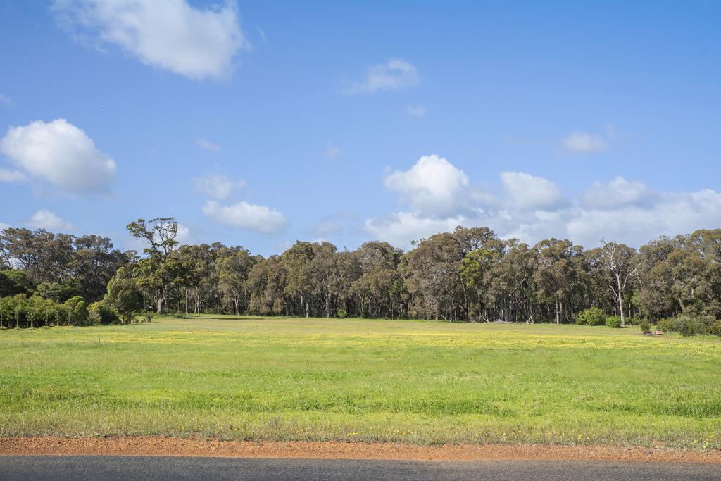
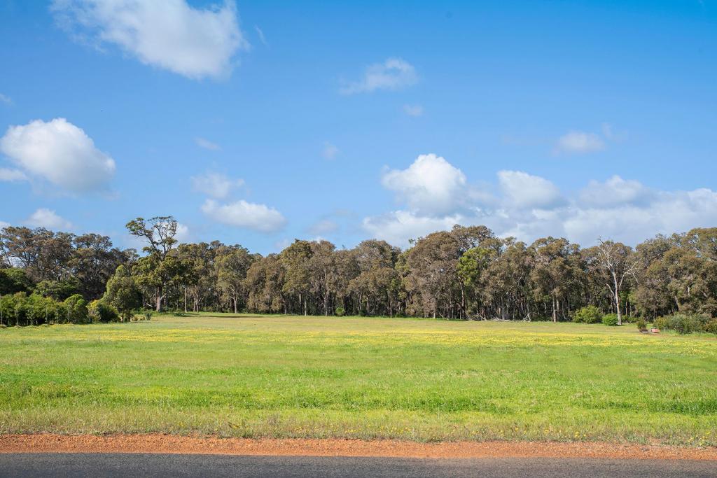
This magnificent 3.02ha block, located on the northern bank of the Margaret River, provides stunning river valley views and the most idyllic location imaginable for your future home.
Predominantly cleared around the building envelope area, you will be able to plan a solar passive residence that captures the warming winter rays from the northern aspect whilst maximising the views over the Margaret River valley to the south. Several stands of mature trees provide privacy from the road and neighbours, the basis for your landscaping creativity and protection from the prevailing winds.
Bordered by the Wooditjup National Park to the east and a river reserve containing a picturesque walk trail that follows the Margaret River and its beautiful main waterfall to the south, you literally have untouchable nature on your doorstep and a direct approach to its beauty forever.
Blocks of this nature with such quality views, location and size are a rare commodity, so don't miss this chance to secure a superior patch of land in one of the very best locations in the south west of WA.
Property History for 119 Freshwater Dr, Burnside, WA 6285
- 15 Jan 2022Sold for $1,295,000
- 08 Jan 2022Listed for Sale Under Offer
Commute Calculator
Recent sales nearby
See more recent sales nearbySimilar properties For Sale nearby
See more properties for sale nearbyAbout Burnside 6285
The size of Burnside is approximately 19.5 square kilometres. It has 5 parks covering nearly 6% of total area. The population of Burnside in 2011 was 472 people. By 2016 the population was 268 showing a population decline of 43.2% in the area during that time. The predominant age group in Burnside is 40-49 years. Households in Burnside are primarily couples with children and are likely to be repaying $3000 - $3999 per month on mortgage repayments. In general, people in Burnside work in a professional occupation. In 2011, 67.8% of the homes in Burnside were owner-occupied compared with 73.2% in 2016.
Burnside has 222 properties. Over the last 5 years, Houses in Burnside have seen a 26.99% increase in median value, while Units have seen a 90.69% increase. As at 31 October 2024:
- The median value for Houses in Burnside is $1,194,188 while the median value for Units is $464,950.
Suburb Insights for Burnside 6285
Market Insights
Burnside Trends for Houses
N/A
N/A
View TrendN/A
N/A
Burnside Trends for Units
N/A
N/A
View TrendN/A
N/A
Neighbourhood Insights
© Copyright 2024 RP Data Pty Ltd trading as CoreLogic Asia Pacific (CoreLogic). All rights reserved.

 0
0
 0
0 0
0

 0
0
