16 Third AvenueBurns Beach WA 6028
Property Details for 16 Third Ave, Burns Beach
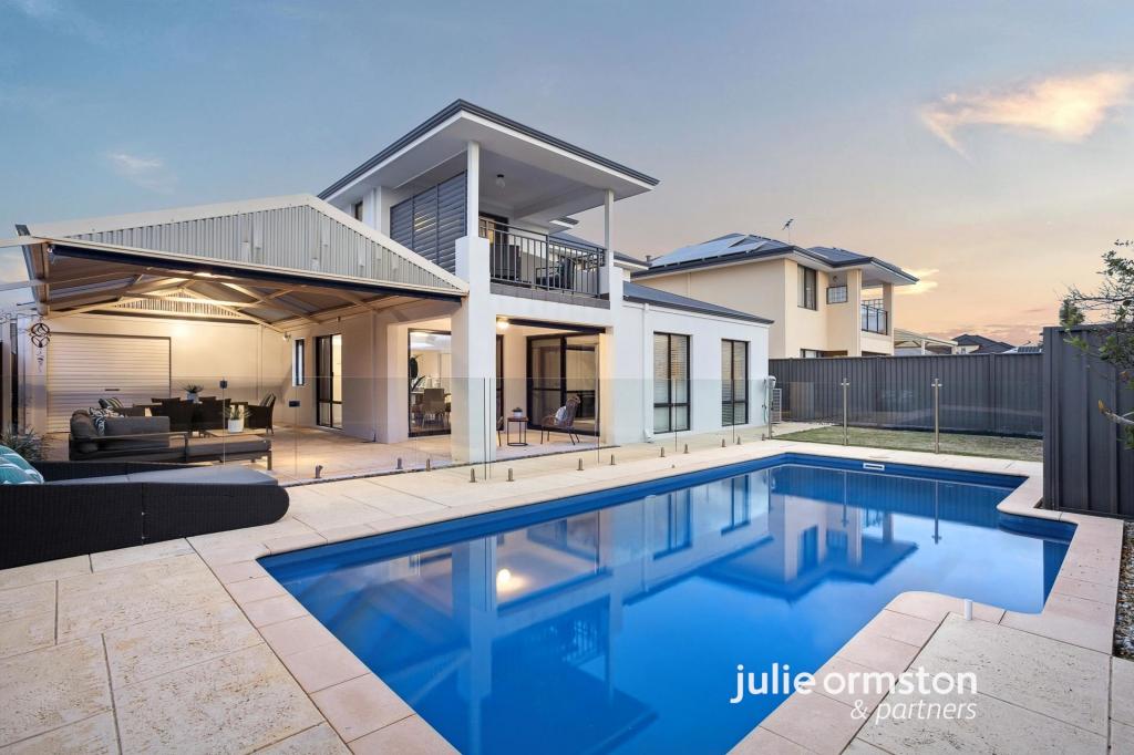
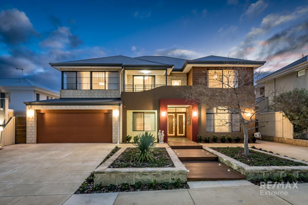
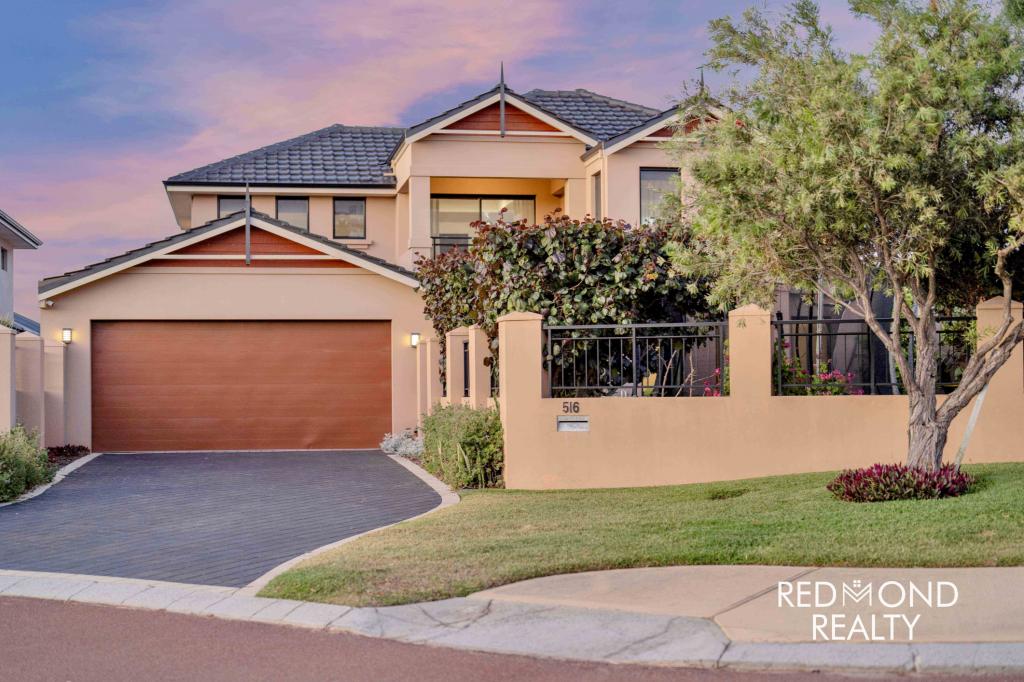
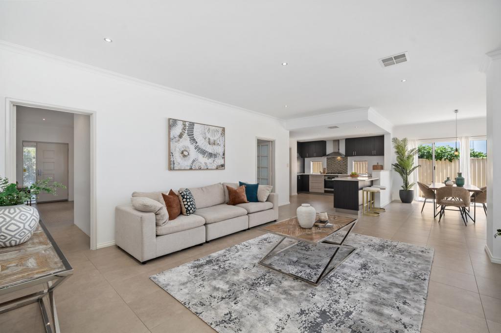
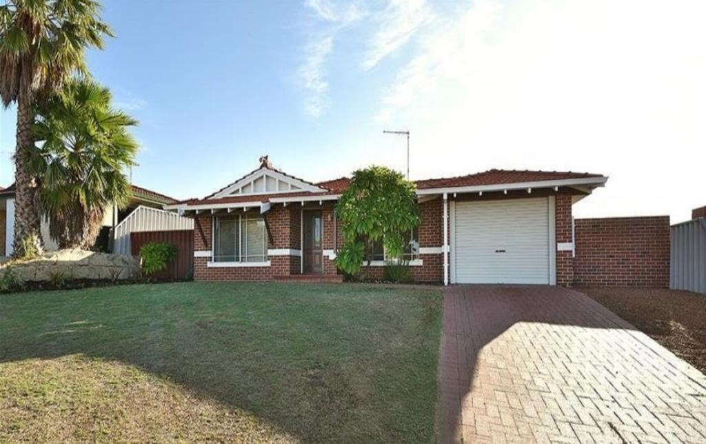
16 Third Ave, Burns Beach is a 4 bedroom, 3 bathroom House with 2 parking spaces and was built in 2016. The property has a land size of 621m2 and floor size of 292m2. While the property is not currently for sale or for rent, it was last sold in February 2015.
Last Listing description (March 2015)
DREAM OCEAN FRONT BLOCK
WOW! - 621M2 OF PRIME OCEAN FRONT LAND TO BUILD YOUR DREAM HOME IN WONDER OLD BURNS. ABSOLUTELY MUST BE SEEN! CALL PAUL 'THE BLOCK BLOKE' TO DISCUSS. BURNS BEACH MARKS ONE END OF A COASTAL NATURE WALK EXTENDING TO FREMANTLE. THE SUBURB ALSO CONTAINS A CAFE AND RESTAURANT AND PICNIC AREA AND A COMMUNITY CENTRE. BURNS BEACH IS LOCATED 34 KILOMETRES (21 MILES) NORTH OF PERTH AND WAS ORIGINALLY OWNED BY THE MIDLAND RAILWAY COMPANY. IN 1908, FOLLOWING A REQUEST FROM 50 LOCAL RESIDENTS, THE WANNEROO ROAD BOARD (WHICH EVENTUALLY BECAME WANNEROO CITY COUNCIL) SUCCESSFULLY APPLIED FOR A 20-HECTARE (49-ACRE) RESERVE FOR CAMPING AND A HEALTH RESORT. BY THE 1920S, THE AREA WAS WELL USED BY LOCALS WHO KNEW THE AREA AS ''BURNS BEACH'' AFTER A FARMER WHO RAN SHEEP IN THE AREA.
Property History for 16 Third Ave, Burns Beach, WA 6028
- 09 Feb 2015Sold for $730,000
- 28 Apr 2014Listed for Sale FROM $799,000
- 16 Jul 2013Listed for Sale FROM $899,000
Commute Calculator
Recent sales nearby
See more recent sales nearbySimilar properties For Sale nearby
See more properties for sale nearbySimilar properties For Rent nearby
See more properties for rent nearbyAbout Burns Beach 6028
The size of Burns Beach is approximately 3.4 square kilometres. It has 12 parks covering nearly 56.1% of total area. The population of Burns Beach in 2011 was 1,606 people. By 2016 the population was 3,375 showing a population growth of 110.1% in the area during that time. The predominant age group in Burns Beach is 40-49 years. Households in Burns Beach are primarily couples with children and are likely to be repaying $3000 - $3999 per month on mortgage repayments. In general, people in Burns Beach work in a professional occupation. In 2011, 89.8% of the homes in Burns Beach were owner-occupied compared with 89.3% in 2016.
Burns Beach has 1,856 properties. Over the last 5 years, Houses in Burns Beach have seen a 79.18% increase in median value, while Units have seen a 197.68% increase. As at 30 November 2024:
- The median value for Houses in Burns Beach is $1,376,522 while the median value for Units is $849,380.
- Houses have a median rent of $1,175.
Suburb Insights for Burns Beach 6028
Market Insights
Burns Beach Trends for Houses
N/A
N/A
View TrendN/A
N/A
Burns Beach Trends for Units
N/A
N/A
View TrendN/A
N/A
Neighbourhood Insights
© Copyright 2024 RP Data Pty Ltd trading as CoreLogic Asia Pacific (CoreLogic). All rights reserved.


 0
0

 0
0
 0
0
 0
0
 0
0 0
0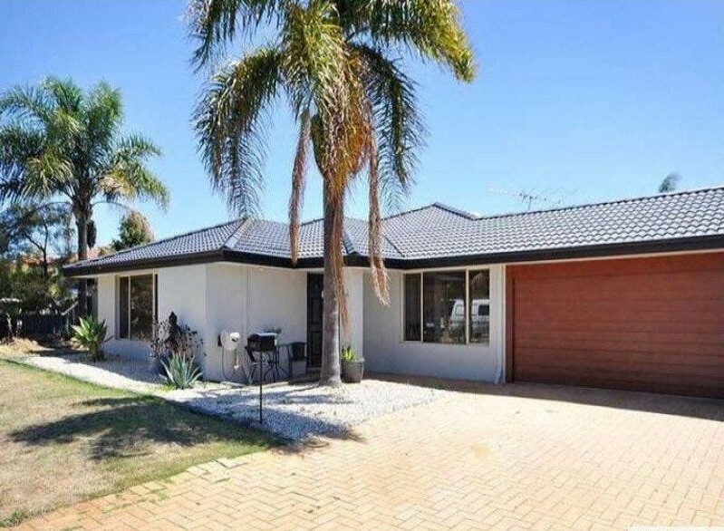 0
0

