151 Pharaohs RoadWarragul VIC 3820
Property Details for 151 Pharaohs Rd, Warragul
Last Listing description (March 2019)
58 hilltop acres (approx.) provide the potential, peace and picturesque views to define a new era. Surrounds that deliver significant lifestyle appeal and keeping all the area s schools within just 5 minutes reach complement an extraordinary development opportunity offering up to 52 developable acres (residential) within the Urban Growth Zone, and with the added benefits of no easements, town services on boundary and sealed road access along the full length of the western border.
Council has recommended 11 lots per hectare, (note there is no minimum land size for house blocks). Conservative estimate of 232 lots for this site.
Backed by local waterway and the green golfing ranges of the Warragul Country Club, new school across the road and impressively positioned less than ten minutes from the town centre and v-line train station.
Features:
* 58 acres (approx.) of extraordinary development potential
* Picturesque views towards the town
* Urban Growth Zone, PSP Residential 1
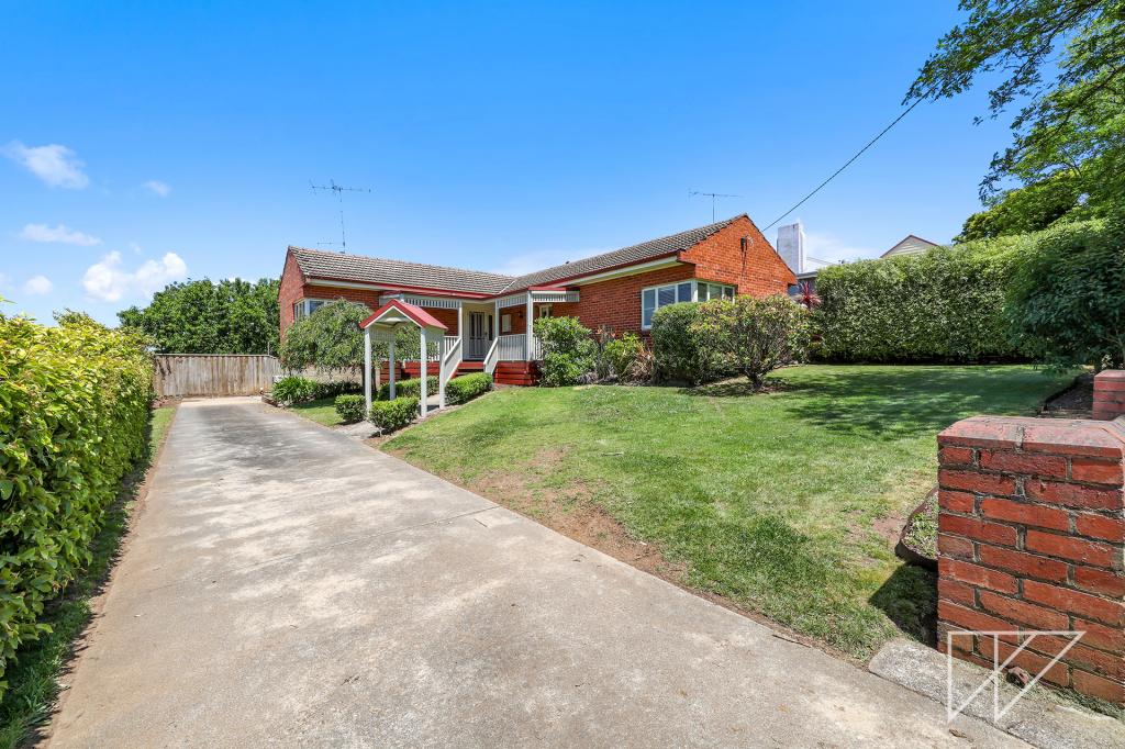
* Currently home to 3-bedroom brick veneer dwelling
* Town services on boundary, sealed road access, no easements
* Backing onto Warragul Country Club
* Impressively positioned 5 minutes to schools and the station
* Under 90 minutes to Melbourne CBD
Property History for 151 Pharaohs Rd, Warragul, VIC 3820
- 05 Mar 2024Sold for $16,900,000
- 22 Dec 2018Sold for $12,500,000
- 12 Sep 2018Listed for Sale Not Disclosed
Commute Calculator
Recent sales nearby
See more recent sales nearbySimilar properties For Sale nearby
See more properties for sale nearbySimilar properties For Rent nearby
See more properties for rent nearbyAbout Warragul 3820
The size of Warragul is approximately 55 square kilometres. It has 43 parks covering nearly 4.4% of total area. The population of Warragul in 2011 was 14,073 people. By 2016 the population was 15,764 showing a population growth of 12.0% in the area during that time. The predominant age group in Warragul is 50-59 years. Households in Warragul are primarily childless couples and are likely to be repaying $1000 - $1399 per month on mortgage repayments. In general, people in Warragul work in a professional occupation. In 2011, 71.9% of the homes in Warragul were owner-occupied compared with 72.7% in 2016.
Warragul has 12,723 properties. Over the last 5 years, Houses in Warragul have seen a 40.48% increase in median value, while Units have seen a 42.31% increase. As at 31 October 2024:
- The median value for Houses in Warragul is $670,785 while the median value for Units is $420,824.
- Houses have a median rent of $520 while Units have a median rent of $380.
Suburb Insights for Warragul 3820
Market Insights
Warragul Trends for Houses
N/A
N/A
View TrendN/A
N/A
Warragul Trends for Units
N/A
N/A
View TrendN/A
N/A
Neighbourhood Insights
© Copyright 2024 RP Data Pty Ltd trading as CoreLogic Asia Pacific (CoreLogic). All rights reserved.

 0
0
 0
0 0
0
 0
0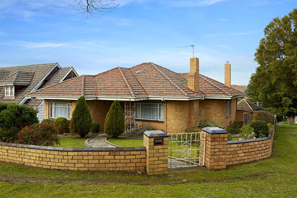 0
0 0
0
 0
0

