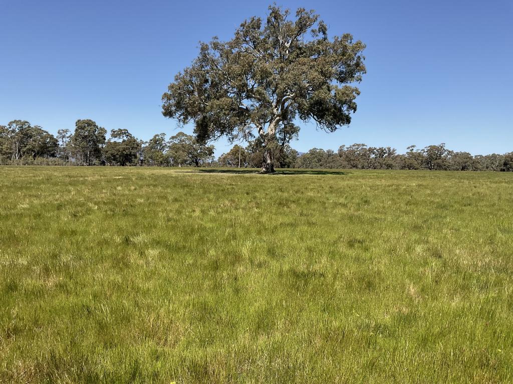
276 Dunstans RoadTelangatuk East VIC 3401
Property Details for 276 Dunstans Rd, Telangatuk East
Last Listing description (March 2024)
This property presents as an immaculate turn-key continuous cropping property in the tightly held district of Telangatuk East, 60km from Horsham. It demonstrates its reliability as a solid grain production business in a 525mm annual rainfall zone with contour drainage and retained stubbles to buffer extreme weather events and climate change resilience.
Approximately equal in size, the property is held on two titles. The Home Block features most of the improvements and Robbie's features permanent underground water. Both blocks have laneway systems, a shearing shed, gravelled boom spray fill sites, external gates and fences.
The property is naturally undulating with creek drainage and shelterbelts planted in the 1990s. The topsoil depth is considerable with parts to 1m. The soils range from deep sandy loams to clay loam to heavy clays. The topsoil is slightly acidic, with an alkaline subsoil. Lime and gypsum have been consistently applied using variable rate accordingly to test data. The property weather station and soil probe data show that plant roots are active to 1m.
Robbie's has two bores equipped with electric submersible pumps powered by a 10 kVa diesel generator, in a shed, with a 400L diesel tank. The gravelled boom spray fill site has a 5,000-gallon tank with mains power and turning space. Robbie's also has an implement shed, 3 stand electric woolshed, internal all-weather road for harvest access and contour drainage.
The Home Block presents two well-maintained houses with established gardens and watering systems. The homestead offers three bedrooms each with built in robes and two bathrooms, a huge family room, a modern open kitchen with a casual dining area, a second large formal room, plus an office. The house is fully ducted with evaporative air conditioning, and two wood heaters. The original cottage has been renovated and updated with a new bathroom and laundry, a four-door garage with storage space, and a heated in-ground swimming pool.
Titles can be separated for sale.
To be sold by Expression of Interest.
EOI closes 2pm Wednesday 6th December 2023.
Property History for 276 Dunstans Rd, Telangatuk East, VIC 3401
- 19 Oct 2023Listed for Sale Not Disclosed
- 01 Apr 2022Transferred
Commute Calculator
Recent sales nearby
See more recent sales nearbyAbout Telangatuk East 3401
The size of Telangatuk East is approximately 298.4 square kilometres. It has 3 parks covering nearly 37% of total area. The population of Telangatuk East in 2011 was 224 people. By 2016 the population was 59 showing a population decline of 73.7% in the area during that time. The predominant age group in Telangatuk East is 0-9 years. Households in Telangatuk East are primarily couples with children and are likely to be repaying $1000 - $1399 per month on mortgage repayments. In general, people in Telangatuk East work in a managers occupation. In 2011, 68.8% of the homes in Telangatuk East were owner-occupied compared with 75% in 2016..
Telangatuk East has 59 properties. As at 30 November 2024:
- The median value for Houses in Telangatuk East is $506,975.
Suburb Insights for Telangatuk East 3401
Market Insights
Telangatuk East Trends for Houses
N/A
N/A
View TrendN/A
N/A
Telangatuk East Trends for Units
N/A
N/A
View TrendN/A
N/A
Neighbourhood Insights
© Copyright 2024 RP Data Pty Ltd trading as CoreLogic Asia Pacific (CoreLogic). All rights reserved.

 0
0
