13 Bond StreetTalbot VIC 3371
Property Details for 13 Bond St, Talbot
Last Listing description (June 2022)
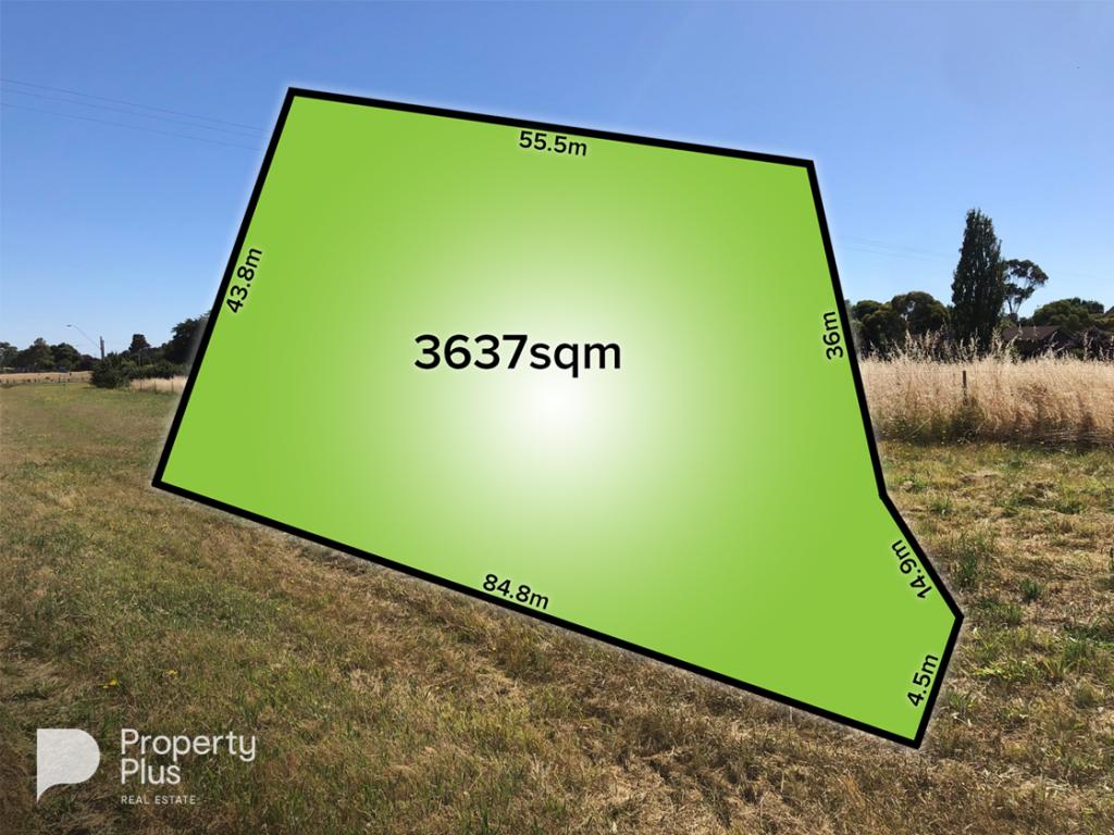
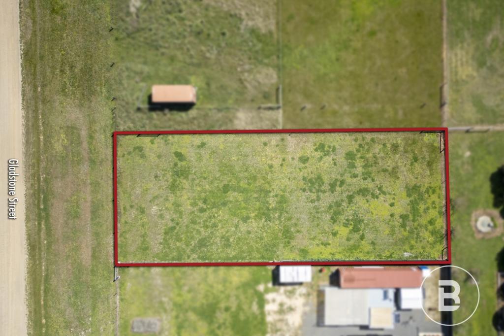
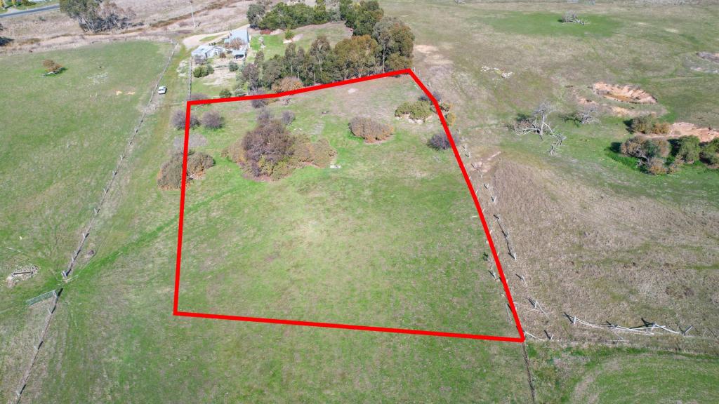
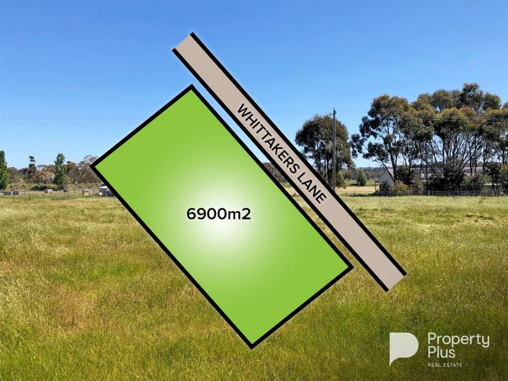
Approx 1 & 3/4 acres of land located on the outskirts of the historic township of Talbot only a short drive from Maryborough. The land is cleared with water connected, power crossing and telephone passing. The zoning is a mixed bag with Residential, Rural Living, leased and Possessary parcels. For clarification regarding permits and restrictions contact the Central Goldfields Shire.
Property History for 13 Bond St, Talbot, VIC 3371
- 21 Mar 2022Listed for Sale $110,000
Commute Calculator
Recent sales nearby
See more recent sales nearbySimilar properties For Sale nearby
See more properties for sale nearbyAbout Talbot 3371
The size of Talbot is approximately 32.5 square kilometres. It has 2 parks covering nearly 11.2% of total area. The population of Talbot in 2011 was 714 people. By 2016 the population was 439 showing a population decline of 38.5% in the area during that time. The predominant age group in Talbot is 50-59 years. Households in Talbot are primarily childless couples and are likely to be repaying $600 - $799 per month on mortgage repayments. In general, people in Talbot work in a labourer occupation. In 2011, 86.4% of the homes in Talbot were owner-occupied compared with 77.9% in 2016.
Talbot has 452 properties. Over the last 5 years, Houses in Talbot have seen a 100.97% increase in median value, while Units have seen a -16.72% decrease. As at 31 October 2024:
- The median value for Houses in Talbot is $387,374 while the median value for Units is $268,052.
Suburb Insights for Talbot 3371
Market Insights
Talbot Trends for Houses
N/A
N/A
View TrendN/A
N/A
Talbot Trends for Units
N/A
N/A
View TrendN/A
N/A
Neighbourhood Insights
© Copyright 2024 RP Data Pty Ltd trading as CoreLogic Asia Pacific (CoreLogic). All rights reserved.

 0
0

 0
0

 0
0
 0
0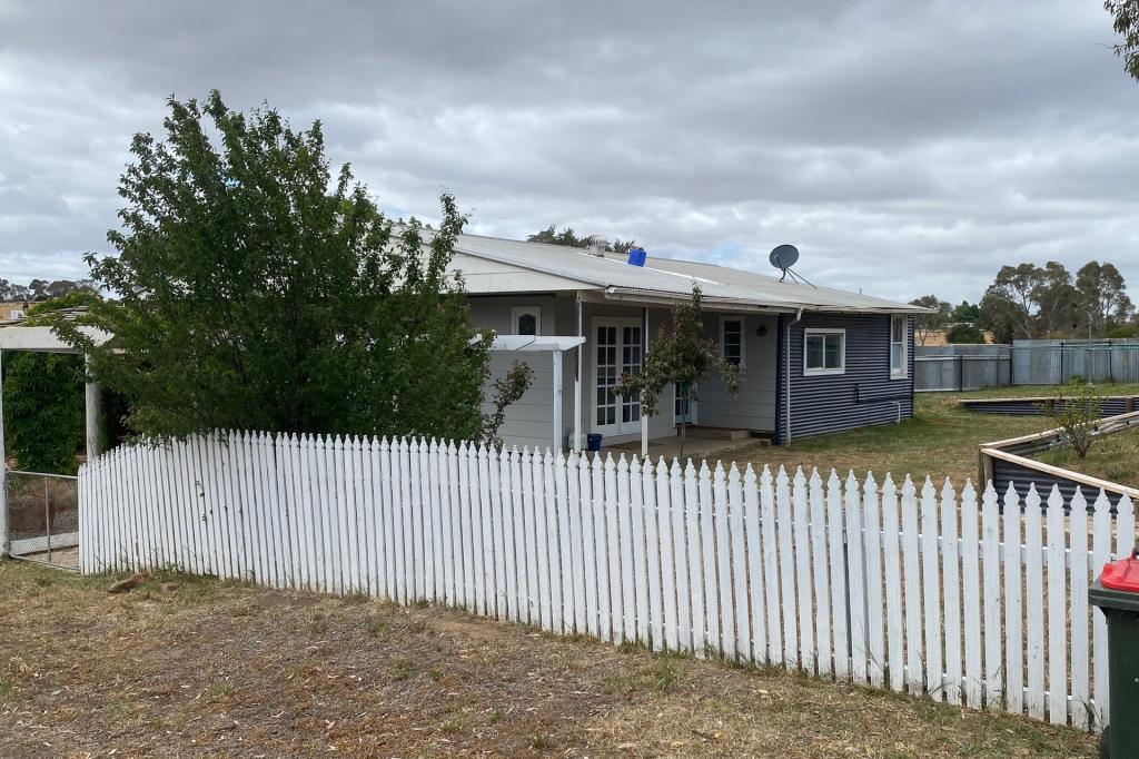 0
0

