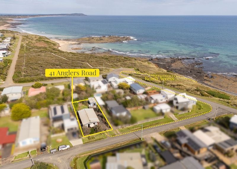
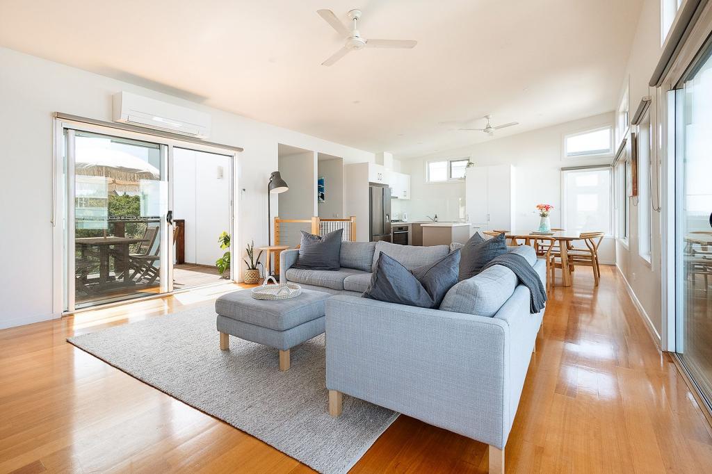
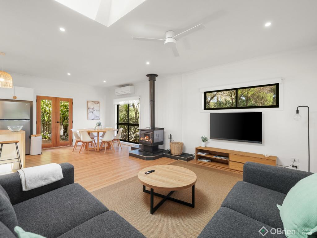
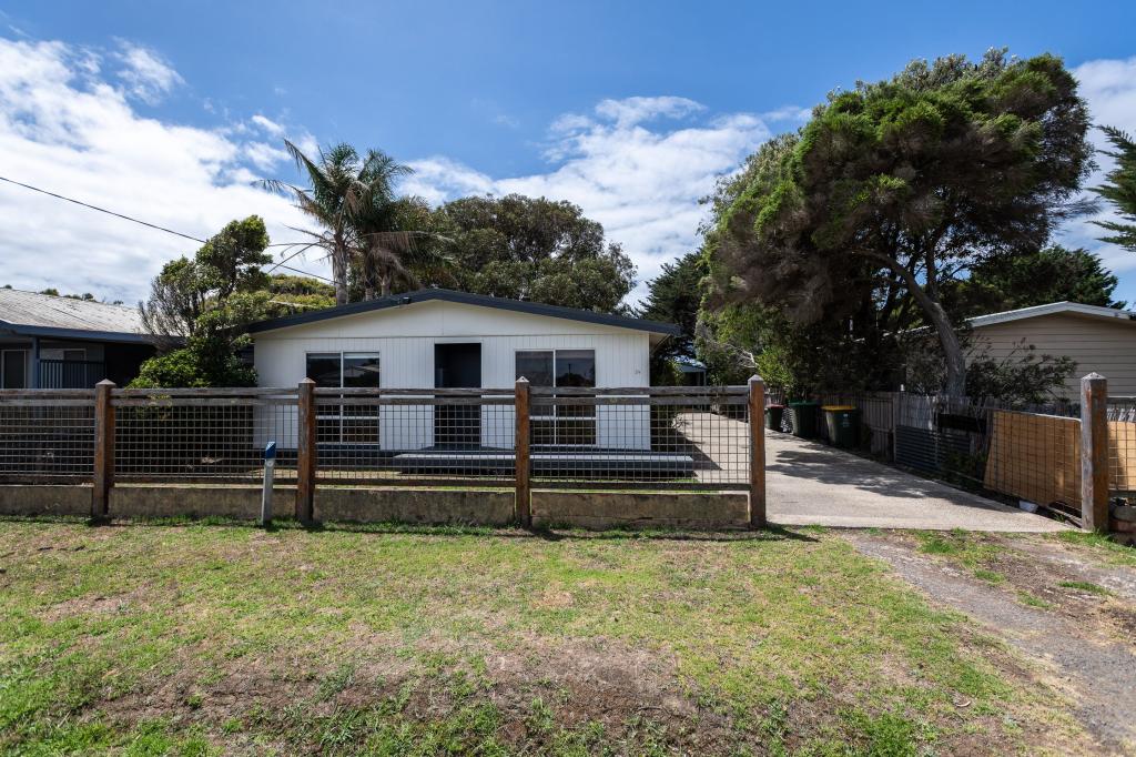
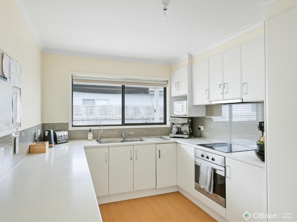
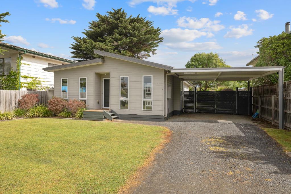
50 Sunderland Bay RoadSunderland Bay VIC 3922
Thinking about insurance?
Get estimated rebuild costs for this property with Sum SureProperty Details for 50 Sunderland Bay Rd, Sunderland Bay
50 Sunderland Bay Rd, Sunderland Bay is a 2 bedroom, bathroom House with 1 parking spaces. The property has a land size of 594m2. While the property is not currently for sale or for rent, it was last sold in July 1980.
Property History for 50 Sunderland Bay Rd, Sunderland Bay, VIC 3922
- 26 Jul 1980Sold for $17,200
Recent sales nearby
See more recent sales nearbySimilar properties For Sale nearby
See more properties for sale nearbySimilar properties For Rent nearby
See more properties for rent nearbyAbout Sunderland Bay 3922
The size of Sunderland Bay is approximately 1.2 square kilometres. It has 1 park covering nearly 6.5% of total area. The population of Sunderland Bay in 2011 was 696 people. By 2016 the population was 231 showing a population decline of 66.8% in the area during that time. The predominant age group in Sunderland Bay is 0-9 years. Households in Sunderland Bay are primarily couples with children and are likely to be repaying $1000 - $1399 per month on mortgage repayments. In general, people in Sunderland Bay work in a professional occupation. In 2011, 71.9% of the homes in Sunderland Bay were owner-occupied compared with 77.4% in 2016.
Sunderland Bay has 349 properties. Over the last 5 years, Houses in Sunderland Bay have seen a 41.43% increase in median value. As at 28 February 2025:
- The median value for Houses in Sunderland Bay is $730,958 while the median value for Units is $681,776.
- Houses have a median rent of $470.
What's around 50 Sunderland Bay Rd, Sunderland Bay
50 Sunderland Bay Rd, Sunderland Bay is in the school catchment zone for Newhaven Primary School.
Suburb Insights for Sunderland Bay 3922
Market Insights
Sunderland Bay Trends for Houses
N/A
N/A
View TrendN/A
N/A
Sunderland Bay Trends for Units
N/A
N/A
View TrendN/A
N/A
Neighbourhood Insights
Age
Population 231
0-9
19%
10-19
11%
20-29
6%
30-39
18%
40-49
12%
50-59
14%
60-69
12%
70-79
5%
80-89
2%


