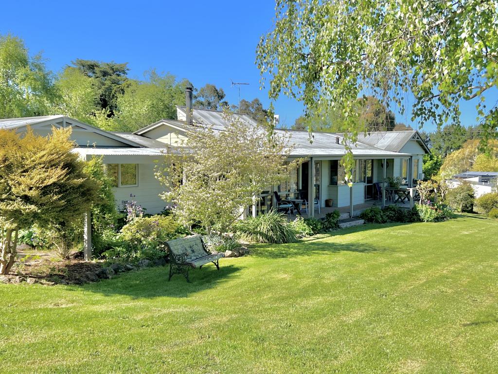
14 Robertson DriveNewham VIC 3442
Property Details for 14 Robertson Dr, Newham
14 Robertson Dr, Newham is a 3 bedroom, 1 bathroom House with 2 parking spaces and was built in 1980. The property has a land size of 6280m2 and floor size of 125m2. While the property is not currently for sale or for rent, it was last sold in August 2017.
Last Listing description (July 2022)
This family home is located a short drive to Woodend and has easy access to the freeway.
It comprises of the following
Modern kitchen with living/dining area and sliding doors to outside plus split system, 4 burner electric cooktop and electric oven, Bosch dishwasher. Separate carpeted living area with wood heater and another split system, 3 carpeted bedrooms 2 have built in robes. Central bathroom with shower and small bath, separate toilet off the laundry. Laundry can facilitate a front or top loader washing machine and has access to undercover outside area idea for entertaining. Hallway storage.
The property is on septic. Plenty of driveway off street parking.
NBN connected.
12 month lease
Property History for 14 Robertson Dr, Newham, VIC 3442
- 16 Jun 2022Listed for Rent - Price not available
- 15 Aug 2017Sold for $580,000
- 17 Feb 2017Listed for Sale $625,000
Commute Calculator
Recent sales nearby
See more recent sales nearbyAbout Newham 3442
The size of Newham is approximately 49 square kilometres. It has 1 park. The population of Newham in 2011 was 524 people. By 2016 the population was 504 showing a population decline of 3.8% in the area during that time. The predominant age group in Newham is 60-69 years. Households in Newham are primarily childless couples and are likely to be repaying $1800 - $2399 per month on mortgage repayments. In general, people in Newham work in a professional occupation. In 2011, 89.2% of the homes in Newham were owner-occupied compared with 92.8% in 2016.
Newham has 272 properties. Over the last 5 years, Houses in Newham have seen a 45.11% increase in median value, while Units have seen a 60.10% increase. As at 30 September 2024:
- The median value for Houses in Newham is $1,279,901 while the median value for Units is $645,057.
Suburb Insights for Newham 3442
Market Insights
Newham Trends for Houses
N/A
N/A
View TrendN/A
N/A
Newham Trends for Units
N/A
N/A
View TrendN/A
N/A
Neighbourhood Insights
© Copyright 2024 RP Data Pty Ltd trading as CoreLogic Asia Pacific (CoreLogic). All rights reserved.


 0
0

 0
0 0
0
 0
0

