Corries LaneMount Egerton VIC 3352
Property Details for Lot 13 Corries Lane, Mount Egerton
Last Listing description (November 2016)
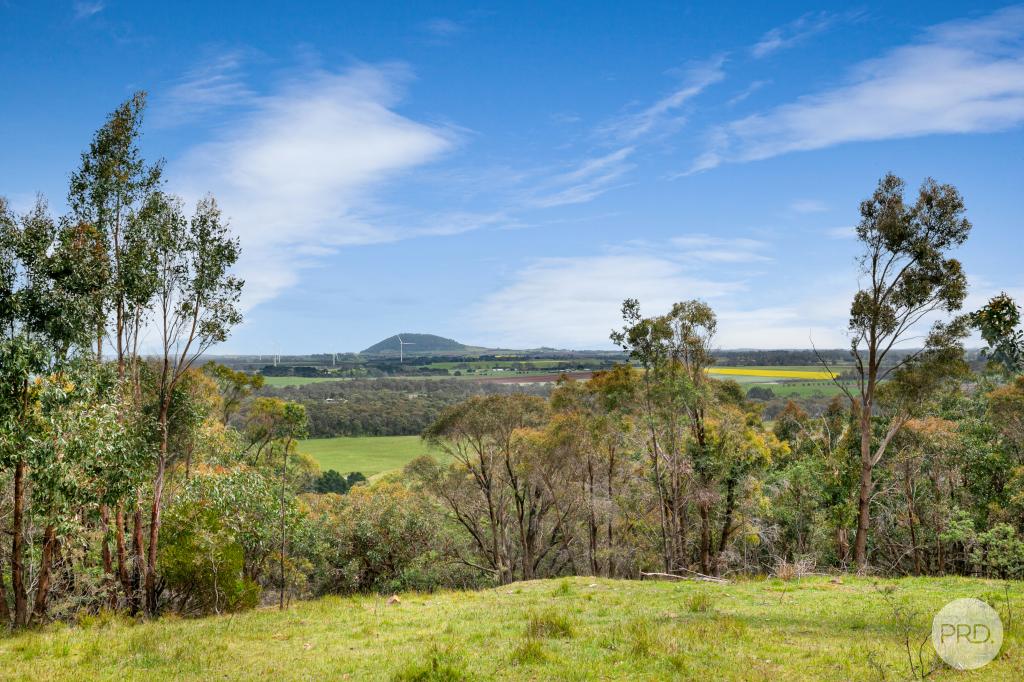
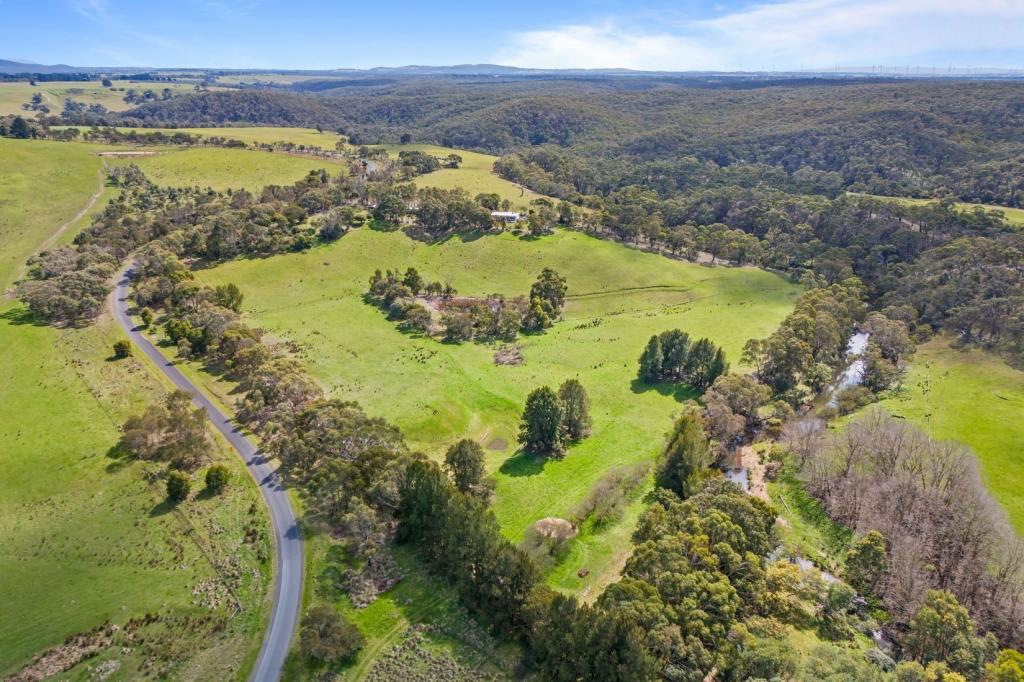
Positioned in Corries Lane, just off the Meredith-Mount Egerton Road, is this beautiful allotment comprises of approx. 20 acres. Zoned Farming under the Moorabool Shire Planning Scheme (council no. 162600), this block offers mostly flat ground with slight undulation and a meandering winter creek feeding a good catchment dam which provides year round water for your livestock.
The allotment has an approx. frontage of 226 metres with a depth of approx. 370 metres and measures approx. 8 hectares or 80,000m2. The property features old sheep yards, one large open paddock with a new front farm fence being erected in the near future.
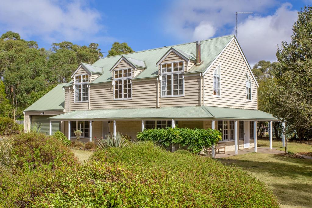
Subject to council approval, the land offers many ideal home sites with a North facing aspect to enjoy the magnificent rural views. Location wise, the property is approx. 60 minutes from Geelong, 75 minutes from Melbourne, 25 minutes to Ballarat and just 10 minutes to the Ballan Train Station.
Property History for Lot 13 Corries Lane, Mount Egerton, VIC 3352
- 08 Sep 2016Listed for Sale $239,500
Commute Calculator
Recent sales nearby
See more recent sales nearbyAbout Mount Egerton 3352
The size of Mount Egerton is approximately 53.1 square kilometres. It has 1 park covering nearly 1.5% of total area. The population of Mount Egerton in 2011 was 548 people. By 2016 the population was 567 showing a population growth of 3.5% in the area during that time. The predominant age group in Mount Egerton is 40-49 years. Households in Mount Egerton are primarily couples with children and are likely to be repaying $1800 - $2399 per month on mortgage repayments. In general, people in Mount Egerton work in a professional occupation. In 2011, 87.4% of the homes in Mount Egerton were owner-occupied compared with 88.2% in 2016.
Mount Egerton has 433 properties. Over the last 5 years, Houses in Mount Egerton have seen a 76.99% increase in median value, while Units have seen a -32.03% decrease. As at 31 October 2024:
- The median value for Houses in Mount Egerton is $725,537 while the median value for Units is $412,588.
Suburb Insights for Mount Egerton 3352
Market Insights
Mount Egerton Trends for Houses
N/A
N/A
View TrendN/A
N/A
Mount Egerton Trends for Units
N/A
N/A
View TrendN/A
N/A
Neighbourhood Insights
© Copyright 2024 RP Data Pty Ltd trading as CoreLogic Asia Pacific (CoreLogic). All rights reserved.

 0
0
 0
0
 0
0