Mt Doran-Egerton RoadMount Doran VIC 3334
Property Details for Mt Doran-Egerton Rd, Mount Doran
Last Listing description (October 2016)
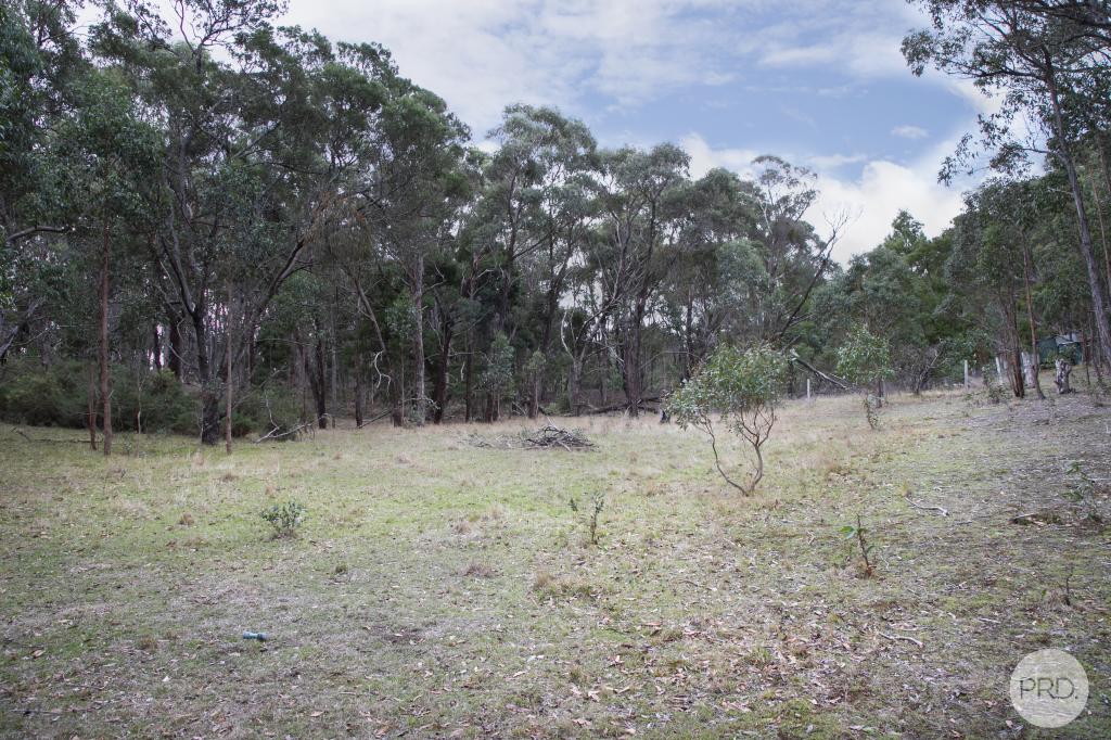
This secluded 8HA (20 acres) would make the ideal weekender or camping escape away from the rush of the city. The land is Zoned Farming (FZ) and is natural bush with a spread of wattle trees as well. It is joined on both sides and at the rear by PCRZ land (Public Conservation & Resource), and a FZ lot at the front. There are no services close by and no planning approvals in place. Escape to nature and enjoy the birdsong and native wildlife.
Directions - From the Midland Hwy travel 4km along Clarendon-Blue Bridge Rd until you get to the blue bridge, continue straight along Mt Doran-Egerton Road for 2.7km, then turn left, following the pointers along a government track where a sign is erected on the front of the property.
Property History for Mt Doran-Egerton Rd, Mount Doran, VIC 3334
- 02 Sep 2016Listed for Sale $70,000
- 27 Nov 2015Sold for $105,000
- 22 Apr 2013Sold for $69,000
Commute Calculator
Recent sales nearby
See more recent sales nearbyAbout Mount Doran 3334
The size of Mount Doran is approximately 6.6 square kilometres. It has 1 park covering nearly 13.5% of total area. The population of Mount Doran in 2011 was 600 people. By 2016 the population was 122 showing a population decline of 79.7% in the area during that time. The predominant age group in Mount Doran is 50-59 years. Households in Mount Doran are primarily childless couples and are likely to be repaying $1800 - $2399 per month on mortgage repayments. In general, people in Mount Doran work in a managers occupation. In 2011, 94.5% of the homes in Mount Doran were owner-occupied compared with 91.5% in 2016..
Mount Doran has 73 properties. Over the last 5 years, Houses in Mount Doran have seen a 66.46% increase in median value, while Units have seen a -56.07% decrease. As at 31 October 2024:
- The median value for Houses in Mount Doran is $972,216 while the median value for Units is $362,534.
Suburb Insights for Mount Doran 3334
Market Insights
Mount Doran Trends for Houses
N/A
N/A
View TrendN/A
N/A
Mount Doran Trends for Units
N/A
N/A
View TrendN/A
N/A
Neighbourhood Insights
© Copyright 2024 RP Data Pty Ltd trading as CoreLogic Asia Pacific (CoreLogic). All rights reserved.

 0
0 0
0