1954 Mt Buller RoadMerrijig VIC 3723
Property Details for 1954 Mt Buller Rd, Merrijig
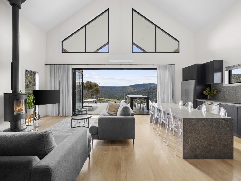
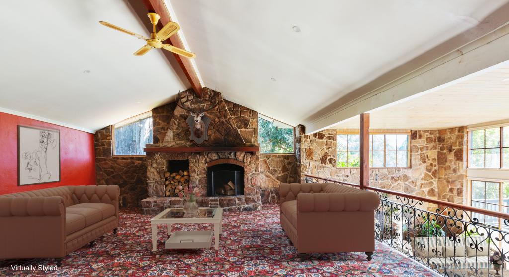
1954 Mt Buller Rd, Merrijig is a 3 bedroom, 1 bathroom House with 2 parking spaces and was built in 1890. The property has a land size of 36322m2 and floor size of 121m2.
Last Listing description (February 2008)
A PIECE OF MERRIJIG'S HISTORY
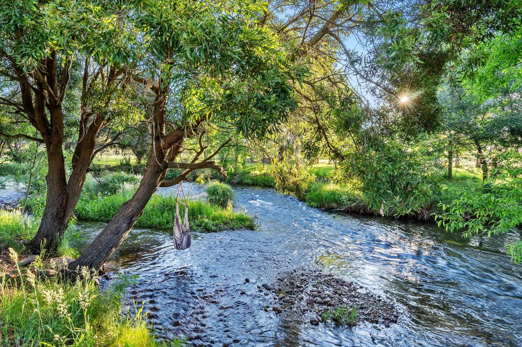
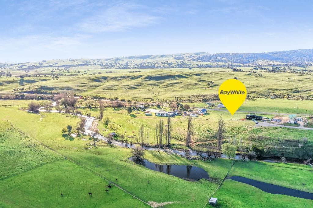
On the banks of Timbertop Creek this charming 100 yr old (approx) Timber Homestead, in need of extensive renovation, is situated on 9.4 acres. The property retains its historical character with majestic old trees including walnut and chestnut standing as testimony to the properties former glory.
Exceptionally well located with sealed road frontage, town water, 17km to Mansfield and only 10 mins (approx) to the Mt Buller Gate.
AUCTION SAT 9th FEB AT 2.00pm
Terms 10 % deposit, balance 65 days
Property History for 1954 Mt Buller Rd, Merrijig, VIC 3723
- 29 Apr 2009Listed for Rent - Price not available
- 23 Jan 2008Listed for Sale $370,000 plus
Commute Calculator
Recent sales nearby
See more recent sales nearbySimilar properties For Sale nearby
See more properties for sale nearbyAbout Merrijig 3723
The size of Merrijig is approximately 157.3 square kilometres. It has 1 park covering nearly 46% of total area. The population of Merrijig in 2011 was 705 people. By 2016 the population was 539 showing a population decline of 23.5% in the area during that time. The predominant age group in Merrijig is 10-19 years. Households in Merrijig are primarily childless couples and are likely to be repaying $1800 - $2399 per month on mortgage repayments. In general, people in Merrijig work in a professional occupation. In 2011, 67.6% of the homes in Merrijig were owner-occupied compared with 73.4% in 2016.
Merrijig has 539 properties. Over the last 5 years, Houses in Merrijig have seen a 90.52% increase in median value, while Units have seen a 106.66% increase. As at 31 October 2024:
- The median value for Houses in Merrijig is $905,746 while the median value for Units is $623,658.
- Houses have a median rent of $500.
Suburb Insights for Merrijig 3723
Market Insights
Merrijig Trends for Houses
N/A
N/A
View TrendN/A
N/A
Merrijig Trends for Units
N/A
N/A
View TrendN/A
N/A
Neighbourhood Insights
© Copyright 2024 RP Data Pty Ltd trading as CoreLogic Asia Pacific (CoreLogic). All rights reserved.


 0
0
 0
0 0
0
 0
0
