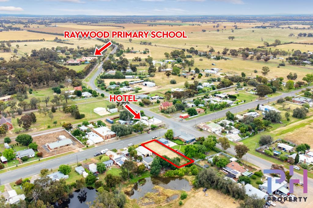
1/2 Elmore-Raywood RoadKamarooka VIC 3570
Property Details for 1/2 Elmore-Raywood Rd, Kamarooka
Last Listing description (May 2020)
This hard to find smaller acreage farmlet with fertile red loams and excellent cropping history has just come onto the market. The one paddock property is nearly all cropable and features a scattering of mature eucalypts, an annual water course, one dam and has sealed road access from Bendigo 35km and Melbourne 186km. It has been sown down to hay oats in May 2019. It is Farming Zone and has the bushy Bendigo National Park as its southern neighbour and another treed reserve along some of its western boundary. This strong central Victorian farming area is suited to mixed farming with excellent proximity to the large regional centre of Bendigo.
Property History for 1/2 Elmore-Raywood Rd, Kamarooka, VIC 3570
- 04 Mar 2019Listed for Sale $185,000
Commute Calculator
Recent sales nearby
See more recent sales nearbyAbout Kamarooka 3570
The size of Kamarooka is approximately 170.5 square kilometres. It has 8 parks covering nearly 83.1% of total area. The population of Kamarooka in 2011 was 301 people. By 2016 the population was 87 showing a population decline of 71.1% in the area during that time. The predominant age group in Kamarooka is 40-49 years. Households in Kamarooka are primarily childless couples and are likely to be repaying $600 - $799 per month on mortgage repayments. In general, people in Kamarooka work in a labourer occupation. In 2011, 76.9% of the homes in Kamarooka were owner-occupied compared with 88.9% in 2016..
Kamarooka has 95 properties. As at 30 November 2024:
- The median value for Houses in Kamarooka is $568,940.
Suburb Insights for Kamarooka 3570
Market Insights
Kamarooka Trends for Houses
N/A
N/A
View TrendN/A
N/A
Kamarooka Trends for Units
N/A
N/A
View TrendN/A
N/A
Neighbourhood Insights
© Copyright 2024 RP Data Pty Ltd trading as CoreLogic Asia Pacific (CoreLogic). All rights reserved.

 0
0/assets/perm/uxyba5empqi63fb66xzff73spy?signature=b31f003a1ba73f7a039a3bf572621292555c2d5319684680874ca2d761962ea3) 0
0

