3 Moore StreetWaratah TAS 7321
Property Details for 3 Moore St, Waratah
Last Listing description (March 2018)
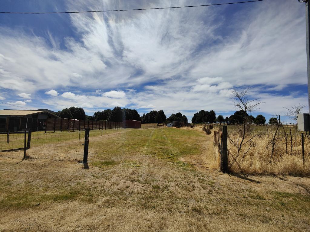
What an opportunity! Approx. 22 Acres, easily accessible, land with great potential for many purposes, unbelievable wilderness valley views and an astounding manmade historical feature for a boundary! Hidden only a few hundred meters off the main road (internal block) out of sight of all neighbours, a small clearing shrouded by a light stand of native trees. These trees sit on the crest of an escarpment where the views over the top of a huge rainforest valley will astound you. The boundary of this property is formed by a century old, manmade water race which captured and gravity fed water to the highly important waterwheels in Waratah Town. Good rainfall, red soils, mainly level block, township life, 45 minutes to Burnie.
Property History for 3 Moore St, Waratah, TAS 7321
- 27 Apr 2015Listed for Sale $80,000
- 16 Feb 2015Listed for Sale $80,000
- 02 Dec 2013Listed for Sale $80,000
Commute Calculator
Recent sales nearby
See more recent sales nearbySimilar properties For Sale nearby
See more properties for sale nearbyAbout Waratah 7321
The size of Waratah is approximately 120.3 square kilometres. It has 4 parks covering nearly 15.3% of total area. The population of Waratah in 2011 was 300 people. By 2016 the population was 235 showing a population decline of 21.7% in the area during that time. The predominant age group in Waratah is 60-69 years. Households in Waratah are primarily childless couples and are likely to be repaying under $300 per month on mortgage repayments. In general, people in Waratah work in a labourer occupation. In 2011, 78.9% of the homes in Waratah were owner-occupied compared with 81.7% in 2016.
Waratah has 429 properties. Over the last 5 years, Houses in Waratah have seen a 83.78% increase in median value, while Units have seen a 204.93% increase. As at 31 October 2024:
- The median value for Houses in Waratah is $249,410 while the median value for Units is $278,194.
Suburb Insights for Waratah 7321
Market Insights
Waratah Trends for Houses
N/A
N/A
View TrendN/A
N/A
Waratah Trends for Units
N/A
N/A
View TrendN/A
N/A
Neighbourhood Insights
© Copyright 2024 RP Data Pty Ltd trading as CoreLogic Asia Pacific (CoreLogic). All rights reserved.

 0
0
 0
0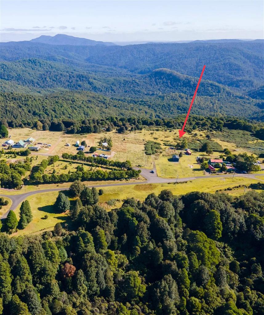 0
0
 0
0
 0
0
 0
0
