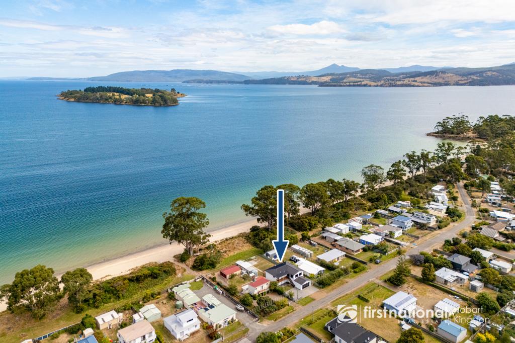
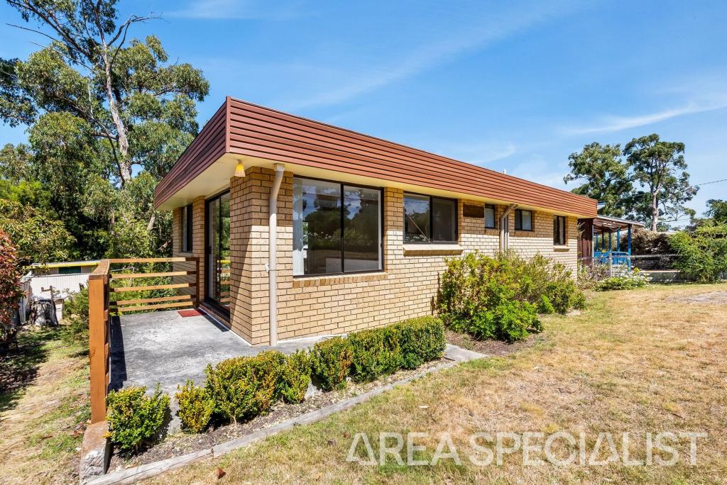
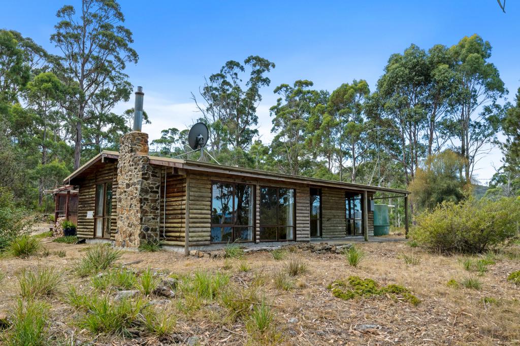
46 Lovering AvenueVerona Sands TAS 7112

Thinking about insurance?
Get estimated rebuild costs for this property with Sum SureProperty Details for 46 Lovering Ave, Verona Sands
46 Lovering Ave, Verona Sands is a bedroom, bathroom House and was built in 1962. The property has a land size of 857m2 and floor size of 128m2. While the property is not currently for sale or for rent, it was last sold in April 2001.
Property History for 46 Lovering Ave, Verona Sands, TAS 7112
- 29 Apr 2001Sold for $50,000
- 07 Mar 1988Sold for $36,500
- 19 Aug 1987Sold for $37,500
Recent sales nearby
See more recent sales nearbySimilar properties For Sale nearby
See more properties for sale nearby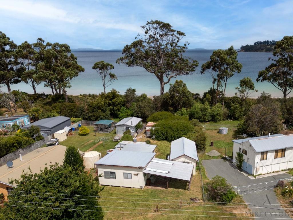


Similar properties For Rent nearby
See more properties for rent nearby
About Verona Sands 7112
The size of Verona Sands is approximately 1.6 square kilometres. The population of Verona Sands in 2011 was 283 people. By 2016 the population was 69 showing a population decline of 75.6% in the area during that time. The predominant age group in Verona Sands is 50-59 years. Households in Verona Sands are primarily childless couples and are likely to be repaying $600 - $799 per month on mortgage repayments. In general, people in Verona Sands work in a clerical occupation. In 2011, 78.5% of the homes in Verona Sands were owner-occupied compared with 77% in 2016.
Verona Sands has 153 properties. Over the last 5 years, Houses in Verona Sands have seen a 64.97% increase in median value. As at 28 February 2025:
- The median value for Houses in Verona Sands is $534,114 while the median value for Units is $484,477.
What's around 46 Lovering Ave, Verona Sands
46 Lovering Ave, Verona Sands is in the school catchment zone for Woodbridge School.


Suburb Insights for Verona Sands 7112
Market Insights
Verona Sands Trends for Houses
$534k
11.31%
View TrendN/A
N/A
Verona Sands Trends for Units
$484k
0.00%
View TrendN/A
3.53%
Neighbourhood Insights
Age
Population 69
10-19
9%
30-39
5%
40-49
18%
50-59
26%
60-69
21%
70-79
10%
Household Structure
Occupancy
© Copyright 2025 RP Data Pty Ltd trading as CoreLogic Asia Pacific (CoreLogic). All rights reserved.
(a) give no warranty regarding the data's accuracy, completeness, currency or suitability for any particular purpose; and
(b) do not accept liability howsoever arising, including but not limited to negligence for any loss resulting from the use of or reliance upon the data.
Base data from the LIST © State of Tasmania http://www.thelist.tas.gov.au.
This product uses cookies and other similar technologies to improve and customise your browsing experience, to tailor content and adverts, and for analytics and metrics regarding visitor usage on this product and other media. We may share cookie and analytics information with third parties for the purposes of advertising. By continuing to use our website, you consent to cookies being used. View our Privacy Policy here.
X