5 Thorne StreetUpper Burnie TAS 7320
Property Details for 5 Thorne St, Upper Burnie
5 Thorne St, Upper Burnie is a 3 bedroom, 1 bathroom House. The property has a land size of 602m2 and floor size of 112m2. While the property is not currently for sale or for rent, it was last sold in December 2024. There are 29 other 3 bedroom Houses sold in Upper Burnie in the last 12 months.
Last Listing description (December 2024)
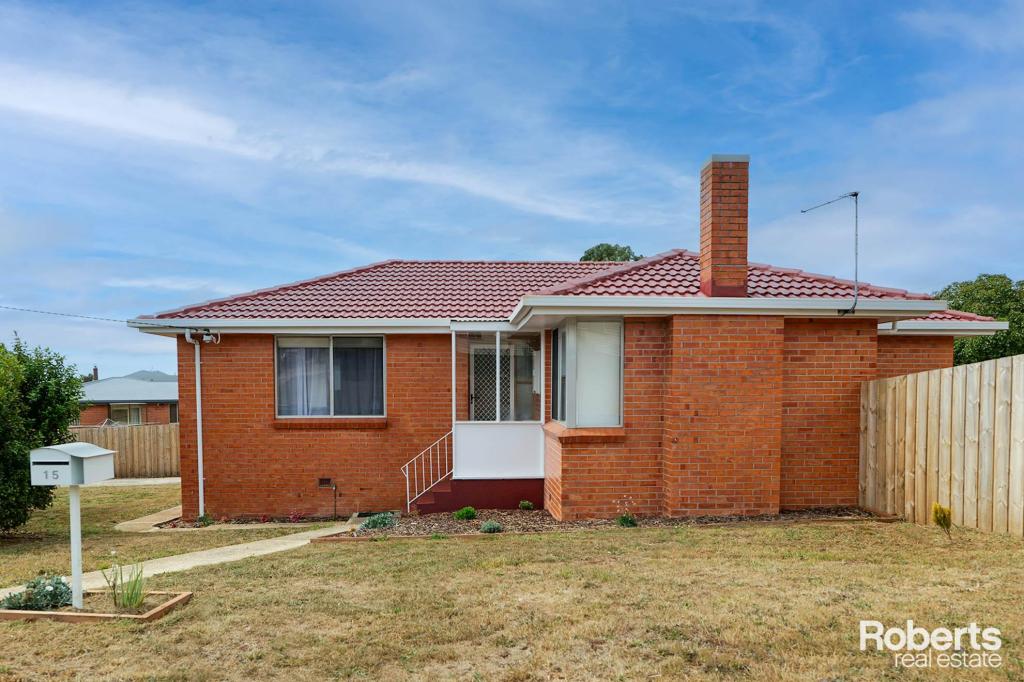
This fantastic example of an affordable brick home in Upper Burnie needs to be considered!
Positioned well, on a large flat block and fully renovated throughout by a highly regarded builder is this amazing home which would suit a first home buyer, investor and downsizer alike!
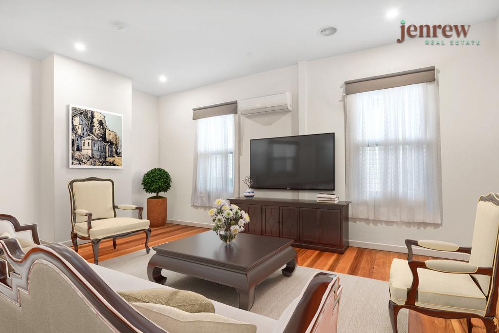
The recently renovated bathroom and kitchen steal the show in this home, this with the benefits of new flooring and painted throughout.
Three spacious bedrooms with built in robes and a large bright north facing living area set this house apart.
The large backyard is the perfect position for a big shed or for the kids and pets to run around under a watchful eye.
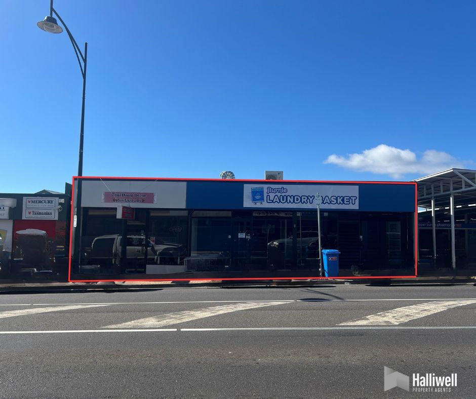
Practically positioned between schools, shops and playgrounds making this area a highly sought-after location.
Homes in this price bracket are not lasting long, for more information or to register your interest please contact the listing agent Kurt Knowles today!
Disclaimer:
While Harcourts Ulverstone & Penguin has taken every care to verify the accuracy of the details in this advertisement, we cannot guarantee its correctness. Prospective buyers need to take such action as is necessary, to satisfy themselves of any pertinent matters.
Property History for 5 Thorne St, Upper Burnie, TAS 7320
- 26 Nov 2024Sold for $422,222
- 22 Nov 2024Listed for Sale $375,000-$400,000
- 29 Jul 2024Sold for $310,000
Recent sales nearby
See more recent sales nearbySimilar properties For Sale nearby
See more properties for sale nearby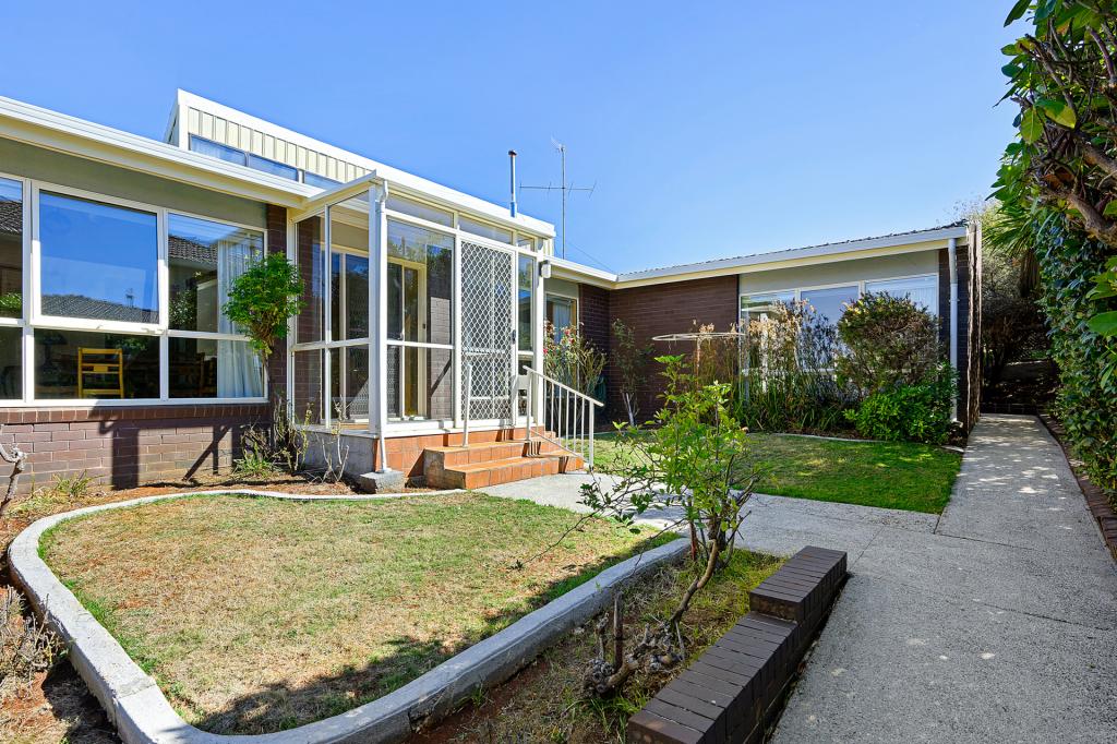

Similar properties For Rent nearby
See more properties for rent nearby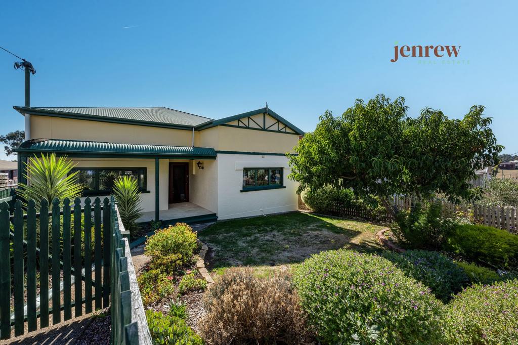
About Upper Burnie 7320
The size of Upper Burnie is approximately 1.2 square kilometres. It has 1 park covering nearly 6.9% of total area. The population of Upper Burnie in 2011 was 1,759 people. By 2016 the population was 1,822 showing a population growth of 3.6% in the area during that time. The predominant age group in Upper Burnie is 60-69 years. Households in Upper Burnie are primarily childless couples and are likely to be repaying $1000 - $1399 per month on mortgage repayments. In general, people in Upper Burnie work in a trades occupation. In 2011, 62.7% of the homes in Upper Burnie were owner-occupied compared with 56.7% in 2016.
Upper Burnie has 980 properties. Over the last 5 years, Houses in Upper Burnie have seen a 81.36% increase in median value, while Units have seen a 65.72% increase. As at 28 February 2025:
- The median value for Houses in Upper Burnie is $398,264 while the median value for Units is $337,389.
- Houses have a median rent of $415 while Units have a median rent of $320.
What's around 5 Thorne St, Upper Burnie


Suburb Insights for Upper Burnie 7320
Market Insights
Upper Burnie Trends for Houses
$398k
8.97%
View Trend$415/W
5.51%
Upper Burnie Trends for Units
$337k
5.00%
View Trend$320/W
5.29%
Neighbourhood Insights
Age
Population 1,822
0-9
12%
10-19
11%
20-29
12%
30-39
11%
40-49
11%
50-59
13%
60-69
14%
70-79
11%
80-89
5%
Household Structure
Occupancy
© Copyright 2025 RP Data Pty Ltd trading as CoreLogic Asia Pacific (CoreLogic). All rights reserved.
(a) give no warranty regarding the data's accuracy, completeness, currency or suitability for any particular purpose; and
(b) do not accept liability howsoever arising, including but not limited to negligence for any loss resulting from the use of or reliance upon the data.
Base data from the LIST © State of Tasmania http://www.thelist.tas.gov.au.
This product uses cookies and other similar technologies to improve and customise your browsing experience, to tailor content and adverts, and for analytics and metrics regarding visitor usage on this product and other media. We may share cookie and analytics information with third parties for the purposes of advertising. By continuing to use our website, you consent to cookies being used. View our Privacy Policy here.
X