47 Tugrah RoadTugrah TAS 7310

Thinking about insurance?
Get estimated rebuild costs for this property with Sum SureProperty Details for 47 Tugrah Rd, Tugrah
47 Tugrah Rd, Tugrah is a 3 bedroom, 2 bathroom House with 2 parking spaces and was built in 1988. The property has a land size of 2674m2 and floor size of 194m2. While the property is not currently for sale or for rent, it was last sold in February 2011.
Last Listing description (May 2011)
Family Home With An Entertaining Edge!
Situated in the desirable, ever growing suburb of Tugrah located only 10 minutes to Devonport's CBD is this stunning family home with direct access to the Kelcey Tier Reserve. The only problem when entertaining is whether to use the formal dining, the verandah or the BBQ area with a good sized deck. When you have finished cooking in the kitchen that features solid granite bench tops and quality appliances, you can relax in either of the two living areas with an open fire place in the formal lounge being perfect to take the chill off the air on those chilly nights. The master suite features his and her walk in robes and a well appointed ensuite, both of the two double bedrooms feature large built-ins. With all this, location on approximately 2674m2 of landscaped gardens this home is the perfect family home. With all the hard work done you had better be quick!
Property History for 47 Tugrah Rd, Tugrah, TAS 7310
- 20 May 2011Listed for Sale OFFERS OVER $369,000
- 01 Feb 2011Sold for $375,000
- 18 Feb 2010Listed for Sale OFFERS OVER $369,000
Recent sales nearby
See more recent sales nearbySimilar properties For Sale nearby
See more properties for sale nearby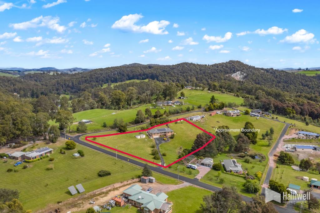
Similar properties For Rent nearby
See more properties for rent nearby
About Tugrah 7310
The size of Tugrah is approximately 5.3 square kilometres. It has 1 park covering nearly 0.1% of total area. The population of Tugrah in 2011 was 196 people. By 2016 the population was 374 showing a population growth of 90.8% in the area during that time. The predominant age group in Tugrah is 40-49 years. Households in Tugrah are primarily couples with children and are likely to be repaying $1800 - $2399 per month on mortgage repayments. In general, people in Tugrah work in a trades occupation. In 2011, 92.9% of the homes in Tugrah were owner-occupied compared with 86.2% in 2016.
Tugrah has 245 properties. Over the last 5 years, Houses in Tugrah have seen a 55.08% increase in median value, while Units have seen a 64.44% increase. As at 28 February 2025:
- The median value for Houses in Tugrah is $765,758 while the median value for Units is $464,201.
What's around 47 Tugrah Rd, Tugrah
47 Tugrah Rd, Tugrah is in the school catchment zone for Hillcrest Primary School.


Suburb Insights for Tugrah 7310
Market Insights
Tugrah Trends for Houses
$766k
6.09%
View TrendN/A
N/A
Tugrah Trends for Units
$464k
10.70%
View TrendN/A
4.78%
Neighbourhood Insights
Age
Population 374
0-9
15%
10-19
17%
20-29
8%
30-39
12%
40-49
18%
50-59
15%
60-69
11%
70-79
5%
80-89
1%
Household Structure
Occupancy
© Copyright 2025 RP Data Pty Ltd trading as CoreLogic Asia Pacific (CoreLogic). All rights reserved.
(a) give no warranty regarding the data's accuracy, completeness, currency or suitability for any particular purpose; and
(b) do not accept liability howsoever arising, including but not limited to negligence for any loss resulting from the use of or reliance upon the data.
Base data from the LIST © State of Tasmania http://www.thelist.tas.gov.au.
This product uses cookies and other similar technologies to improve and customise your browsing experience, to tailor content and adverts, and for analytics and metrics regarding visitor usage on this product and other media. We may share cookie and analytics information with third parties for the purposes of advertising. By continuing to use our website, you consent to cookies being used. View our Privacy Policy here.
X