123 Lawrence Vale RoadSouth Launceston TAS 7249
Property Details for 123 Lawrence Vale Rd, South Launceston
Last Listing description (May 2019)
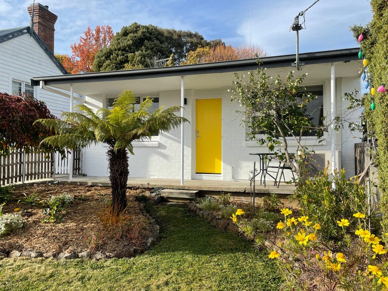
The property is strategically positioned on the very busy intersection of Hobart Rd, Wellington St, Meredith Cres and Normanstone Road and boasts extensive daily traffic movements. Features new roof and guttering plus new paint externally.
The title displays a footprint of approx. 380m2 and inclusive of a private and sunny rear yard area consisting of approx. 75m2.
The property is currently the home of the well known KT Electronics business who have occupied the site for many years now and also incorporates Launcestons Dyson Service Centre.
Both the long term loyal tenants have indicated their willingness to stay on although vacant possession is possible with the provision of 6 months written notice to vacate, happy to discuss further.
Contact the agent for detail.
Property History for 123 Lawrence Vale Rd, South Launceston, TAS 7249
- 07 Jan 2020Sold for $340,000
- 20 Feb 2019Listed for Sale $350,000 Plus GST if applicable
- 19 Oct 2011Sold for $215,000
Recent sales nearby
See more recent sales nearbySimilar properties For Sale nearby
See more properties for sale nearby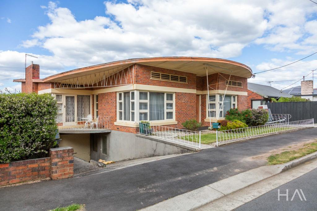
Similar properties For Rent nearby
See more properties for rent nearby

About South Launceston 7249
The size of South Launceston is approximately 2.8 square kilometres. It has 8 parks covering nearly 5.4% of total area. The population of South Launceston in 2011 was 4,447 people. By 2016 the population was 4,589 showing a population growth of 3.2% in the area during that time. The predominant age group in South Launceston is 20-29 years. Households in South Launceston are primarily childless couples and are likely to be repaying $1000 - $1399 per month on mortgage repayments. In general, people in South Launceston work in a professional occupation. In 2011, 54.1% of the homes in South Launceston were owner-occupied compared with 52.6% in 2016.
South Launceston has 2,428 properties. Over the last 5 years, Houses in South Launceston have seen a 48.97% increase in median value, while Units have seen a 58.00% increase. As at 28 February 2025:
- The median value for Houses in South Launceston is $531,380 while the median value for Units is $410,379.
- Houses have a median rent of $480 while Units have a median rent of $420.
What's around 123 Lawrence Vale Rd, South Launceston
123 Lawrence Vale Rd, South Launceston is in the school catchment zone for East Launceston Primary School.


Suburb Insights for South Launceston 7249
Market Insights
South Launceston Trends for Houses
$531k
1.04%
View Trend$480/W
4.85%
South Launceston Trends for Units
$410k
-2.97%
View Trend$420/W
5.47%
Neighbourhood Insights
Age
Population 4,589
0-9
12%
10-19
11%
20-29
17%
30-39
14%
40-49
13%
50-59
11%
60-69
9%
70-79
7%
80-89
5%
90-99
2%
Household Structure
Occupancy
© Copyright 2025 RP Data Pty Ltd trading as CoreLogic Asia Pacific (CoreLogic). All rights reserved.
(a) give no warranty regarding the data's accuracy, completeness, currency or suitability for any particular purpose; and
(b) do not accept liability howsoever arising, including but not limited to negligence for any loss resulting from the use of or reliance upon the data.
Base data from the LIST © State of Tasmania http://www.thelist.tas.gov.au.
This product uses cookies and other similar technologies to improve and customise your browsing experience, to tailor content and adverts, and for analytics and metrics regarding visitor usage on this product and other media. We may share cookie and analytics information with third parties for the purposes of advertising. By continuing to use our website, you consent to cookies being used. View our Privacy Policy here.
X