33 Sproules RoadSnug TAS 7054
Property Details for 33 Sproules Rd, Snug
Last Listing description (August 2023)
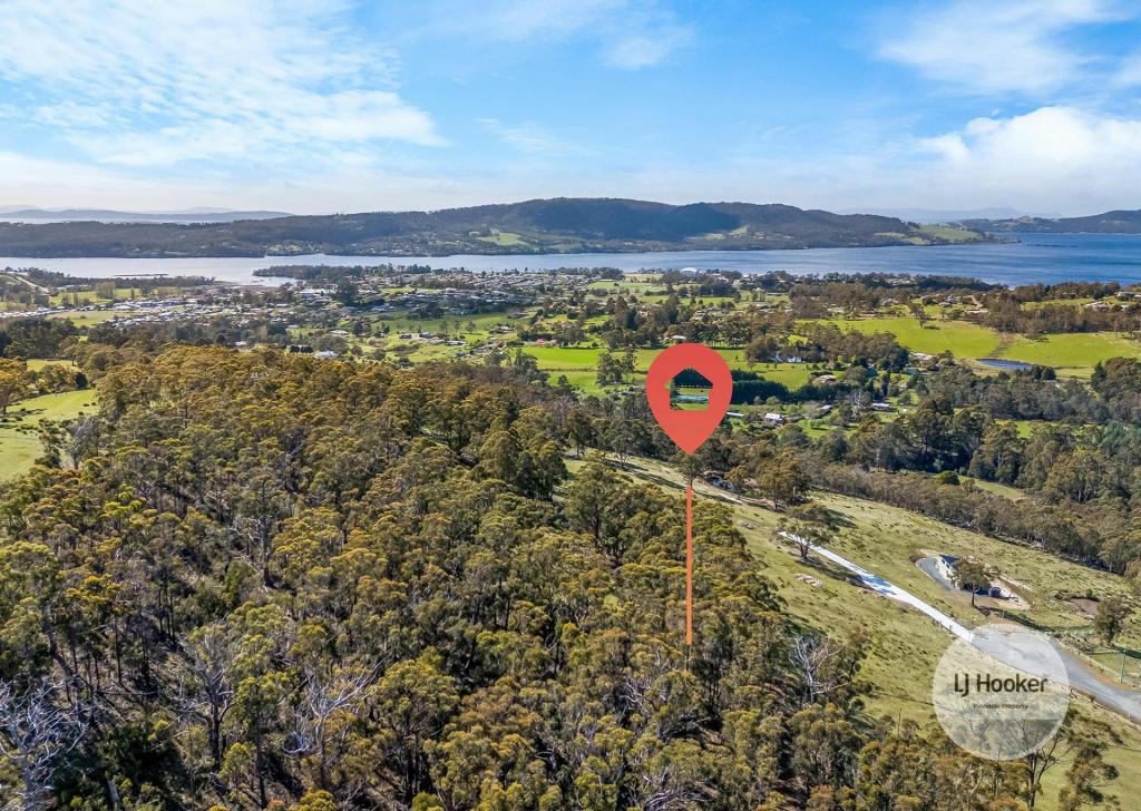
This heavily vegetated block is approx. 3994sqm (nearly 1 acre) and is quite steep. The block is currently zoned 'Environmental Living' and whilst building a house here will be a taxing proposition, it is not without hope. The bottom side boundary borders the Snug Falls River and the top side has ample Snug Tiers Road frontage.
There is a coastal protection zoning overlay as well as biodiversity and landslide hazards, so it certainly isn't for the faint-hearted.
On the positive side, there is little opportunity to purchase your own piece of Tasmania at an affordable price so it may be just what you're after.
The block is situated just past the Sproules Road/Snug Tiers junction on the lower side of the road about 2kms from the Channel Highway.
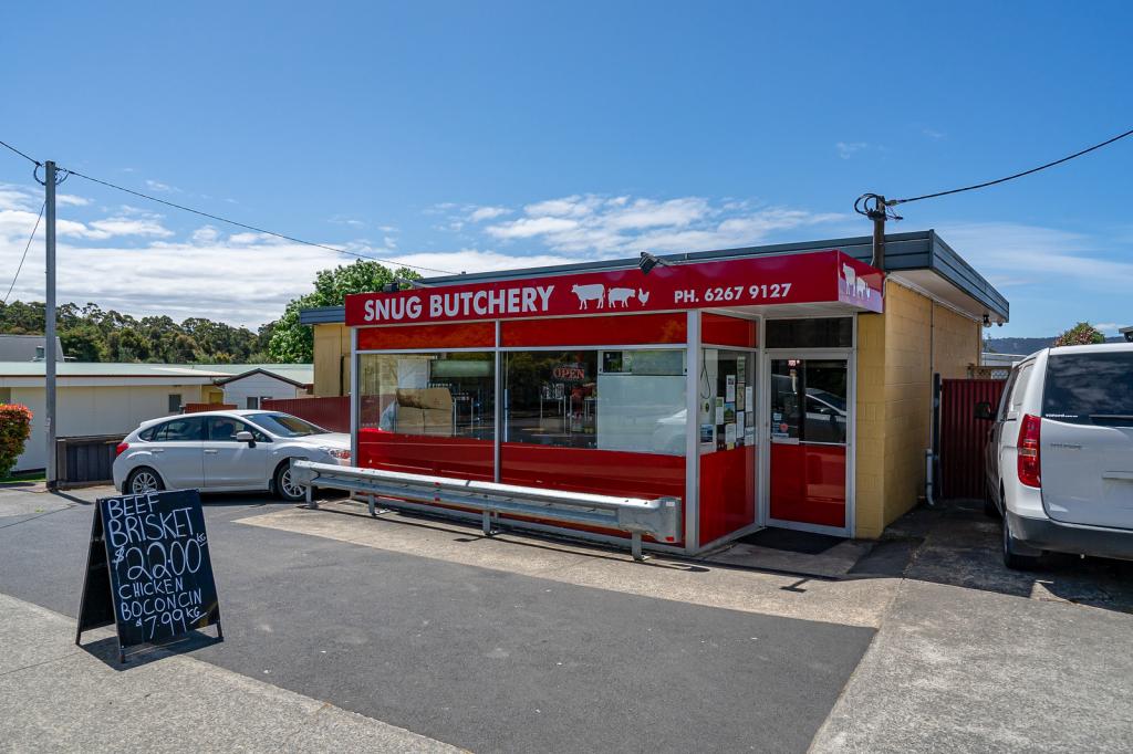
The best spot to park is just past the concrete bridge before ascending up the top of Snug Tiers Road. With the Snug School, IGA Supermarket, Tavern and beach only a few minutes drive away, this block is certainly not too far from all the local conveniences.
Property History for 33 Sproules Rd, Snug, TAS 7054
- 14 Aug 2023Listed for Sale Not Disclosed
- 06 May 2019Listed for Sale Offers Over $59,000
- 31 Dec 1993Sold for $40,000
Commute Calculator
Recent sales nearby
See more recent sales nearbySimilar properties For Sale nearby
See more properties for sale nearbyAbout Snug 7054
The size of Snug is approximately 23.1 square kilometres. It has 1 park covering nearly 45% of total area. The population of Snug in 2011 was 856 people. By 2016 the population was 1,202 showing a population growth of 40.4% in the area during that time. The predominant age group in Snug is 0-9 years. Households in Snug are primarily couples with children and are likely to be repaying $1400 - $1799 per month on mortgage repayments. In general, people in Snug work in a professional occupation. In 2011, 77.9% of the homes in Snug were owner-occupied compared with 72.9% in 2016.
Snug has 540 properties. Over the last 5 years, Houses in Snug have seen a 29.84% increase in median value, while Units have seen a 55.83% increase. As at 31 October 2024:
- The median value for Houses in Snug is $696,859 while the median value for Units is $530,077.
- Houses have a median rent of $520 while Units have a median rent of $300.
Suburb Insights for Snug 7054
Market Insights
Snug Trends for Houses
N/A
N/A
View TrendN/A
N/A
Snug Trends for Units
N/A
N/A
View TrendN/A
N/A
Neighbourhood Insights
© Copyright 2024 RP Data Pty Ltd trading as CoreLogic Asia Pacific (CoreLogic). All rights reserved.

 0
0

 0
0 0
0 0
0
