569 Rifle Range RoadSandford TAS 7020
Property Details for 569 Rifle Range Rd, Sandford
569 Rifle Range Rd, Sandford is a 4 bedroom, 2 bathroom House with 5 parking spaces and was built in 1977. The property has a land size of 20455m2 and floor size of 249m2. While the property is not currently for sale or for rent, it was last sold in September 2018.
Last Listing description (November 2018)
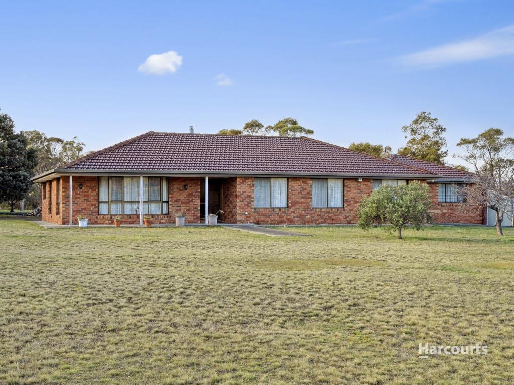
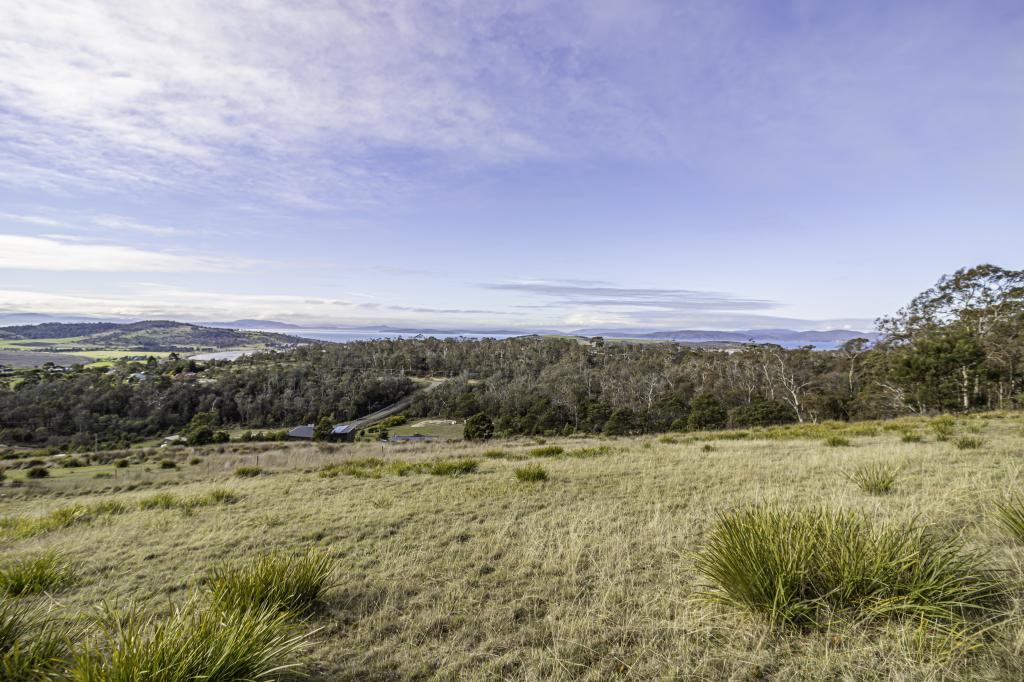
With outstanding water and rural views, this 1977 solid double brick and tile property could be your dream come true, all in a peaceful bush setting, away from the rat race.
Sitting on over 2 hectares (or 5 acres), and accessed by your own long gravel road, leased until mid April 2019 this semi open plan 5 double bedroom home would cater for a larger family.
The laminate kitchen with white cupboards has a double wall oven and a stainless steel splashback alongside original highly-patterned tiles, but most excitingly an enormous potential butler's pantry, which is a whole room in itself!
The two spacious living areas both have access to the covered concrete deck, soaking in the glorious views. Sliding doors can close off the zones if desired.
There's a family bathroom, separate WC and a separate laundry with storage and exterior access.
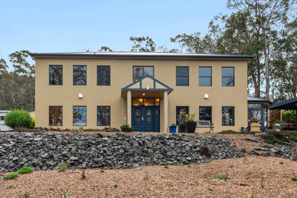
As you wander down the attractive Tas Oak stairway a picture window has been cleverly placed to once again capture those verdant bush vistas.
The modernised tiled entrance hall on this level creates a stylish welcoming foyer which leads left to 2 bedrooms, perhaps making a teenage retreat. The square set plastering creates a modern feel in this zone, which could be continued throughout the home if desired. To the right you have internal access to the garage, with ample workshop/storage space off to the side.
A Daikin reverse-cycle air conditioner, panel heaters, plenty of off-street parking, sensor lights, 4 water tanks, a chook shed, and a yard for kids to explore and build cubbies will delight and impress.
Beach lovers will indeed love the position, being just a short drive from stunning Cremorne, Clifton Beach or South Arm.
Make the tree change and enjoy!
The information contained herein has been supplied to us and we have no reason to doubt its accuracy, however, we cannot guarantee it. Accordingly, all interested parties should make their own enquiries to verify this information.
Property History for 569 Rifle Range Rd, Sandford, TAS 7020
- 11 Sep 2018Sold for $525,000
- 27 Aug 2018Listed for Sale Best offer over $540,000
- 24 Feb 2017Listed for Rent - Price not available
Commute Calculator
Recent sales nearby
See more recent sales nearbySimilar properties For Sale nearby
See more properties for sale nearbyAbout Sandford 7020
The size of Sandford is approximately 49.2 square kilometres. It has 9 parks covering nearly 11.1% of total area. The population of Sandford in 2011 was 1,902 people. By 2016 the population was 1,882 showing a population decline of 1.1% in the area during that time. The predominant age group in Sandford is 50-59 years. Households in Sandford are primarily couples with children and are likely to be repaying $1400 - $1799 per month on mortgage repayments. In general, people in Sandford work in a professional occupation. In 2011, 92% of the homes in Sandford were owner-occupied compared with 92.2% in 2016.
Sandford has 904 properties. Over the last 5 years, Houses in Sandford have seen a 57.65% increase in median value. As at 31 October 2024:
- The median value for Houses in Sandford is $1,059,721 while the median value for Units is $538,157.
- Houses have a median rent of $550.
Suburb Insights for Sandford 7020
Market Insights
Sandford Trends for Houses
N/A
N/A
View TrendN/A
N/A
Sandford Trends for Units
N/A
N/A
View TrendN/A
N/A
Neighbourhood Insights
© Copyright 2024 RP Data Pty Ltd trading as CoreLogic Asia Pacific (CoreLogic). All rights reserved.


 0
0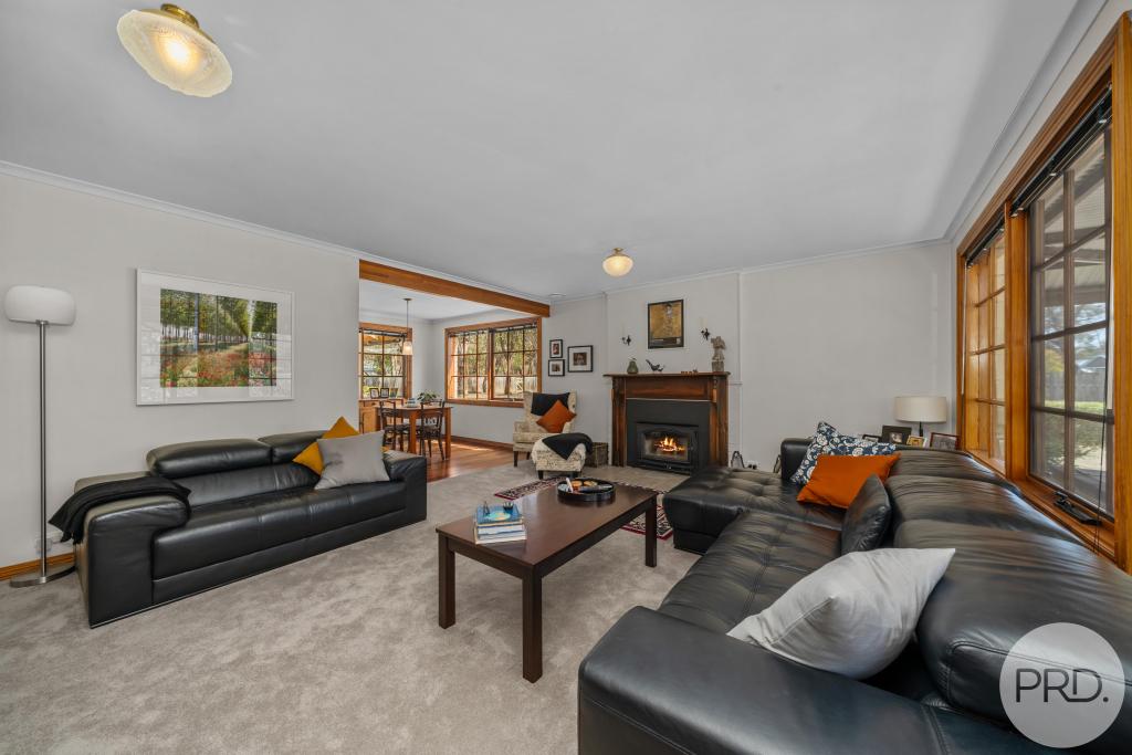 0
0
/assets/perm/rcjwkkpis4i63dfimwr6p3aeyu?signature=384de1351caa2ffca83098dbd47f446d635f10d22864d394043376d42fb734d2) 0
0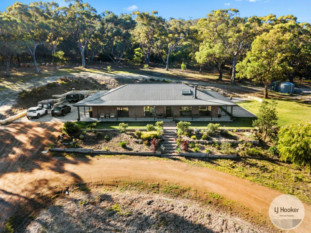 0
0


 0
0
 0
0

