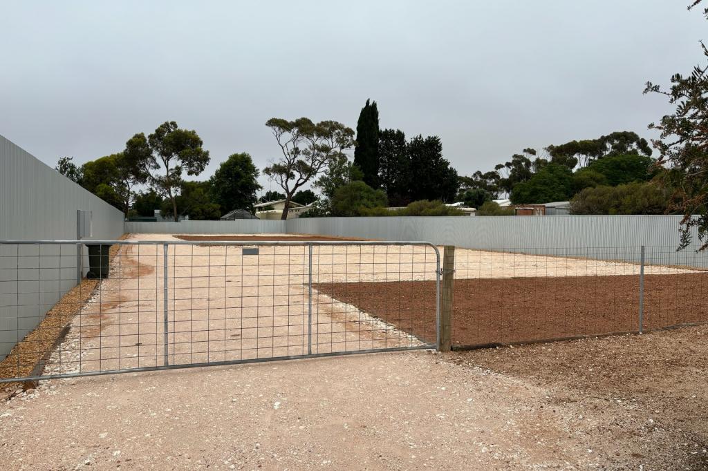
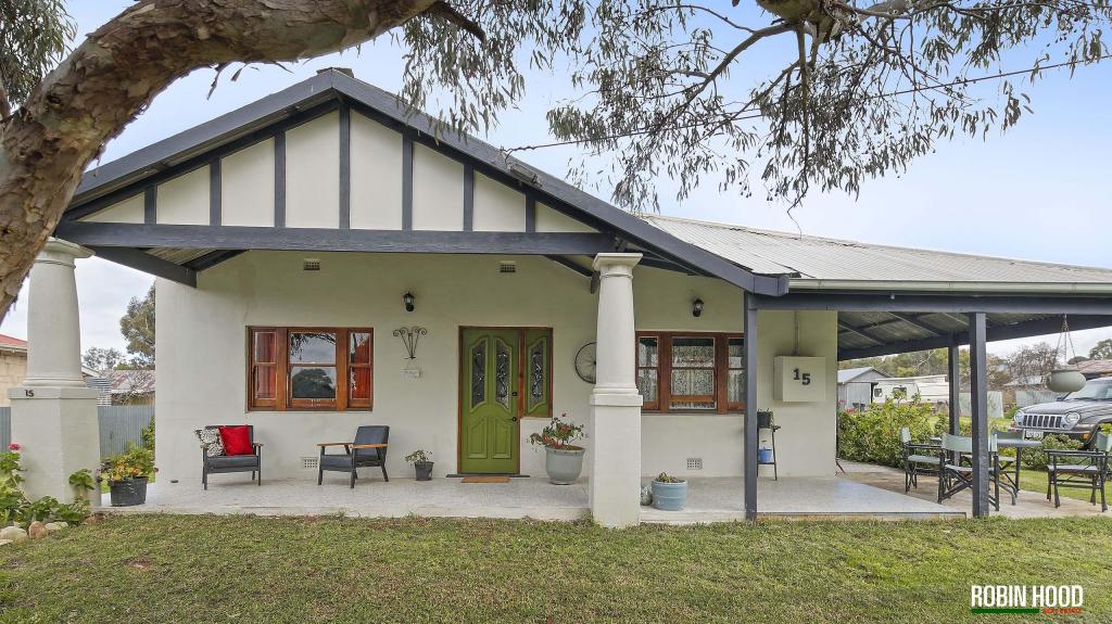
5 Mount Hill RoadUngarra SA 5607
Property Details for 5 Mount Hill Rd, Ungarra
Last Listing description (December 2017)
Located approximately 16 km North of Ungarra at the intersections of Mt Hill-Coomaba road, Mount Hill Road & Papagalla Lane is the 'Old Mt Hill SchoolnThe property consists of approximately 13.37 ha (33 acres) and a wide ranging list of purposes from accommodation and living to sheep grazing. There are two main buildings which are of great size and open to any form of renovation or redesign.
Much of the old school history still remains in and around the property and buildings which have seen a new roof erected and many maintenance improvements carried out. There is full kitchen facilities, toilets.
There is also a Ford 5000 tractor with a three point linkage slasher included in the sale to help keep the grounds tidy. The property is fully fenced and in close proximity to the proposed mining developments.
For a private inspection, please contact David McPharlin on 0408 917 945 from Elders Tumby Bay.
Property History for 5 Mount Hill Rd, Ungarra, SA 5607
- 26 Jun 2015Listed for Sale $99,000
Commute Calculator
Recent sales nearby
See more recent sales nearbySimilar properties For Sale nearby
See more properties for sale nearbyAbout Ungarra 5607
The size of Ungarra is approximately 304.7 square kilometres. It has 1 park covering nearly 0.3% of total area. The population of Ungarra in 2011 was 308 people. By 2016 the population was 169 showing a population decline of 45.1% in the area during that time. The predominant age group in Ungarra is 0-9 years. Households in Ungarra are primarily couples with children and are likely to be repaying under $300 per month on mortgage repayments. In general, people in Ungarra work in a managers occupation. In 2011, 71% of the homes in Ungarra were owner-occupied compared with 68% in 2016..
Ungarra has 152 properties. Over the last 5 years, Houses in Ungarra have seen a 81.56% increase in median value. As at 31 October 2024:
- The median value for Houses in Ungarra is $341,961.
Suburb Insights for Ungarra 5607
Market Insights
Ungarra Trends for Houses
N/A
N/A
View TrendN/A
N/A
Ungarra Trends for Units
N/A
N/A
View TrendN/A
N/A
Neighbourhood Insights
© Copyright 2024 RP Data Pty Ltd trading as CoreLogic Asia Pacific (CoreLogic). All rights reserved.

/assets/perm/sawq5d7uyai6rjkv7h4ftqkmwe?signature=7ff6c6fe2abfadc704ccce86f73add9aa81b52e6d66dc7ae31c3878e0d3edb78) 0
0
/assets/perm/qtrdfvuiqqi6zhawz5p6qrsede?signature=d6ae2107f4ec01bdb465b29e711b3c47c9e0f6e45ecc0113271b8373cdf044f8) 0
0 0
0 0
0
