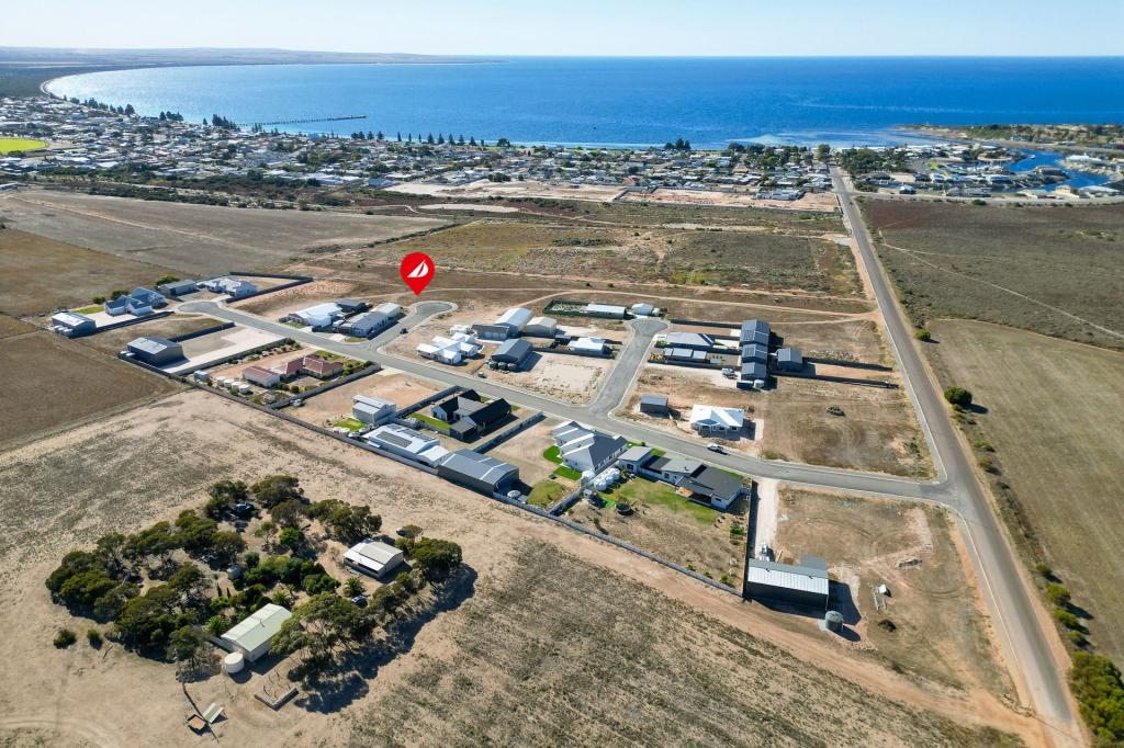
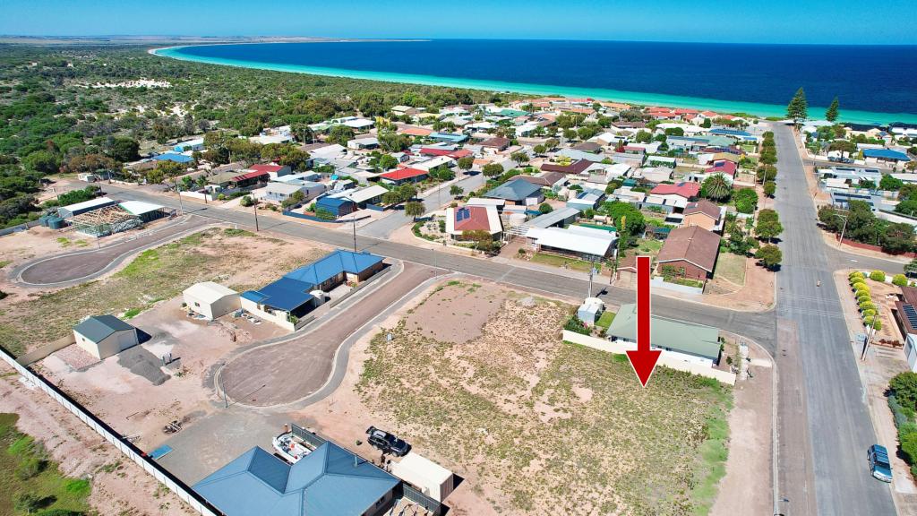
491 Durdins RoadTumby Bay SA 5605
Property Details for 491 Durdins Rd, Tumby Bay
Last Listing description (September 2022)
Located at 491 Durdins Road, approximately 8km west of Tumby Bay on the Lower Eyre Peninsula is 1 freehold title, Allotment comprising of Pieces 9 and 10 Hundred of Hutchison. The property is a total of 391.4 Ha (967.1 acres) with approximately 133.9 Ha (331.0 acres) well cleared and arable. The cropping program is leased to a local farmer on a yearly basis. The property is cropped with mainly cereals that are under minimum tillage practices with modern farming equipment.
The property is mostly cleared of vegetation of undulating to steep hilly red/brown loam with granite outcrops on the hill tops. The cropping areas are red/brown loam's with some buckshot gravels and small granite rocks. Fantastic district views are unmatched from numerous locations across the property. The property overlooks the coastal town of Tumby Bay to the west. Numerous water courses run between the hilly terrain and multiple soaks are located in the natural water courses that serve as reliable watering points for livestock in all paddocks.
The property is fenced into 6 main paddocks with cyclone and mainly wooden post in good to average condition. There is a council water reserve that has a windmill on a bore on the northern boundary of the property in which the vendor has a one third share in. This water is pumped to a poly tank on a hill in the front paddock as a water supply to residences on the Foothills Road rural lifestyle properties.
Other infrastructure includes 2 stand shearing shed with small adjoining workshop/storage garage, steel sheep yards & loading ramp, 20' insulated shipping container used as an office, round shape toilet/shower block and 1 seed silo. A 16 panel solar system is installed on the shearing shed providing reliable off the grid power supply. Two 5,000 gallon (22,750Lt) poly rainwater tanks catch rainfall from the shearing shed for the toilet/shower block and outdoor sink.
Grain delivery is nearby at Tumby Bay silos and main bunker facility (6km east); with major port facilities at Port Lincoln approximately 55 km to the south. Good road access to the property is via well-maintained unsealed roads. The region receives a reliable 350mm (14") annual rainfall and is well serviced by the rural townships of Cummins (38km west) or Tumby Bay with both towns having a choice of agricultural suppliers for inputs and multiple machinery dealers.
This property is a solid mixed farming block ideal for livestock production in the current wool and meat markets in a well established farming district well known for grain production. To arrange a personal inspection and further information contact Darryn Johnston 0428 837 262.
Property History for 491 Durdins Rd, Tumby Bay, SA 5605
- 02 Jun 2023Sold for $1,400,000
- 10 Jun 2022Sold for $875,000
- 11 Jul 2019Listed for Sale $900,000
Commute Calculator
Recent sales nearby
See more recent sales nearbyAbout Tumby Bay 5605
The size of Tumby Bay is approximately 303.8 square kilometres. It has 16 parks covering nearly 0.5% of total area. The population of Tumby Bay in 2011 was 1,826 people. By 2016 the population was 1,622 showing a population decline of 11.2% in the area during that time. The predominant age group in Tumby Bay is 60-69 years. Households in Tumby Bay are primarily childless couples and are likely to be repaying $1000 - $1399 per month on mortgage repayments. In general, people in Tumby Bay work in a managers occupation. In 2011, 69.6% of the homes in Tumby Bay were owner-occupied compared with 74% in 2016.
Tumby Bay has 1,482 properties. Over the last 5 years, Houses in Tumby Bay have seen a 87.47% increase in median value, while Units have seen a 27.61% increase. As at 31 October 2024:
- The median value for Houses in Tumby Bay is $455,142 while the median value for Units is $232,945.
- Houses have a median rent of $415 while Units have a median rent of $205.
Suburb Insights for Tumby Bay 5605
Market Insights
Tumby Bay Trends for Houses
N/A
N/A
View TrendN/A
N/A
Tumby Bay Trends for Units
N/A
N/A
View TrendN/A
N/A
Neighbourhood Insights
© Copyright 2024 RP Data Pty Ltd trading as CoreLogic Asia Pacific (CoreLogic). All rights reserved.

 0
0
 0
0/assets/perm/w3ur4lhchmi6vmcblxvbh4u5ga?signature=a363f59cd7df2483e6ac65b82f940d2eced3f974ce3968e366f604b1142aa2f4) 0
0
