280 Upper Dawson RoadThe Range QLD 4700
Property Details for 280 Upper Dawson Rd, The Range
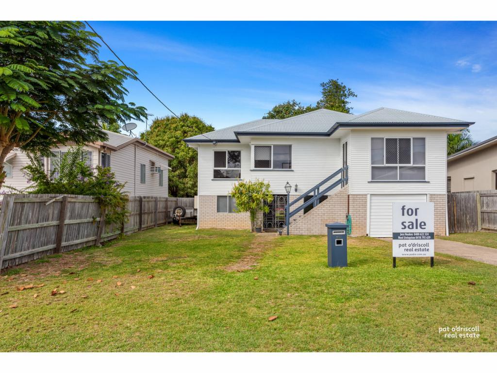
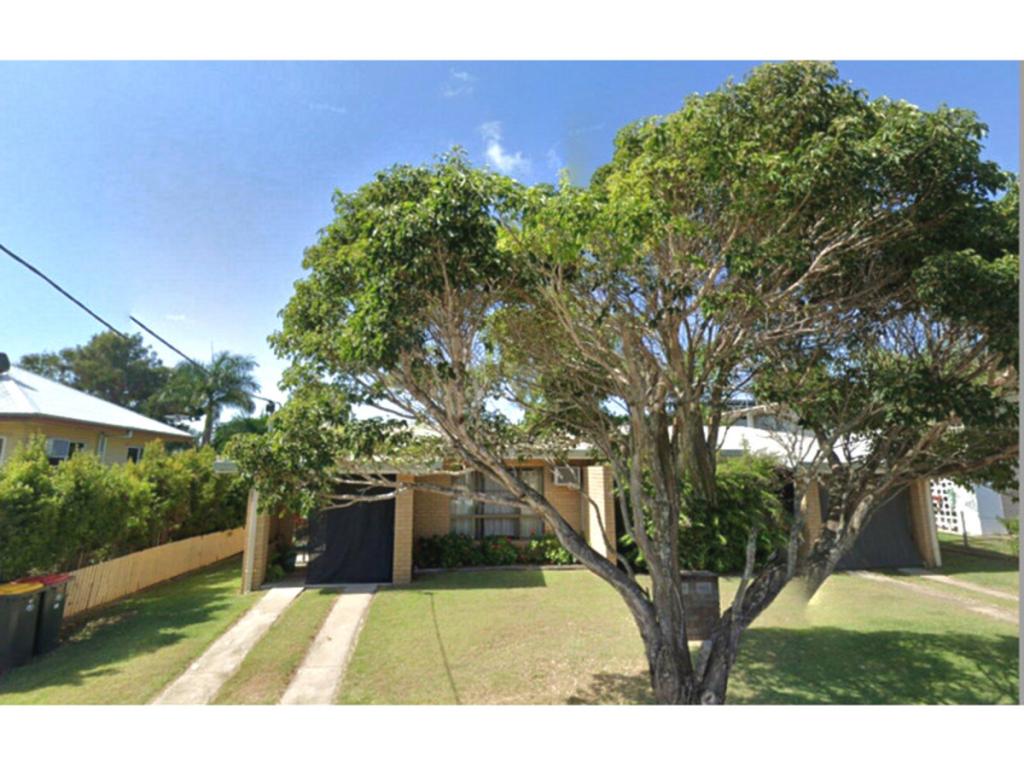
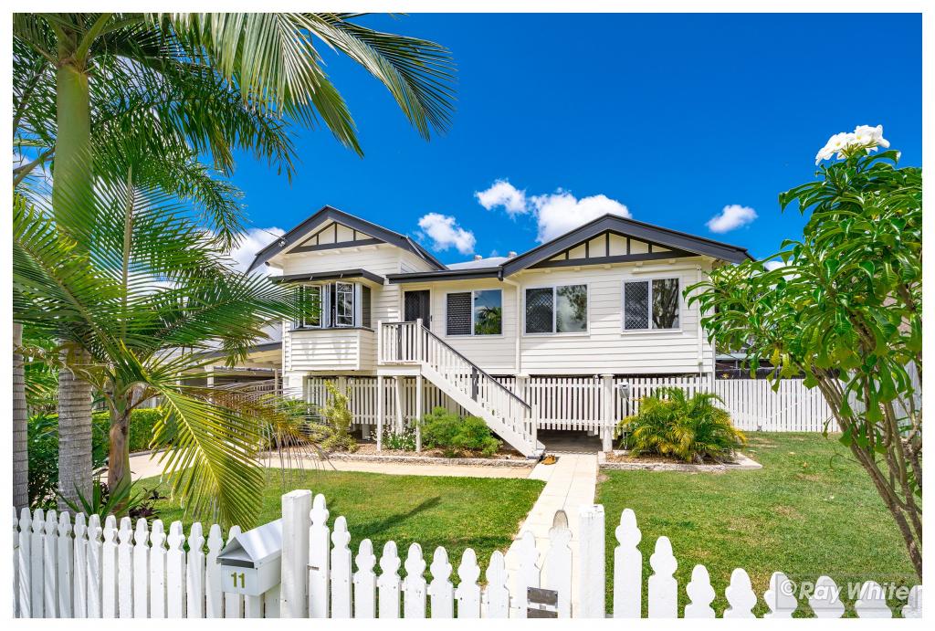
280 Upper Dawson Rd, The Range is a 2 bedroom, 1 bathroom House with 2 parking spaces and was built in 1950. The property has a land size of 809m2 and floor size of 112m2. While the property is not currently for sale or for rent, it was last sold in May 2020.
Last Listing description (July 2020)
This sizeable weatherboard gable is conveniently located on The Range and close to St Peters Primary school, the Mater Hospital, Allenstown shopping precent and the latest addition Aldi's on Gladstone road. The property displays a sunny, airy sunroom at the entrance where you can relax and enjoy your morning coffee.
Additional features are:
* Currently tenanted until the 07/05/2020 & returning $290/week
* 3 bedrooms
* Sunroom
* Spacious lounge room with split system A/C
* Excellent kitchen & work space
* Separate dining area
* Office or study
* Single lock up car accommodation
As usual this gable home is complimented with beautiful timber flooring throughout and high ceilings giving you that feel of space and airiness while allowing you to enjoy the natural breezes all year out. Position on a great sized block with plenty of room for improvements this property is priced to sell.
Property History for 280 Upper Dawson Rd, The Range, QLD 4700
- 06 May 2020Sold for $240,000
- 08 Oct 2019Listed for Sale $249,000
- 06 Oct 2016Listed for Sale $249,000
Commute Calculator
Recent sales nearby
See more recent sales nearbySimilar properties For Sale nearby
See more properties for sale nearbySimilar properties For Rent nearby
See more properties for rent nearbyAbout The Range 4700
The size of The Range is approximately 3.6 square kilometres. It has 8 parks covering nearly 16.2% of total area. The population of The Range in 2011 was 5,369 people. By 2016 the population was 5,394 showing a population growth of 0.5% in the area during that time. The predominant age group in The Range is 10-19 years. Households in The Range are primarily couples with children and are likely to be repaying $1400 - $1799 per month on mortgage repayments. In general, people in The Range work in a professional occupation. In 2011, 67.2% of the homes in The Range were owner-occupied compared with 69% in 2016.
The Range has 2,153 properties. Over the last 5 years, Houses in The Range have seen a 77.80% increase in median value, while Units have seen a 42.48% increase. As at 31 October 2024:
- The median value for Houses in The Range is $540,127 while the median value for Units is $340,968.
- Houses have a median rent of $540 while Units have a median rent of $363.
Suburb Insights for The Range 4700
Market Insights
The Range Trends for Houses
N/A
N/A
View TrendN/A
N/A
The Range Trends for Units
N/A
N/A
View TrendN/A
N/A
Neighbourhood Insights
© Copyright 2024 RP Data Pty Ltd trading as CoreLogic Asia Pacific (CoreLogic). All rights reserved.


 0
0
 0
0
/assets/perm/ettrbo55wii6nmz57u3t7mhtn4?signature=1e462512c77a5d44e2fc53fa2cb4f6c0fe305bbf18ddbf5fff241988c914a124) 0
0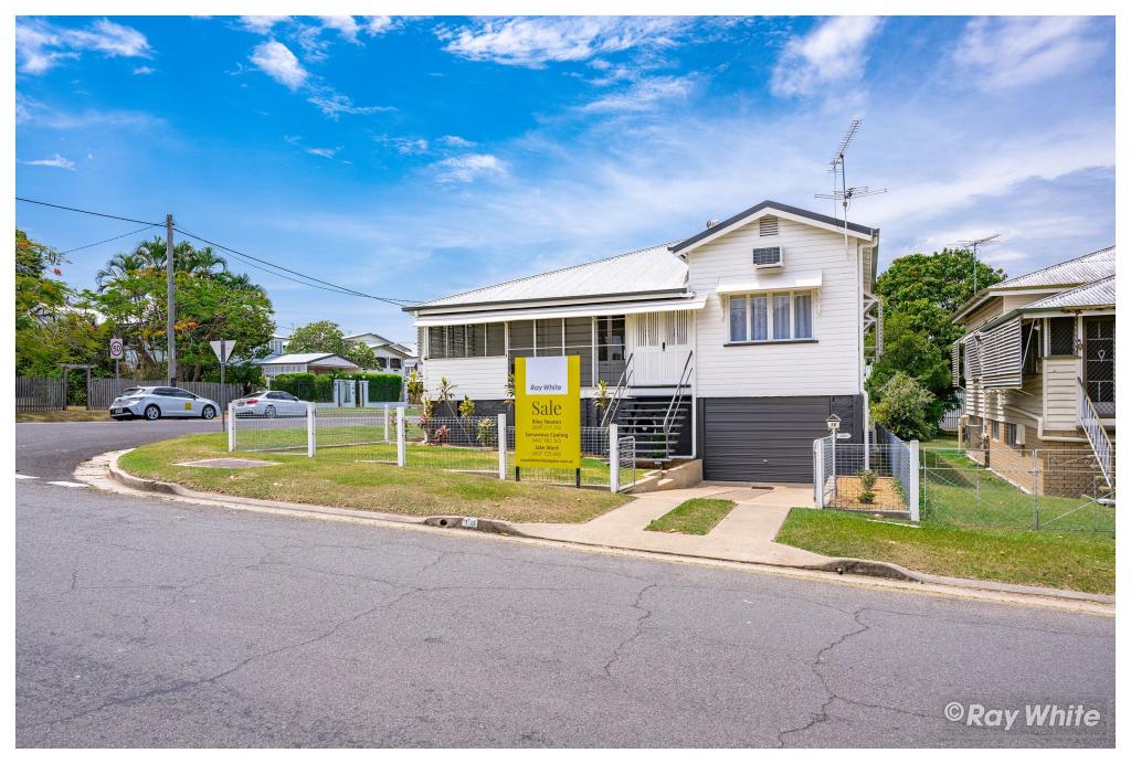 0
0

 0
0
 0
0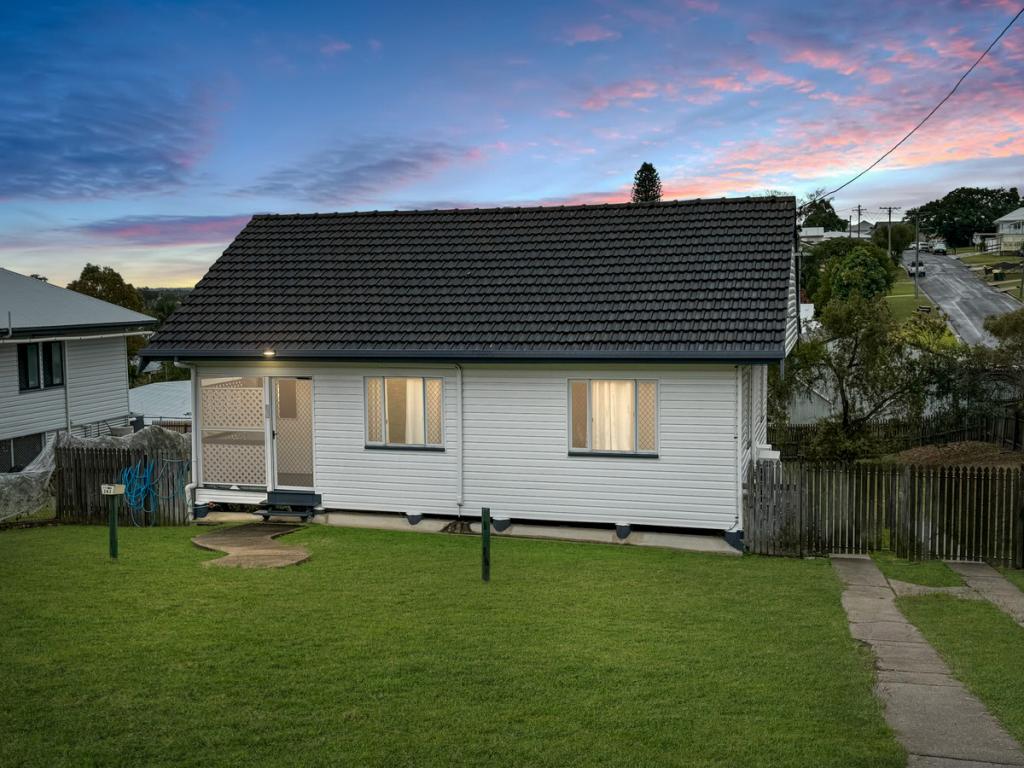 0
0 0
0 0
0
