55 Ellen StreetOxley QLD 4075
Property Details for 55 Ellen St, Oxley
Last Listing description (March 2025)
• Cavity brick block of units/flats consisting of 5 x self contained units and a further 8 guesthouse rooms with communal kitchen & living areas
• 1,239m²* development site
• Zoned Low Medium Density Residential (3 storey) with potential development outcomes including multi res apartments & townhouses, childcare, subdivision, NDIS or social and affordable housing
• Short walking distance to Oxley Train Station
• Short walking distance to local medical centres, pharmacy, Woolworths Oxley (The Station Oxley), local cafes, bakeries, food retailers, gyms
• Situated in the prized Corinda State School catchment area
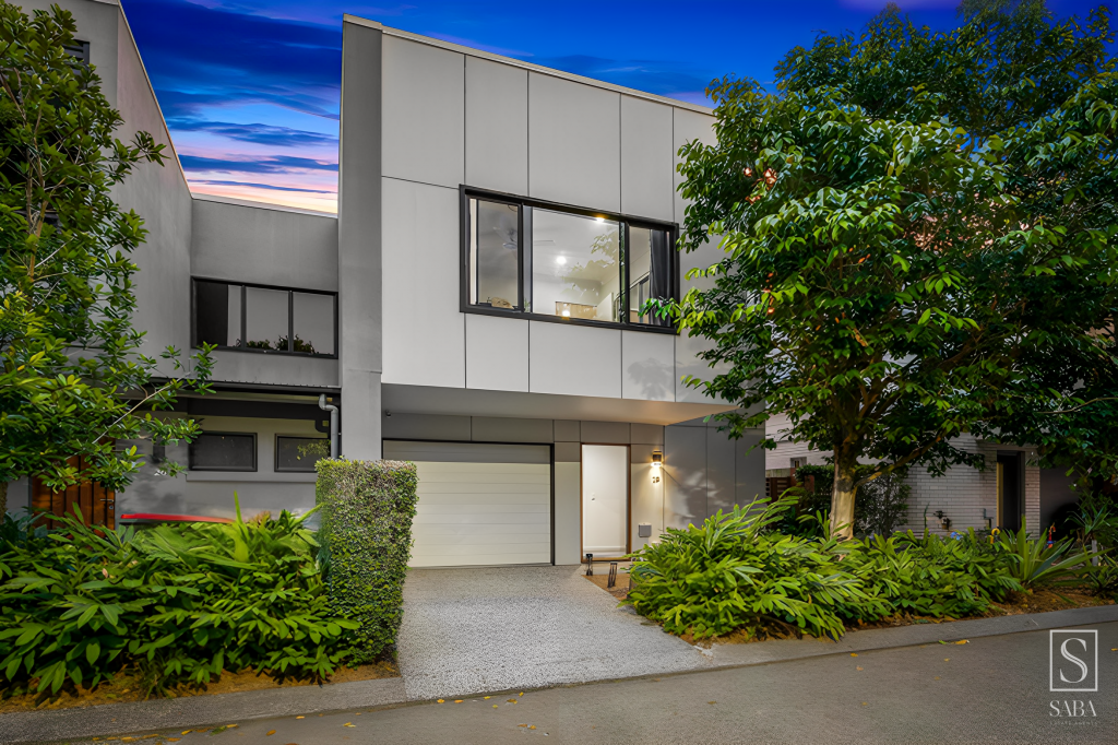
• Adjoining good quality recently completed 3 storey multi residential projects
• Substantial balance land component to the rear of the site suitable for additional units or a granny flat
• Potential fully leased gross income of $159,120 p.a.*
For further information, please contact the Ray White Special Projects Marketing Agents
*Approximately
Property History for 55 Ellen St, Oxley, QLD 4075
- 28 Feb 2025Sold
- 05 Feb 2025Listed for Sale Sold Under the Hammer
- 01 Sep 2017Listed for Sale Offers Over $2,500,000
Recent sales nearby
See more recent sales nearbySimilar properties For Sale nearby
See more properties for sale nearby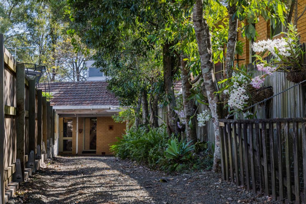

Similar properties For Rent nearby
See more properties for rent nearby

About Oxley 4075
The size of Oxley is approximately 7.2 square kilometres. It has 26 parks covering nearly 21.8% of total area. The population of Oxley in 2011 was 7,291 people. By 2016 the population was 8,323 showing a population growth of 14.2% in the area during that time. The predominant age group in Oxley is 30-39 years. Households in Oxley are primarily couples with children and are likely to be repaying $1800 - $2399 per month on mortgage repayments. In general, people in Oxley work in a professional occupation. In 2011, 66.6% of the homes in Oxley were owner-occupied compared with 68.1% in 2016.
Oxley has 4,141 properties. Over the last 5 years, Houses in Oxley have seen a 68.93% increase in median value, while Units have seen a 130.68% increase. As at 31 March 2025:
- The median value for Houses in Oxley is $955,721 while the median value for Units is $693,245.
- Houses have a median rent of $665 while Units have a median rent of $570.
What's around 55 Ellen St, Oxley
55 Ellen St, Oxley is in the school catchment zone for Corinda State School and Corinda State High School.


Suburb Insights for Oxley 4075
Market Insights
Oxley Trends for Houses
N/A
N/A
View TrendN/A
N/A
Oxley Trends for Units
N/A
N/A
View TrendN/A
N/A
Neighbourhood Insights
Age
Population 8,323
0-9
15%
10-19
11%
20-29
15%
30-39
18%
40-49
14%
50-59
10%
60-69
8%
70-79
6%
80-89
3%
90-99
1%
Household Structure
Occupancy
© Copyright 2025 RP Data Pty Ltd trading as CoreLogic Asia Pacific (CoreLogic). All rights reserved.
This product uses cookies and other similar technologies to improve and customise your browsing experience, to tailor content and adverts, and for analytics and metrics regarding visitor usage on this product and other media. We may share cookie and analytics information with third parties for the purposes of advertising. By continuing to use our website, you consent to cookies being used. View our Privacy Policy here.
X