1331 Ayr Dalbeg RoadMount Kelly QLD 4807
Property Details for 1331 Ayr Dalbeg Rd, Mount Kelly
Last Listing description (March 2022)
Mount Kelly area, set on a front block with Burdekin River frontage, this property is approximately 15 mins west of the Ayr Township and 50 mins south of Townsville. The area boasts great quantities of water resources from the Burdekin Dam and the underground water table. This property is in above average producing area and has an abundance of water through an open water pump. It is prime land for agriculture and would be a good investment because of its diversity.
The property at 1331 Ayr- Dalbeg Road offers the opportunity to build your dream home with views of the Burdekin River. The property has bitumen road frontage with access for semitrailer pickups if required. There is primary and secondary school bus pick up and mail delivery.
AREA: Ayr Dalbeg Road, Mount Kelly; approx. 12.67 Ha (31.3 acres) 1 title freehold.
SOIL TYPES: River loam soils
AVERAGE
RAIN FALL: Average rainfall 35 to 40 inches per annum
IRRIGATION: The property has a 4-5 Kelly and Lewis open water pump.
WATER ALLOCATION: License to take from Lower Burdekin Water board.
Property History for 1331 Ayr Dalbeg Rd, Mount Kelly, QLD 4807
- 28 Jun 2019Listed for Sale Price on Application
- 24 Mar 1992Sold for $93,000
Commute Calculator
Recent sales nearby
See more recent sales nearbySimilar properties For Sale nearby
See more properties for sale nearbyAbout Mount Kelly 4807
The size of Mount Kelly is approximately 46.8 square kilometres. It has 1 park covering nearly 0.1% of total area. The population of Mount Kelly in 2011 was 405 people. By 2016 the population was 273 showing a population decline of 32.6% in the area during that time. The predominant age group in Mount Kelly is 40-49 years. Households in Mount Kelly are primarily childless couples and are likely to be repaying $1800 - $2399 per month on mortgage repayments. In general, people in Mount Kelly work in a managers occupation. In 2011, 80% of the homes in Mount Kelly were owner-occupied compared with 93.8% in 2016..
Mount Kelly has 157 properties. Over the last 5 years, Houses in Mount Kelly have seen a 66.69% increase in median value. As at 31 October 2024:
- The median value for Houses in Mount Kelly is $414,058 while the median value for Units is $437,281.
Suburb Insights for Mount Kelly 4807
Market Insights
Mount Kelly Trends for Houses
N/A
N/A
View TrendN/A
N/A
Mount Kelly Trends for Units
N/A
N/A
View TrendN/A
N/A
Neighbourhood Insights
© Copyright 2024 RP Data Pty Ltd trading as CoreLogic Asia Pacific (CoreLogic). All rights reserved.

/assets/perm/c6pcnipjsyi63o7hqg3z2gumdy?signature=8bbe0cac271934aa4b57dd8bc5fc5ed98dba62a0c287c1a4e4ef20b0c0adc3ae) 0
0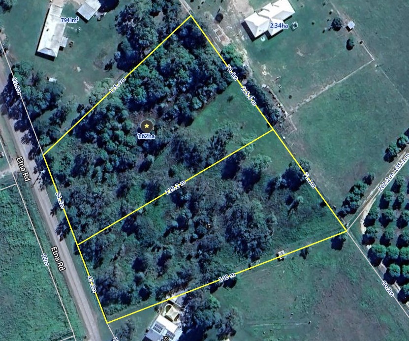 0
0

 0
0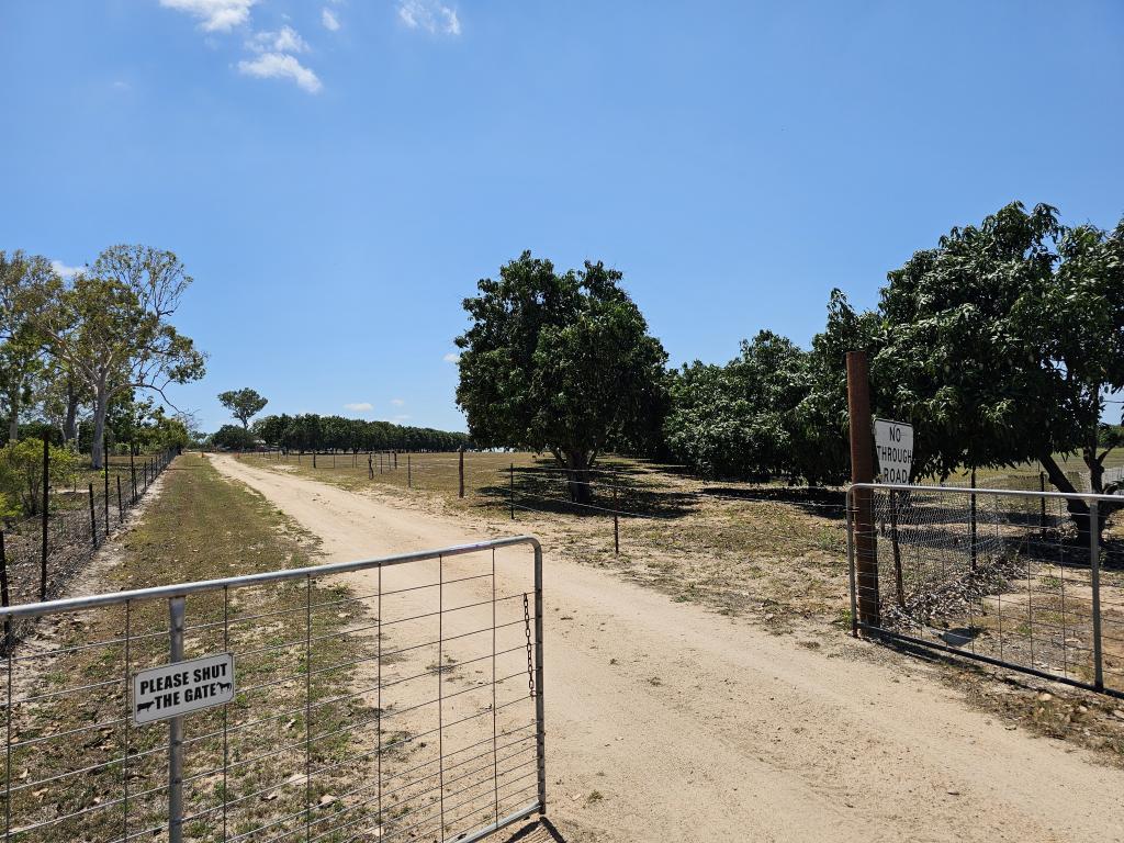 0
0