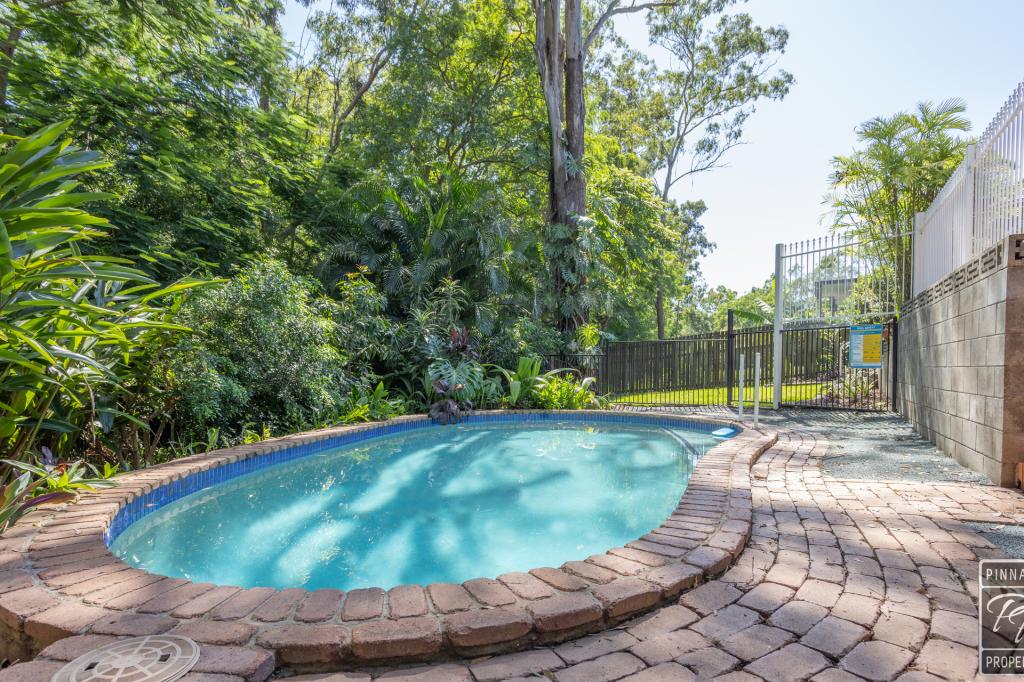
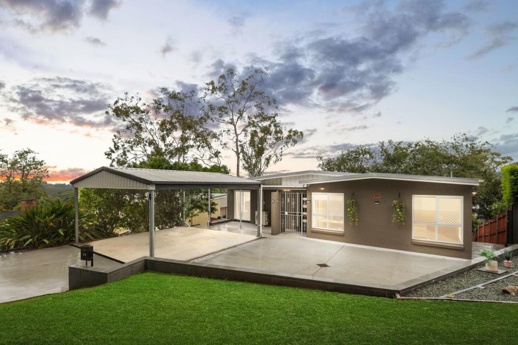
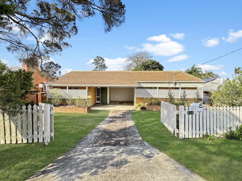
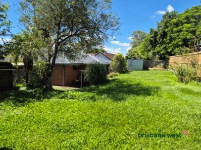
98 Kenmore RoadKenmore QLD 4069

Thinking about insurance?
Get estimated rebuild costs for this property with Sum SureProperty Details for 98 Kenmore Rd, Kenmore
98 Kenmore Rd, Kenmore is a bedroom, bathroom House and was built in 1971. The property has a land size of 928m2.
Property History for 98 Kenmore Rd, Kenmore, QLD 4069
Recent sales nearby
See more recent sales nearbySimilar properties For Sale nearby
See more properties for sale nearby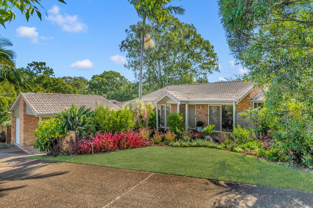


Similar properties For Rent nearby
See more properties for rent nearby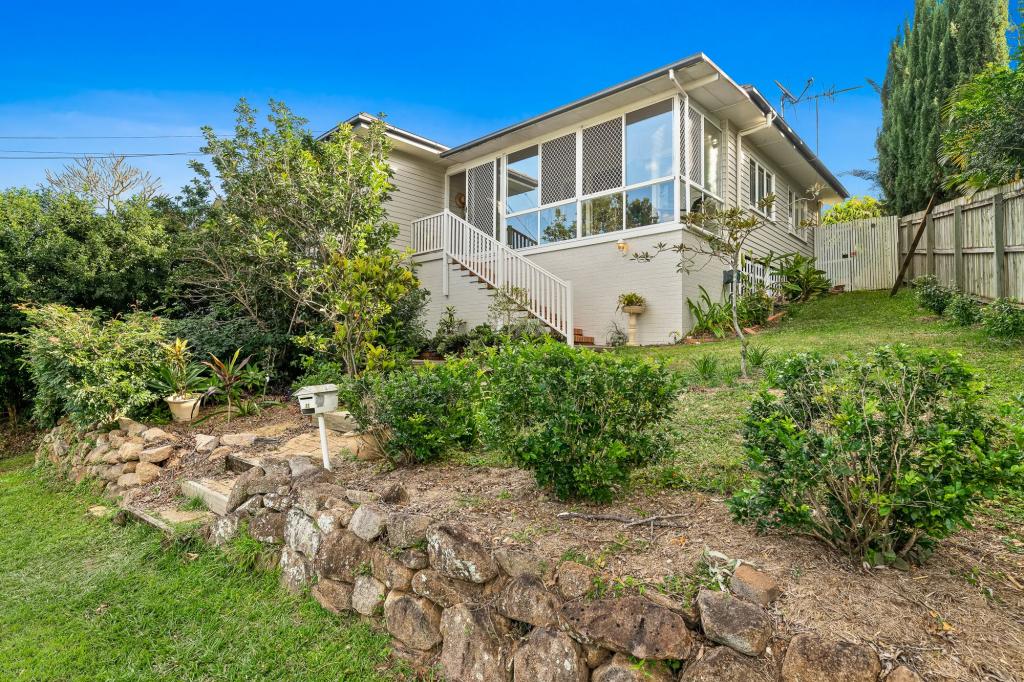
About Kenmore 4069
The size of Kenmore is approximately 5.8 square kilometres. It has 21 parks covering nearly 9% of total area. The population of Kenmore in 2011 was 8,482 people. By 2016 the population was 8,967 showing a population growth of 5.7% in the area during that time. The predominant age group in Kenmore is 40-49 years. Households in Kenmore are primarily couples with children and are likely to be repaying $1800 - $2399 per month on mortgage repayments. In general, people in Kenmore work in a professional occupation. In 2011, 81.3% of the homes in Kenmore were owner-occupied compared with 80.8% in 2016.
Kenmore has 4,170 properties. Over the last 5 years, Houses in Kenmore have seen a 68.68% increase in median value, while Units have seen a 54.33% increase. As at 31 March 2025:
- The median value for Houses in Kenmore is $1,245,426 while the median value for Units is $967,349.
- Houses have a median rent of $793 while Units have a median rent of $800.
What's around 98 Kenmore Rd, Kenmore
98 Kenmore Rd, Kenmore is in the school catchment zone for Kenmore South State School and Kenmore State High School.


Suburb Insights for Kenmore 4069
Market Insights
Kenmore Trends for Houses
N/A
N/A
View TrendN/A
N/A
Kenmore Trends for Units
N/A
N/A
View TrendN/A
N/A
Neighbourhood Insights
Age
Population 8,967
0-9
13%
10-19
15%
20-29
10%
30-39
12%
40-49
16%
50-59
12%
60-69
9%
70-79
9%
80-89
4%
90-99
1%
Household Structure
Occupancy
This product uses cookies and other similar technologies to improve and customise your browsing experience, to tailor content and adverts, and for analytics and metrics regarding visitor usage on this product and other media. We may share cookie and analytics information with third parties for the purposes of advertising. By continuing to use our website, you consent to cookies being used. View our Privacy Policy here.
X