2/36 Scott RoadHerston QLD 4006
Property Details for 2/36 Scott Rd, Herston
2/36 Scott Rd, Herston is a 2 bedroom, 1 bathroom Unit with 1 parking spaces and was built in 1973. The property has a land size of 127m2 and floor size of 90m2. While the property is not currently for sale or for rent, it was last sold in October 2020.
Last Listing description (June 2023)
Are you seeking a comfortable and well-located apartment in Herston? Look no further! We are pleased to present 2/36 Scott Road, a delightful 2-bedroom apartment that offers a perfect blend of convenience, style, and tranquility. Don't miss out on this fantastic opportunity to make it your new home.
Property features include
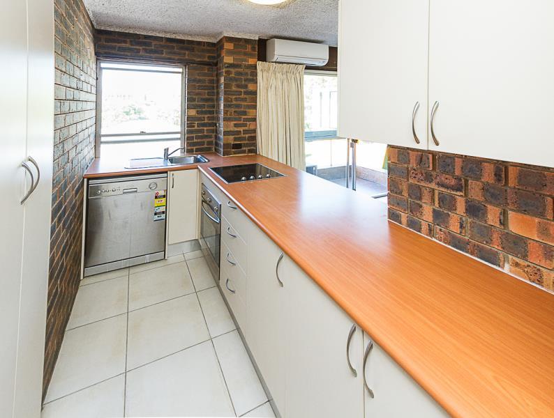
- Large kitchen with ample storage and stainless steel appliances
- Two spacious bedrooms with ceiling fans and built in wardrobes
- Newly renovated bathroom and separate powder room
- Front tiled patio
- Secure building with intercom system
- Pet friendly building
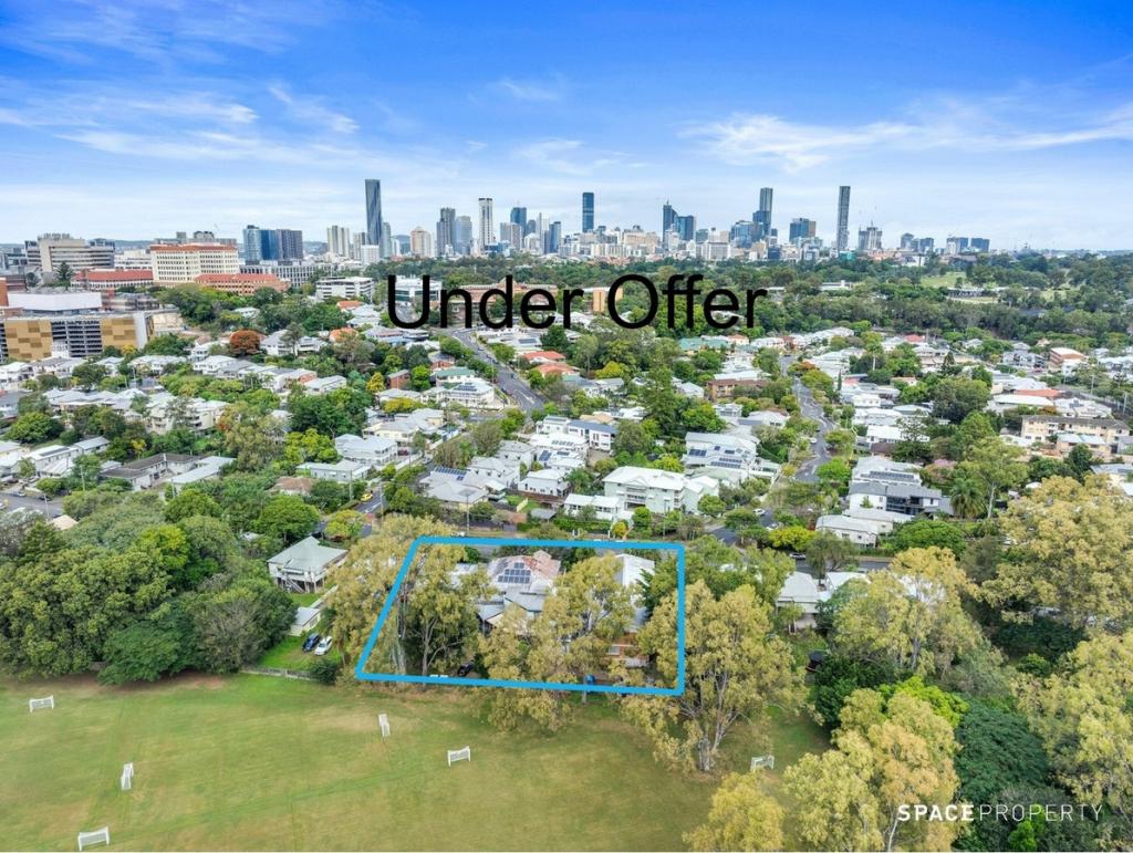
36 Scott Road is ideally located only 1.5km to the Kelvin Grove campus and the RBWH not to mention only being 4.4km from the Brisbane CBD. Please contact our office today, this property won't last long!
Property History for 2/36 Scott Rd, Herston, QLD 4006
- 31 May 2023Listed for Rent $525 / week
- 07 Oct 2020Sold for $370,000
- 28 Aug 2020Listed for Sale Under Contract
Commute Calculator
Recent sales nearby
See more recent sales nearbySimilar properties For Sale nearby
See more properties for sale nearbySimilar properties For Rent nearby
See more properties for rent nearbyAbout Herston 4006
The size of Herston is approximately 1.6 square kilometres. It has 6 parks covering nearly 48.2% of total area. The population of Herston in 2011 was 1,831 people. By 2016 the population was 2,216 showing a population growth of 21.0% in the area during that time. The predominant age group in Herston is 20-29 years. Households in Herston are primarily childless couples and are likely to be repaying $1800 - $2399 per month on mortgage repayments. In general, people in Herston work in a professional occupation. In 2011, 42.3% of the homes in Herston were owner-occupied compared with 35.5% in 2016.
Herston has 1,128 properties. Over the last 5 years, Houses in Herston have seen a 71.43% increase in median value, while Units have seen a 69.85% increase. As at 31 October 2024:
- The median value for Houses in Herston is $1,440,173 while the median value for Units is $791,048.
- Houses have a median rent of $650 while Units have a median rent of $600.
Suburb Insights for Herston 4006
Market Insights
Herston Trends for Houses
N/A
N/A
View TrendN/A
N/A
Herston Trends for Units
N/A
N/A
View TrendN/A
N/A
Neighbourhood Insights
© Copyright 2024 RP Data Pty Ltd trading as CoreLogic Asia Pacific (CoreLogic). All rights reserved.


/assets/perm/6jqkng56nii6npkdi7bqgk6b6q?signature=6d4436851cc9da24cf4ad73d16c27736ca3dcebed72611bf0a540c8f2edfeacf) 0
0 0
0
/assets/perm/hmrgpphquui6ppg2wxkjgehn64?signature=36f0a6544afc22a01f7556a15f76dbb0e2f0c7abe552790e59f5b90355bf7241) 0
0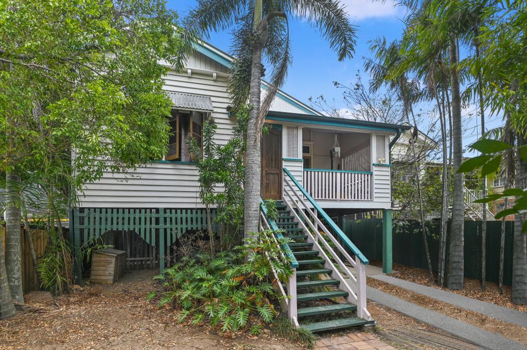 0
0

 0
0
 0
0
 0
0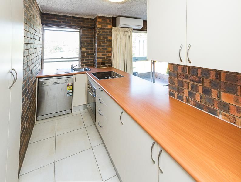 0
0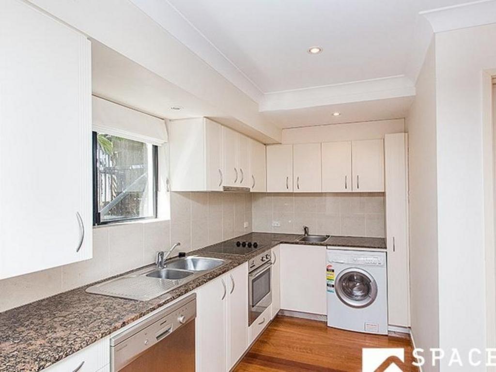 0
0
