36 Patrick King DriveBurnside QLD 4560
Property Details for 36 Patrick King Dr, Burnside
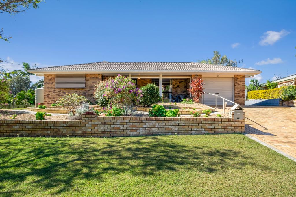
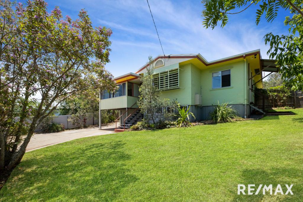
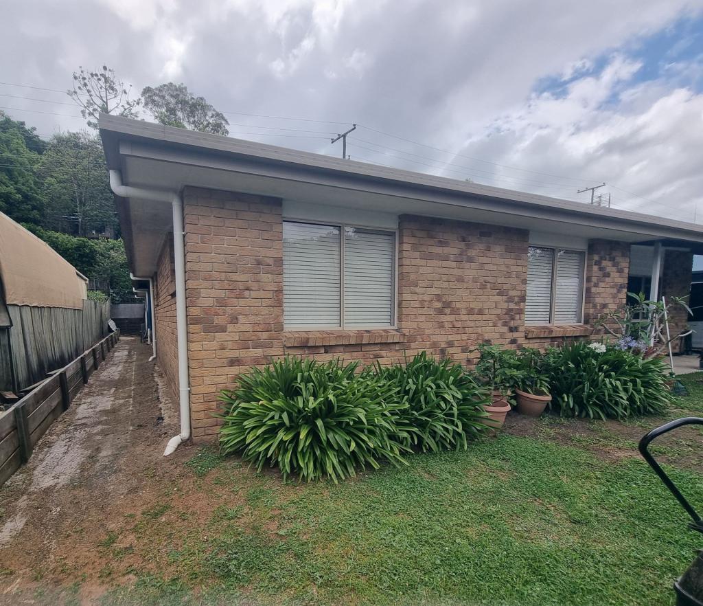
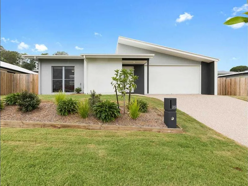
36 Patrick King Dr, Burnside is a 3 bedroom, 2 bathroom House with 2 parking spaces and was built in 2014. The property has a land size of 720m2 and floor size of 138m2. While the property is not currently for sale or for rent, it was last sold in January 2021.
Last Listing description (February 2021)
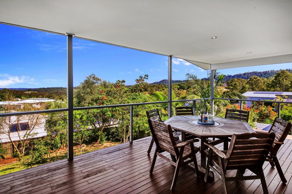
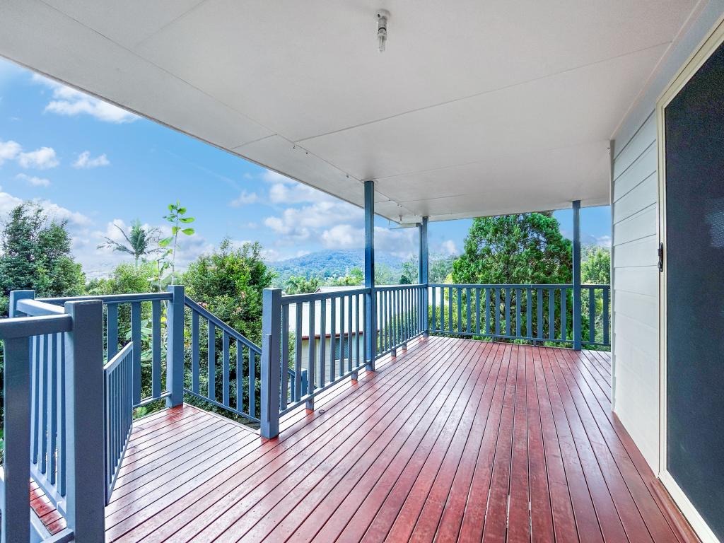
If you are thinking of working from home and want a pleasant environment or don't like that "boxed in" feeling then this is the home for you. Sitting on a 720m2 block, this 5 year old home is designed so that the living areas and veranda soak up the attractive surrounds. With no rear neighbour, you'll be overlooking grassland and trees full of birds.
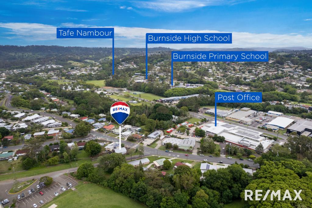
The home has plenty of living space, a well equipped kitchen, three bedrooms with ensuite to the main and a double garage. An extension underneath is an option for the future with internal stairs already in place. Schools and Tafe are walking distance and its only a few minutes' drive to the Nambour town centre and railway station.
Features
Walking distance to schools and Tafe
A few minutes' drive to Nambour's transport hub and town centre
No rear neighbour
Modern home with open plan design
Ready to extend
Air conditioner
Property History for 36 Patrick King Dr, Burnside, QLD 4560
- 22 Jan 2021Sold for $540,000
- 14 Jan 2021Listed for Sale $540,000
- 25 Nov 2013Transferred for $115,000
Commute Calculator
Recent sales nearby
See more recent sales nearbySimilar properties For Sale nearby
See more properties for sale nearbySimilar properties For Rent nearby
See more properties for rent nearbyAbout Burnside 4560
The size of Burnside is approximately 4.8 square kilometres. It has 6 parks covering nearly 1.3% of total area. The population of Burnside in 2011 was 1,948 people. By 2016 the population was 2,393 showing a population growth of 22.8% in the area during that time. The predominant age group in Burnside is 0-9 years. Households in Burnside are primarily couples with children and are likely to be repaying $1800 - $2399 per month on mortgage repayments. In general, people in Burnside work in a trades occupation. In 2011, 71.5% of the homes in Burnside were owner-occupied compared with 75.9% in 2016.
Burnside has 1,432 properties. Over the last 5 years, Houses in Burnside have seen a 83.27% increase in median value, while Units have seen a 76.43% increase. As at 31 October 2024:
- The median value for Houses in Burnside is $809,787 while the median value for Units is $641,312.
- Houses have a median rent of $693.
Suburb Insights for Burnside 4560
Market Insights
Burnside Trends for Houses
N/A
N/A
View TrendN/A
N/A
Burnside Trends for Units
N/A
N/A
View TrendN/A
N/A
Neighbourhood Insights
© Copyright 2024 RP Data Pty Ltd trading as CoreLogic Asia Pacific (CoreLogic). All rights reserved.


 0
0
 0
0

 0
0
 0
0
 0
0
 0
0
 0
0
 0
0

