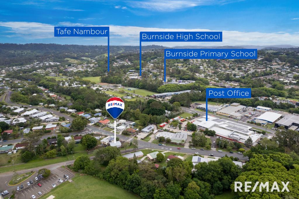
193 Nambour Mapleton RoadBurnside QLD 4560
Property Details for 193 Nambour Mapleton Rd, Burnside
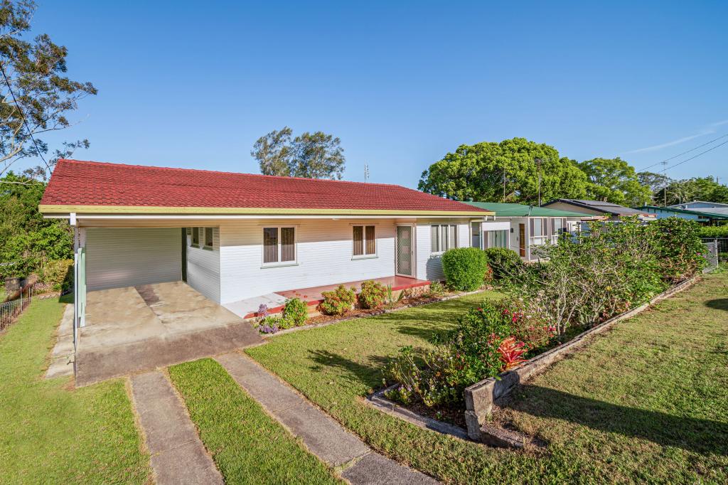
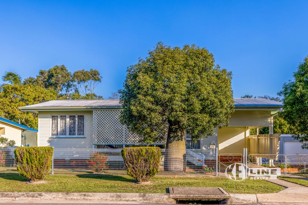
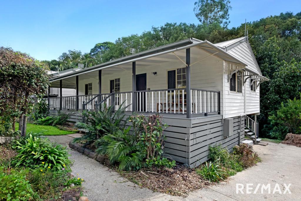
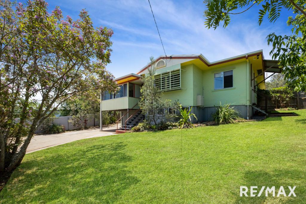
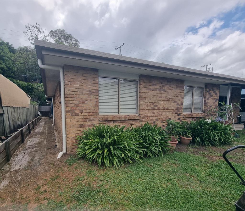
193 Nambour Mapleton Rd, Burnside is a 3 bedroom, 1 bathroom House with 1 parking spaces and was built in 1985. The property has a land size of 1061m2 and floor size of 92m2. While the property is not currently for sale or for rent, it was last sold in July 2021.
Last Listing description (August 2021)
They say to never judge a book by its cover, never has that been truer. Entering the light filled home looking across the gleaming white tiles, to the gorgeous, renovated kitchen with pendant light fittings, before meandering through to the stacker doors and stepping out to the full-length patio and taking in the impressive large yard and beautiful views across Burnside. Featuring three bedrooms, renovated bathroom (with open style shower) and laundry, Crim safe security screen on both the front and rear doors, freshly tiled throughout plus reverse cycle air conditioner in the living. Open style fully renovated kitchen with ceramic cooktop, wall mounted oven and large island bench overlooking the main living area.With 1061sqm there is plenty of room for outdoor activities be that kids play grounds or vege gardening, this really is a place to make home. This property will not last long.
Property History for 193 Nambour Mapleton Rd, Burnside, QLD 4560
- 13 Jul 2021Sold for $515,000
- 24 Jun 2021Listed for Sale SOLD - 27/07/21
- 21 Jul 2015Sold for $335,000
Commute Calculator
Recent sales nearby
See more recent sales nearbySimilar properties For Sale nearby
See more properties for sale nearbySimilar properties For Rent nearby
See more properties for rent nearbyAbout Burnside 4560
The size of Burnside is approximately 4.8 square kilometres. It has 6 parks covering nearly 1.3% of total area. The population of Burnside in 2011 was 1,948 people. By 2016 the population was 2,393 showing a population growth of 22.8% in the area during that time. The predominant age group in Burnside is 0-9 years. Households in Burnside are primarily couples with children and are likely to be repaying $1800 - $2399 per month on mortgage repayments. In general, people in Burnside work in a trades occupation. In 2011, 71.5% of the homes in Burnside were owner-occupied compared with 75.9% in 2016.
Burnside has 1,432 properties. Over the last 5 years, Houses in Burnside have seen a 83.27% increase in median value, while Units have seen a 76.43% increase. As at 31 October 2024:
- The median value for Houses in Burnside is $809,787 while the median value for Units is $641,312.
- Houses have a median rent of $693.
Suburb Insights for Burnside 4560
Market Insights
Burnside Trends for Houses
N/A
N/A
View TrendN/A
N/A
Burnside Trends for Units
N/A
N/A
View TrendN/A
N/A
Neighbourhood Insights
© Copyright 2024 RP Data Pty Ltd trading as CoreLogic Asia Pacific (CoreLogic). All rights reserved.


 0
0
 0
0

 0
0

 0
0
 0
0
 0
0
 0
0
 0
0

 0
0

