2963 Gore HighwayBroxburn QLD 4356
Property Details for 2963 Gore Hwy, Broxburn
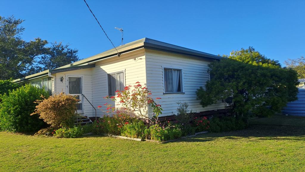
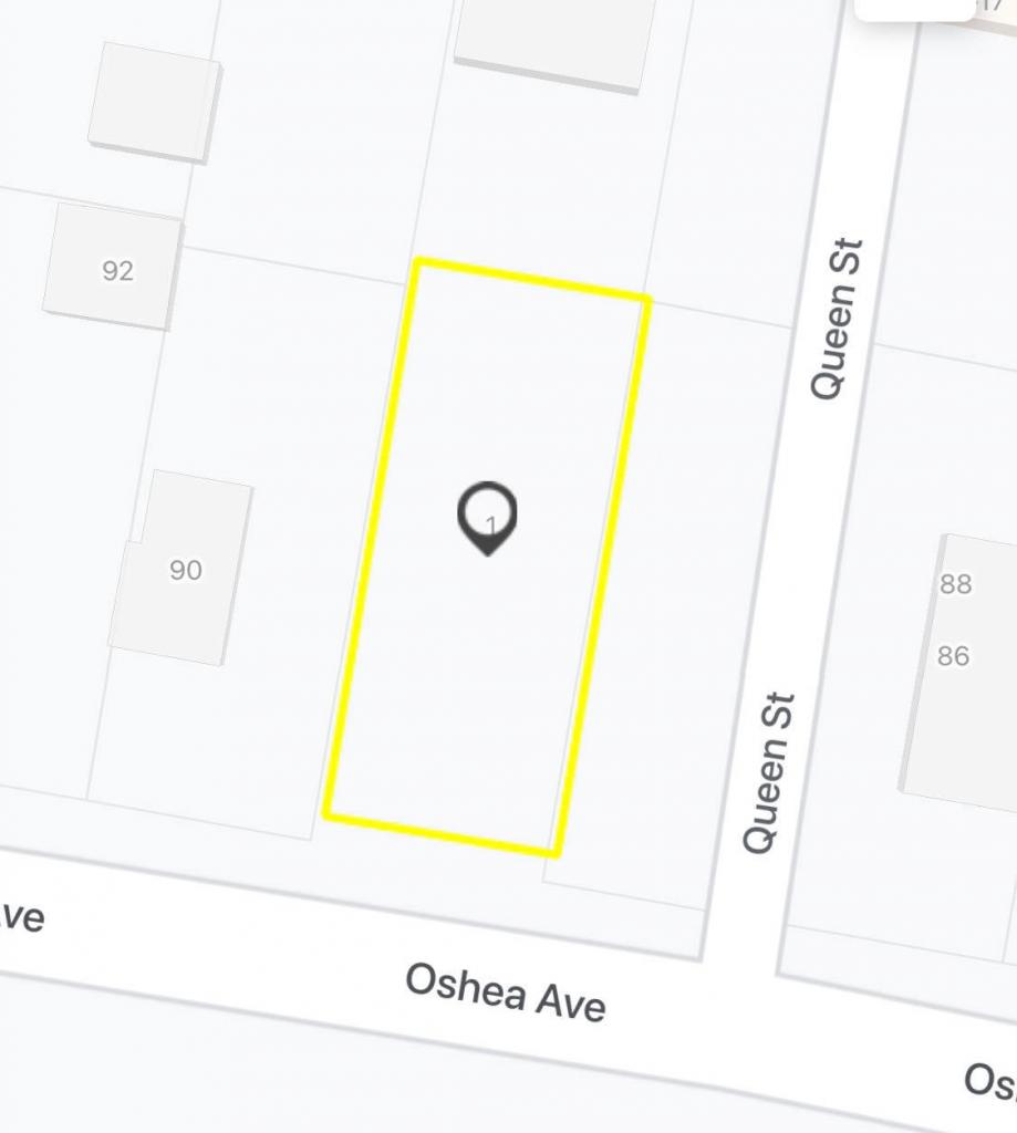
2963 Gore Hwy, Broxburn is a 2 bedroom, 1 bathroom House with 1 parking spaces. The property has a land size of 1582m2. While the property is not currently for sale or for rent, it was last sold in March 2015.
Last Listing description (February 2016)
A stand alone 1582m2 allotment on the edge of the Gore Highway 2km west of the township of Southbrook, with an ex Railway Gangers cottage, carport, single garage & storage area in place. Fowl run & numerous rain water tanks and several fruit trees. Power connected to the property.
Town water passes the block out on the road edge. Aged owner can no longer care for it. Reluctantly selling her memories.
Being offered For Sale on an 'AS IS ' basis. Demolish or rebuild from the solid bones. Or start again -- Your call.
Priced at only $42,000 for a Quick Sale
Property History for 2963 Gore Hwy, Broxburn, QLD 4356
- 17 Mar 2015Sold for $42,000
- 09 Mar 2015Listed for Sale $42,000
- 26 Feb 1997Transferred
Commute Calculator
Recent sales nearby
See more recent sales nearbySimilar properties For Sale nearby
See more properties for sale nearbyAbout Broxburn 4356
The size of Broxburn is approximately 31.9 square kilometres. The population of Broxburn in 2011 was 246 people. By 2016 the population was 154 showing a population decline of 37.4% in the area during that time. The predominant age group in Broxburn is 40-49 years. Households in Broxburn are primarily childless couples and are likely to be repaying $1400 - $1799 per month on mortgage repayments. In general, people in Broxburn work in a managers occupation. In 2011, 71.5% of the homes in Broxburn were owner-occupied compared with 75.5% in 2016..
Broxburn has 48 properties. Over the last 5 years, Houses in Broxburn have seen a 128.93% increase in median value. As at 31 October 2024:
- The median value for Houses in Broxburn is $866,937.
Suburb Insights for Broxburn 4356
Market Insights
Broxburn Trends for Houses
N/A
N/A
View TrendN/A
N/A
Broxburn Trends for Units
N/A
N/A
View TrendN/A
N/A
Neighbourhood Insights
© Copyright 2024 RP Data Pty Ltd trading as CoreLogic Asia Pacific (CoreLogic). All rights reserved.


 0
0

/assets/perm/s7xs6356tai6noeipwstkaftdq?signature=83d6e281726c319c679d4f0d58b80e260c79795eaf5589b57fd4af315f363768) 0
0
 0
0 0
0 0
0 0
0
