89 Layfield RoadAnstead QLD 4070
Property Details for 89 Layfield Rd, Anstead
89 Layfield Rd, Anstead is a 4 bedroom, 2 bathroom House with 2 parking spaces. The property has a land size of 10220m2. While the property is not currently for sale or for rent, it was last sold in February 2016.
Last Listing description (May 2016)
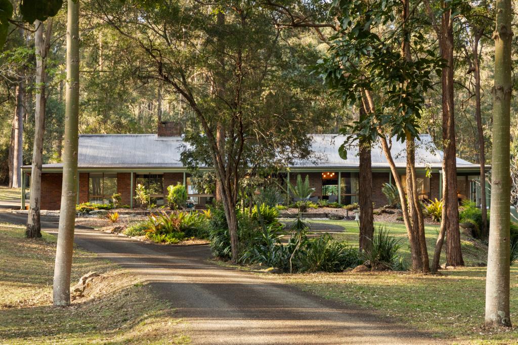
Discreetly situated well back off a quiet cul-de-sac, this beautifully maintained home and its surrounds provide the perfect habitat for native flora, birdlife and fauna. Koalas, platypus, parrots and wedgetail eagles are but a few of the delights on offer in this peaceful nature lovers' paradise.
Features:
*wide covered verandahs along the front and rear of the residence
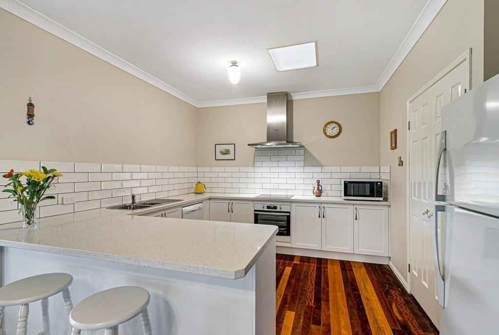
*quality timber kitchen (Tasmanian Oak) with views to bushland terraced down to the pool area
*four spacious bedrooms with built-ins master with walk-in robe and ensuite
*the upper level features a massive light-filled area providing the ideal space for a home office, rumpus room, or studio; enjoys expansive views across the property
*gauzed outdoor sunroom a quiet place to sit and watch the birds
*pool in natural setting ; level play area around the pool great for picnics !
*convenient drive through carport
*town and tank water
*shops, transport and schools only minutes away
*1hectare (2.5acres) of lawn and bushland
Property History for 89 Layfield Rd, Anstead, QLD 4070
- 27 Feb 2016Sold for $650,000
- 05 Jan 2016Listed for Sale Under Contract
- 29 Jan 1994Sold for $243,000
Commute Calculator
Recent sales nearby
See more recent sales nearbySimilar properties For Sale nearby
See more properties for sale nearbySimilar properties For Rent nearby
See more properties for rent nearbyAbout Anstead 4070
The size of Anstead is approximately 14.3 square kilometres. It has 6 parks covering nearly 40.1% of total area. The population of Anstead in 2011 was 1,529 people. By 2016 the population was 1,498 showing a population decline of 2.0% in the area during that time. The predominant age group in Anstead is 40-49 years. Households in Anstead are primarily couples with children and are likely to be repaying $2400 - $2999 per month on mortgage repayments. In general, people in Anstead work in a professional occupation. In 2011, 89.2% of the homes in Anstead were owner-occupied compared with 88.7% in 2016.
Anstead has 582 properties. Over the last 5 years, Houses in Anstead have seen a 80.37% increase in median value, while Units have seen a 13.10% increase. As at 31 October 2024:
- The median value for Houses in Anstead is $1,702,972 while the median value for Units is $917,986.
- Houses have a median rent of $800.
Suburb Insights for Anstead 4070
Market Insights
Anstead Trends for Houses
N/A
N/A
View TrendN/A
N/A
Anstead Trends for Units
N/A
N/A
View TrendN/A
N/A
Neighbourhood Insights
© Copyright 2024 RP Data Pty Ltd trading as CoreLogic Asia Pacific (CoreLogic). All rights reserved.


 0
0

/assets/perm/q4qm4in6n4i6ngjydp6gh7mryq?signature=1e9e16e063f60bd54bccd7fac64bb48a7cd1544db52942a1e8aababd4292f318) 0
0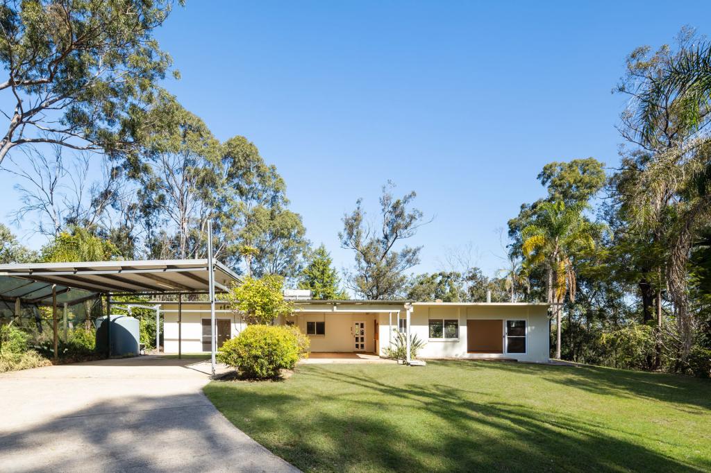 0
0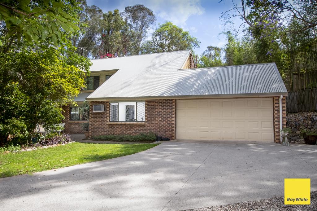 0
0
 0
0

 0
0
 0
0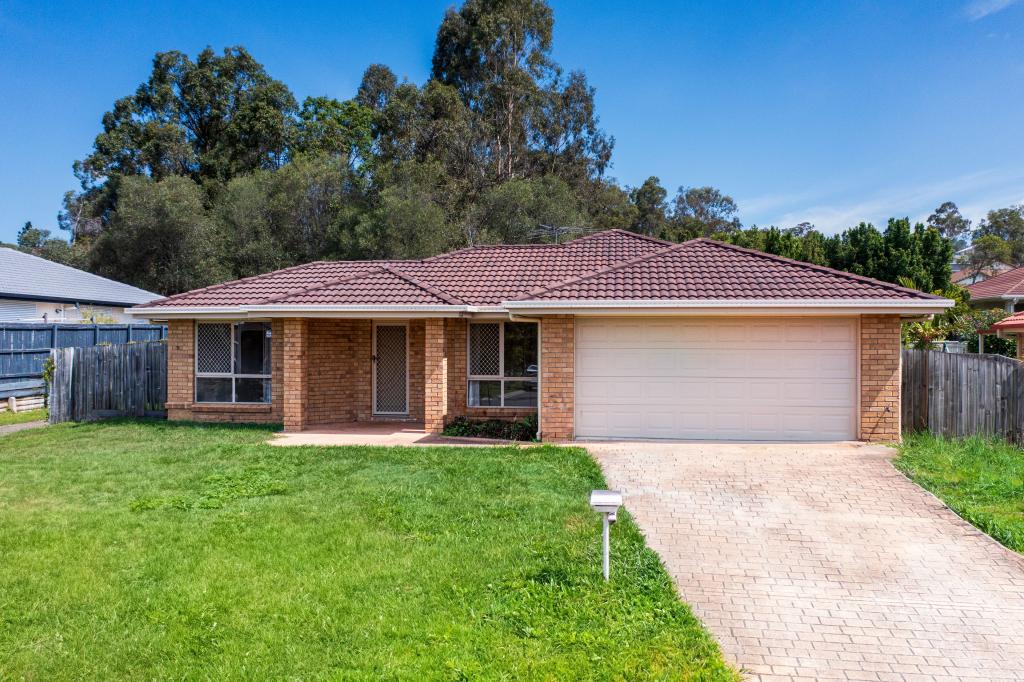 0
0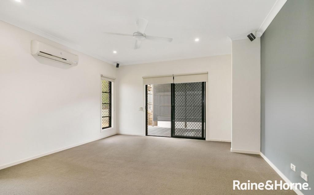 0
0

