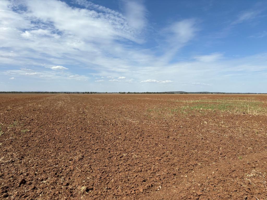
1934 Bringagee RoadWarrawidgee NSW 2680
Property Details for 1934 Bringagee Rd, Warrawidgee
Last Listing description (October 2020)
343Ha* (847ac*) in total.
Comprising 48Ha* (120ac*) of Almond grove and balance of land broadacre irrigation country and improvements.
Located 26km* west of Griffith in the Riverina region of NSW.
Soil types range from self mulching grey to rising lighter reddish suitable to further expansion of permanent plantings.
Almond plantings are under drip irrigation (60ac* - 6yr old and 60ac* - 11yr old).
Broadacre irrigation country is land formed with approximately 70% of this area able to be recycled.
Improvements are 4 bedroom brick home in need of some repair, 2 x machinery sheds, shearing shed, stock and domestic bore, recycle pump, drip irrigation pump station and shed plus associated infrastructure.
Included in the sale are 1643 MIL Delivery Entitlements.
Negotiable are 1643 MIL Water Entitlements.
*Approximately
Property History for 1934 Bringagee Rd, Warrawidgee, NSW 2680
- 07 Oct 2020Sold for $2,651,550
- 28 Nov 2019Listed for Sale Contact Agent
- 23 Sep 2013Sold
Commute Calculator
About Warrawidgee 2680
The size of Warrawidgee is approximately 441 square kilometres. The population of Warrawidgee in 2011 was 676 people. By 2016 the population was 81 showing a population decline of 88.0% in the area during that time. The predominant age group in Warrawidgee is 40-49 years. Households in Warrawidgee are primarily couples with children and are likely to be repaying under $300 per month on mortgage repayments. In general, people in Warrawidgee work in a managers occupation. In 2011, 67.6% of the homes in Warrawidgee were owner-occupied compared with 53.8% in 2016..
Warrawidgee has 73 properties. Over the last 5 years, Houses in Warrawidgee have seen a 9.11% increase in median value. As at 31 October 2024:
- The median value for Houses in Warrawidgee is $503,518.
Suburb Insights for Warrawidgee 2680
Market Insights
Warrawidgee Trends for Houses
N/A
N/A
View TrendN/A
N/A
Warrawidgee Trends for Units
N/A
N/A
View TrendN/A
N/A
Neighbourhood Insights
© Copyright 2024 RP Data Pty Ltd trading as CoreLogic Asia Pacific (CoreLogic). All rights reserved.

 0
0

