203/823-829 King Georges RoadSouth Hurstville NSW 2221

Property Details for 203/823-829 King Georges Rd, South Hurstville
203/823-829 King Georges Rd, South Hurstville is a 2 bedroom, 2 bathroom Unit with 1 parking spaces and was built in 2015. The property has a land size of 111m2 and floor size of 82m2. While the property is not currently for sale or for rent, it was last sold in September 2022.
Last Listing description (November 2023)
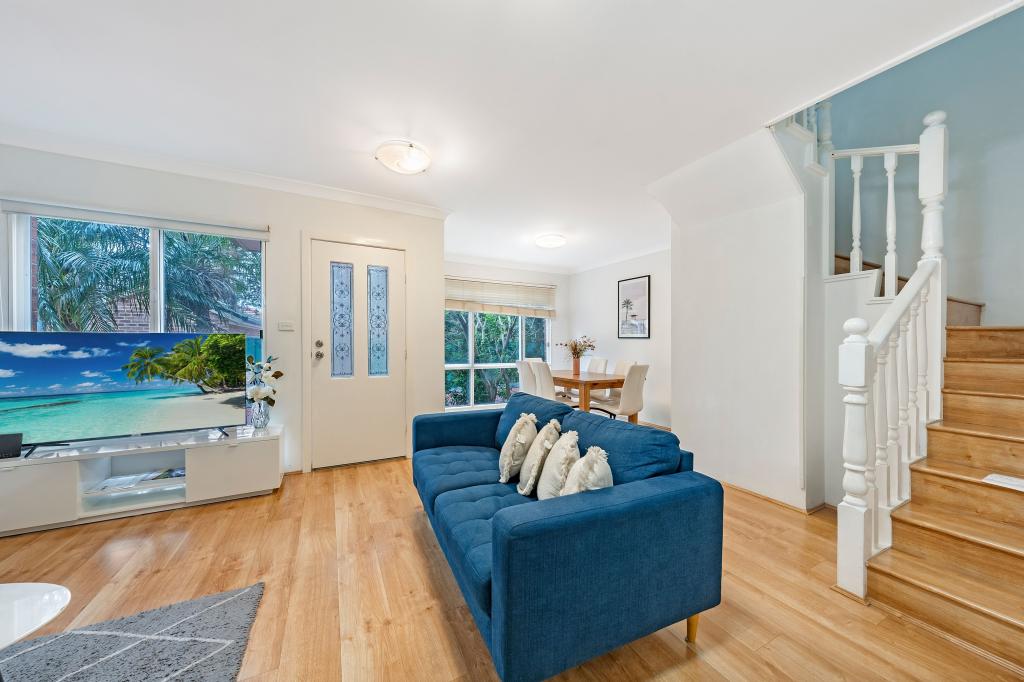
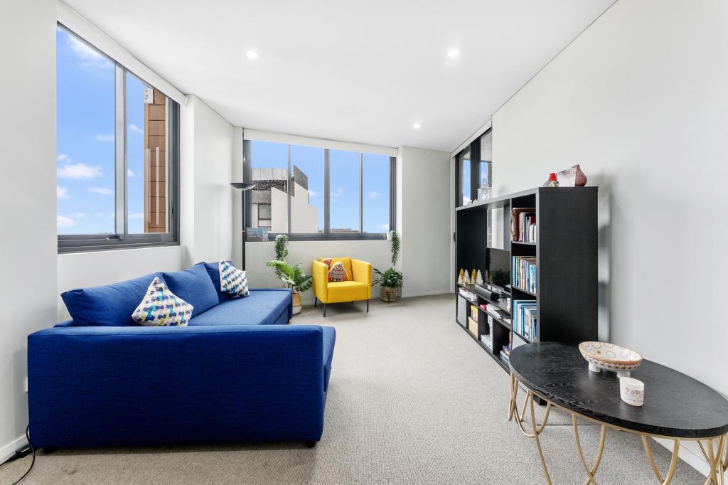
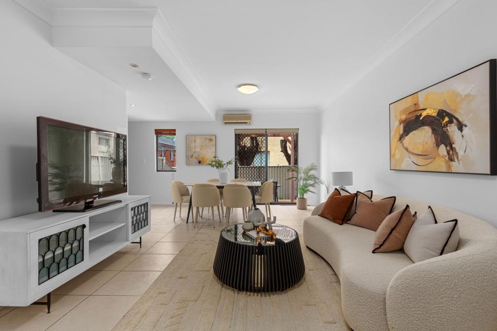
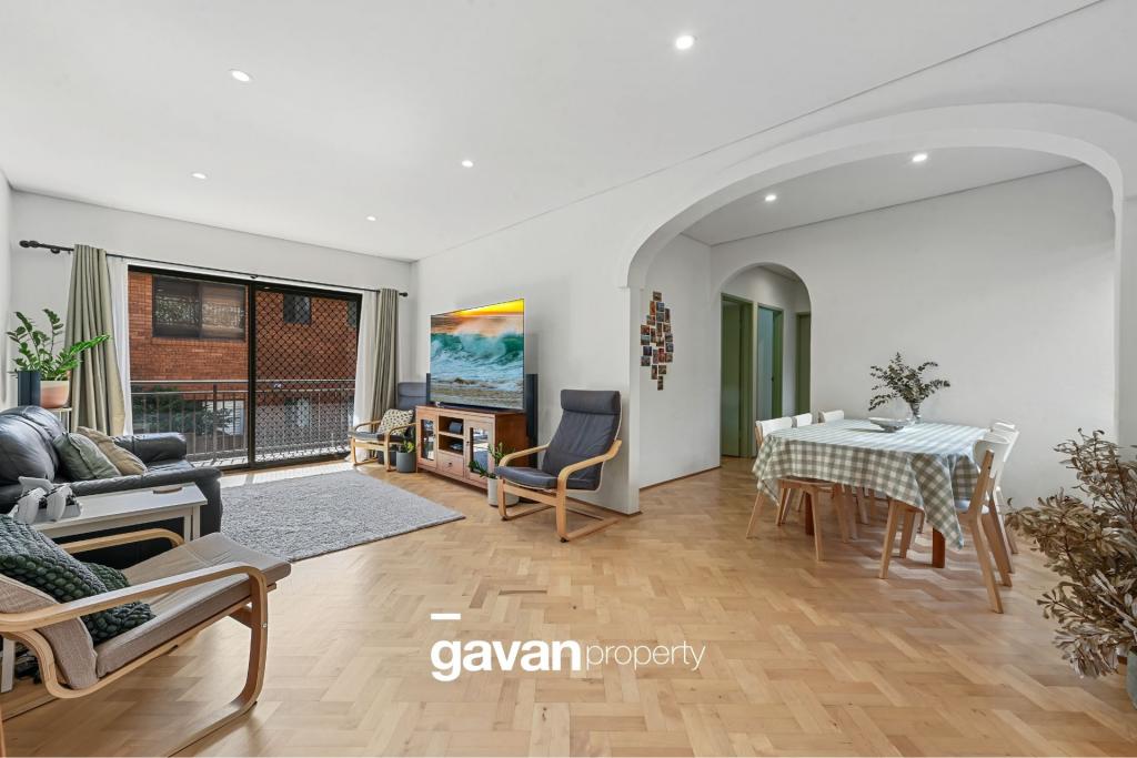
This impressive and spacious two-bedroom apartment in South Hurstville boasts a double brick construction and is situated on the side of the building, providing an abundance of natural light.
Conveniently located with walk or bus access to Hurstville train station, the hospital, and library, it offers the ultimate urban lifestyle. Enjoy the convenience of a short stroll to the IGA Supermarket and a variety of bustling cafes, including Cure Caf, Oregano Bakery, and The Pinnacle South Hurstville RSL.
Key Features:
- An open-plan living and dining area flooded with natural light.
- A remarkable, sun-drenched master bedroom with a built-in wardrobe, en-suite, and private balcony access.
- An open-plan kitchen featuring Caesarstone benchtops, a breakfast bar, range hood, dishwasher, oven, and ample storage.
- Equipped with split system air conditioning, lift access, and a dedicated parking space with a storage cage.
- The apartment offers timber floors, secure video intercom, and an internal laundry.
- Pets may be considered upon application.
***To arrange a viewing of this property, registration is required.***
Registering will enable us to keep you informed of any changes in viewing times or cancellations.
Property History for 203/823-829 King Georges Rd, South Hurstville, NSW 2221
- 11 Oct 2023Listed for Rent $660 / week
- 19 Jun 2023Listed for Rent $640 / week
- 29 Sep 2022Sold for $585,000
Recent sales nearby
See more recent sales nearbySimilar properties For Sale nearby
See more properties for sale nearby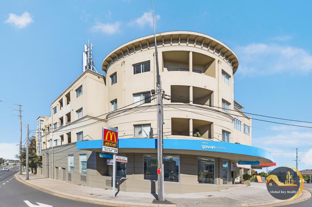
Similar properties For Rent nearby
See more properties for rent nearby
About South Hurstville 2221
The size of South Hurstville is approximately 1.1 square kilometres. It has 12 parks covering nearly 4.2% of total area. The population of South Hurstville in 2011 was 4,928 people. By 2016 the population was 5,139 showing a population growth of 4.3% in the area during that time. The predominant age group in South Hurstville is 20-29 years. Households in South Hurstville are primarily couples with children and are likely to be repaying $1800 - $2399 per month on mortgage repayments. In general, people in South Hurstville work in a professional occupation. In 2011, 72.3% of the homes in South Hurstville were owner-occupied compared with 69.3% in 2016.
South Hurstville has 2,440 properties. Over the last 5 years, Houses in South Hurstville have seen a 32.30% increase in median value, while Units have seen a 17.09% increase. As at 28 February 2025:
- The median value for Houses in South Hurstville is $1,779,045 while the median value for Units is $853,092.
- Houses have a median rent of $790 while Units have a median rent of $685.
What's around 203/823-829 King Georges Rd, South Hurstville
203/823-829 King Georges Rd, South Hurstville is in the school catchment zone for Blakehurst High School and Connells Point Public School.


Suburb Insights for South Hurstville 2221
Market Insights
South Hurstville Trends for Houses
$1.78M
6.27%
View Trend$790/W
2.67%
South Hurstville Trends for Units
$853k
2.39%
View Trend$685/W
4.14%
Neighbourhood Insights
Age
Population 5,139
0-9
12%
10-19
12%
20-29
14%
30-39
14%
40-49
14%
50-59
13%
60-69
9%
70-79
6%
80-89
4%
90-99
1%
Household Structure
Occupancy
© Copyright 2025 RP Data Pty Ltd trading as CoreLogic Asia Pacific (CoreLogic). All rights reserved.
This product uses cookies and other similar technologies to improve and customise your browsing experience, to tailor content and adverts, and for analytics and metrics regarding visitor usage on this product and other media. We may share cookie and analytics information with third parties for the purposes of advertising. By continuing to use our website, you consent to cookies being used. View our Privacy Policy here.
X