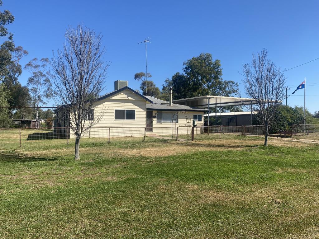
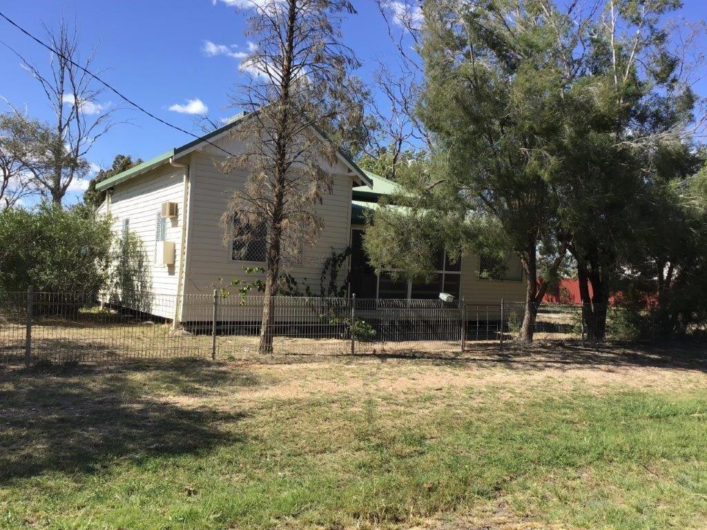
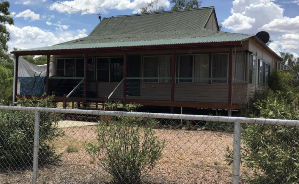
73 Loftus StreetMungindi NSW 2406
Property Details for Lot 6/73 Loftus St, Mungindi
Last Listing description (September 2016)
Vacant Residential Land 2,023 SQM. Water, sewer and waste services available.
Mungindi is a town on the border of New South Wales and Queensland in Moree Plains Shire. Mungindi sits on the Carnarvon Highway and straddles the Barwon River. There are two schools, one hospital, one library and a heap of sporting activities.
Property History for Lot 6/73 Loftus St, Mungindi, NSW 2406
- 09 Jun 2016Listed for Sale 8,900
Commute Calculator
Similar properties For Sale nearby
See more properties for sale nearbyAbout Mungindi 2406
The size of Mungindi is approximately 1,081.2 square kilometres. The population of Mungindi in 2011 was 383 people. By 2016 the population was 141 showing a population decline of 63.2% in the area during that time. The predominant age group in Mungindi is 60-69 years. Households in Mungindi are primarily couples with children and are likely to be repaying $1000 - $1399 per month on mortgage repayments. In general, people in Mungindi work in a labourer occupation. In 2011, 55.4% of the homes in Mungindi were owner-occupied compared with 66.6% in 2016..
Mungindi has NaN properties. Over the last 5 years, Houses in Mungindi have seen a 91.18% increase in median value. As at 30 November 2024:
- The median value for Houses in Mungindi is $139,047.
Suburb Insights for Mungindi 2406
Market Insights
Mungindi Trends for Houses
N/A
N/A
View TrendN/A
N/A
Mungindi Trends for Units
N/A
N/A
View TrendN/A
N/A
Neighbourhood Insights
© Copyright 2024 RP Data Pty Ltd trading as CoreLogic Asia Pacific (CoreLogic). All rights reserved.

 0
0
 0
0 0
0