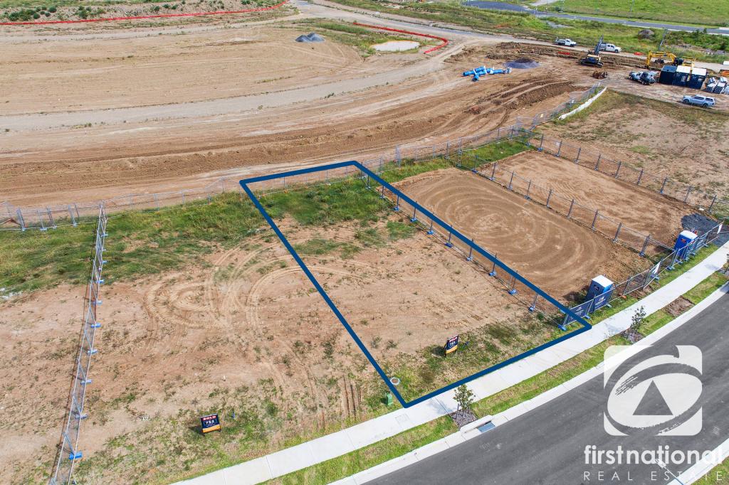
Chain-O-Ponds RoadMulgoa NSW 2745
Property Details for Lot 5 Chain-O-Ponds Rd, Mulgoa
Property History for Lot 5 Chain-O-Ponds Rd, Mulgoa, NSW 2745
- 11 Oct 2024Sold
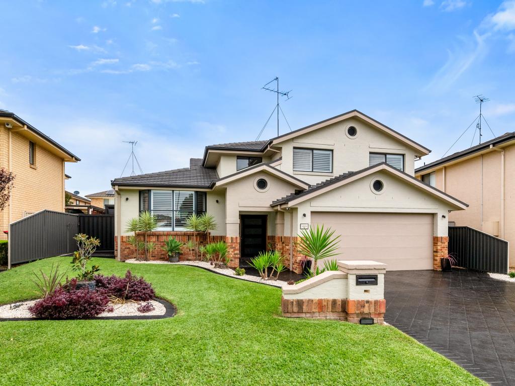
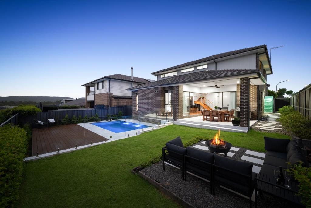
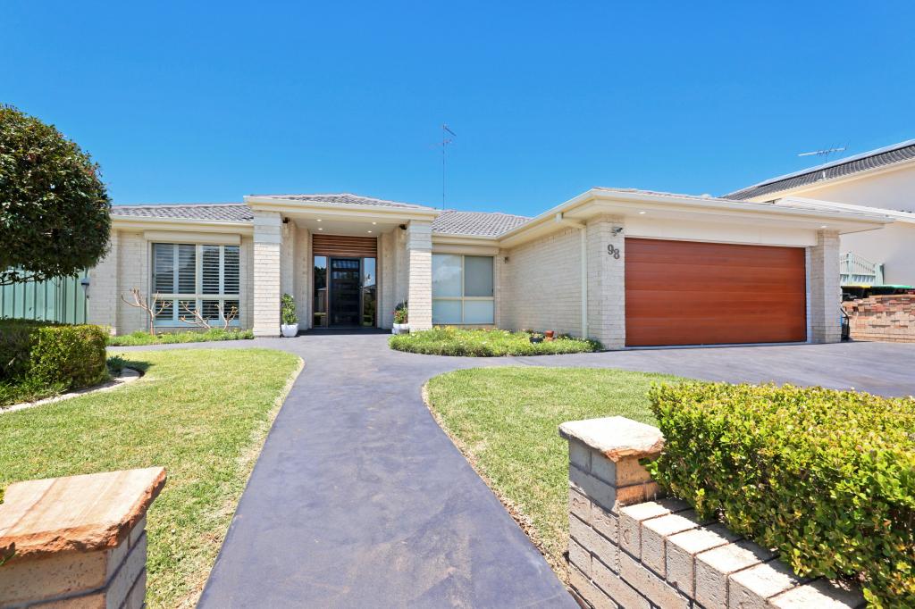
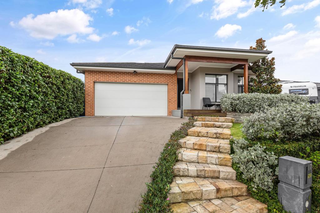
Similar properties For Sale nearby
See more properties for sale nearby


Similar properties For Rent nearby
See more properties for rent nearby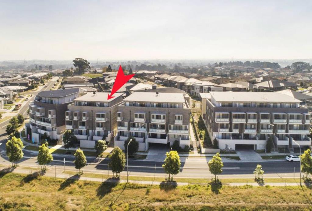
About Mulgoa 2745
The size of Mulgoa is approximately 53.9 square kilometres. It has 11 parks covering nearly 24.6% of total area. The population of Mulgoa in 2011 was 1,791 people. By 2016 the population was 1,901 showing a population growth of 6.1% in the area during that time. The predominant age group in Mulgoa is 10-19 years. Households in Mulgoa are primarily couples with children and are likely to be repaying $1800 - $2399 per month on mortgage repayments. In general, people in Mulgoa work in a clerical occupation. In 2011, 78.4% of the homes in Mulgoa were owner-occupied compared with 84.6% in 2016.
Mulgoa has 817 properties. Over the last 5 years, Houses in Mulgoa have seen a 43.36% increase in median value, while Units have seen a 30.85% increase. As at 28 February 2025:
- The median value for Houses in Mulgoa is $1,477,653 while the median value for Units is $735,578.
- Houses have a median rent of $750.
What's around Lot 5 Chain-O-Ponds Rd, Mulgoa
Lot 5 Chain-O-Ponds Rd, Mulgoa is in the school catchment zone for Glenmore Park High School and Mulgoa Public School.


Suburb Insights for Mulgoa 2745
Market Insights
Mulgoa Trends for Houses
$1.48M
-21.58%
View Trend$750/W
2.30%
Mulgoa Trends for Units
$736k
N/A
View TrendN/A
3.26%
Neighbourhood Insights
Age
Population 1,901
0-9
11%
10-19
15%
20-29
11%
30-39
10%
40-49
15%
50-59
15%
60-69
13%
70-79
8%
80-89
3%
Household Structure
Occupancy
© Copyright 2025 RP Data Pty Ltd trading as CoreLogic Asia Pacific (CoreLogic). All rights reserved.