9/166 Raglan StreetMosman NSW 2088

Property Details for 9/166 Raglan St, Mosman
9/166 Raglan St, Mosman is a 2 bedroom, 1 bathroom Unit with 1 parking spaces and was built in 1964. The property has a land size of 618m2 and floor size of 51m2. While the property is not currently for sale or for rent, it was last sold in December 2022.
Last Listing description (January 2023)
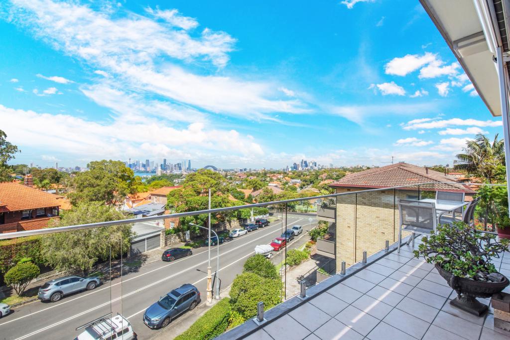
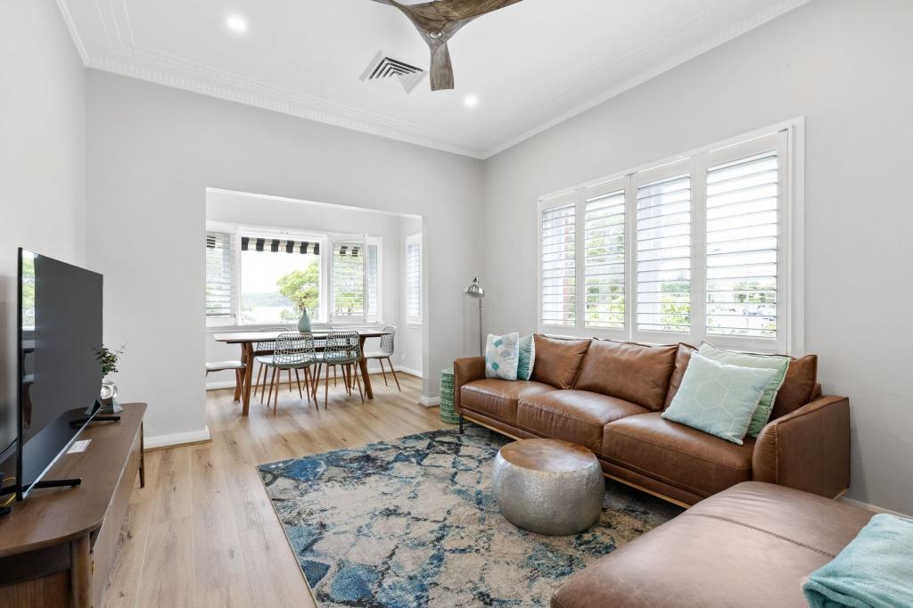
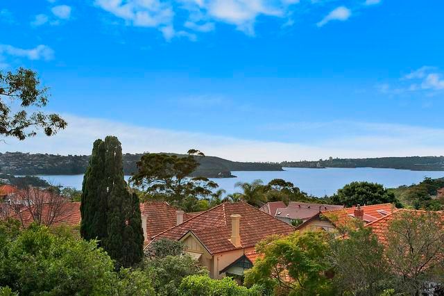
Located on the top floor of this low-rise security building and within an easy, level stroll of the Mosman Village shops, cafes, restaurants and transport facilities this refurbished compact apartment presents the ideal opportunity for first home buyers or investors to secure a foothold in the marketplace.
Enjoying a light filled aspect, the accommodation includes 2 double bedrooms (main with built-in robe), updated bathroom, kitchen with gas cooking and a combined dining/living room. The unit includes an undercover car space on title (big enough for a car and bike/scooter or lockable storage unit) along with shared laundry facilities.
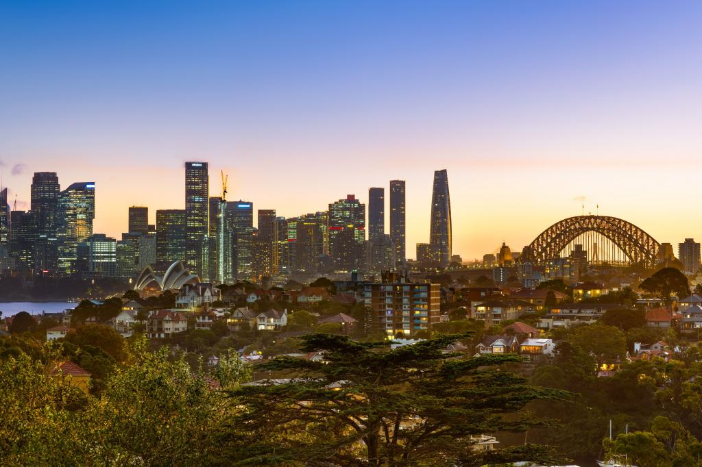
Superbly located close to the Mosman Junction shops, but also equally accessible to both the city ferry and Balmoral Beach, along with parks, schools, and many other local amenities. The unit has been refurbished with new paint, carpet and blinds, whilst the block is beautifully maintained with recent upgrades to common areas including new windows throughout and many other improvements adding great future value for all owners.
Details: David Buttel 0419 263 362
Property History for 9/166 Raglan St, Mosman, NSW 2088
- 16 Dec 2022Sold for $865,000
- 01 Nov 2022Listed for Sale Sold
- 24 Apr 2019Listed for Rent - Price not available
Recent sales nearby
See more recent sales nearbySimilar properties For Sale nearby
See more properties for sale nearby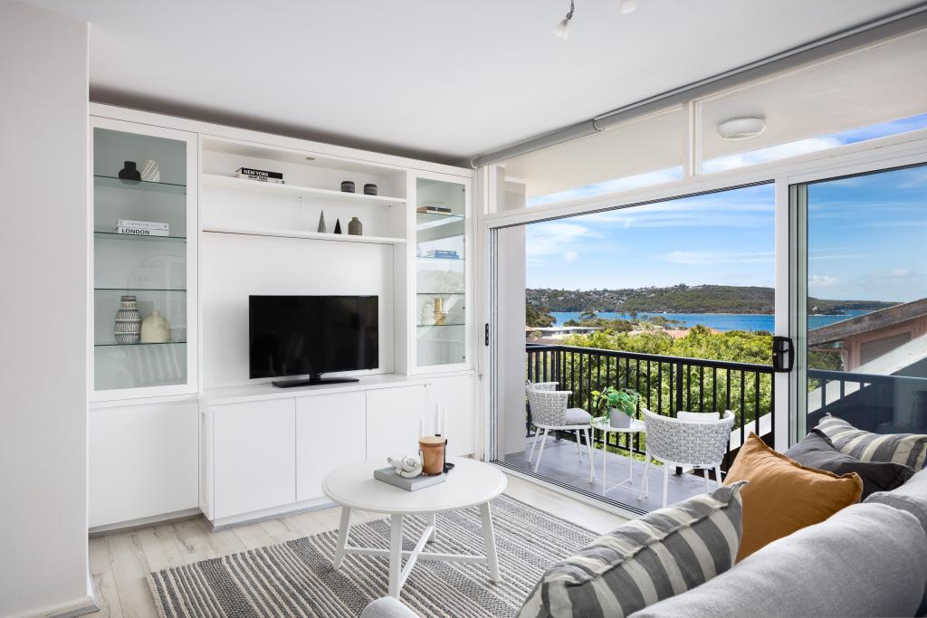
Similar properties For Rent nearby
See more properties for rent nearby


About Mosman 2088
The size of Mosman is approximately 8.7 square kilometres. It has 45 parks covering nearly 29.6% of total area. The population of Mosman in 2011 was 27,452 people. By 2016 the population was 28,491 showing a population growth of 3.8% in the area during that time. The predominant age group in Mosman is 40-49 years. Households in Mosman are primarily couples with children and are likely to be repaying over $4000 per month on mortgage repayments. In general, people in Mosman work in a professional occupation. In 2011, 63% of the homes in Mosman were owner-occupied compared with 62.8% in 2016.
Mosman has 16,008 properties. Over the last 5 years, Houses in Mosman have seen a 43.61% increase in median value, while Units have seen a 23.88% increase. As at 31 January 2025:
- The median value for Houses in Mosman is $5,353,792 while the median value for Units is $1,424,007.
- Houses have a median rent of $1,600 while Units have a median rent of $750.
What's around 9/166 Raglan St, Mosman
9/166 Raglan St, Mosman is in the school catchment zone for Mosman High School and Mosman Public School.


Suburb Insights for Mosman 2088
Market Insights
Mosman Trends for Houses
$5.35M
-6.61%
View Trend$1.60k/W
1.75%
Mosman Trends for Units
$1.42M
-3.00%
View Trend$750/W
2.66%
Neighbourhood Insights
Age
Population 28,491
0-9
12%
10-19
12%
20-29
10%
30-39
13%
40-49
15%
50-59
14%
60-69
11%
70-79
8%
80-89
4%
90-99
1%
Household Structure
Occupancy
© Copyright 2025 RP Data Pty Ltd trading as CoreLogic Asia Pacific (CoreLogic). All rights reserved.
This product uses cookies and other similar technologies to improve and customise your browsing experience, to tailor content and adverts, and for analytics and metrics regarding visitor usage on this product and other media. We may share cookie and analytics information with third parties for the purposes of advertising. By continuing to use our website, you consent to cookies being used. View our Privacy Policy here.
X