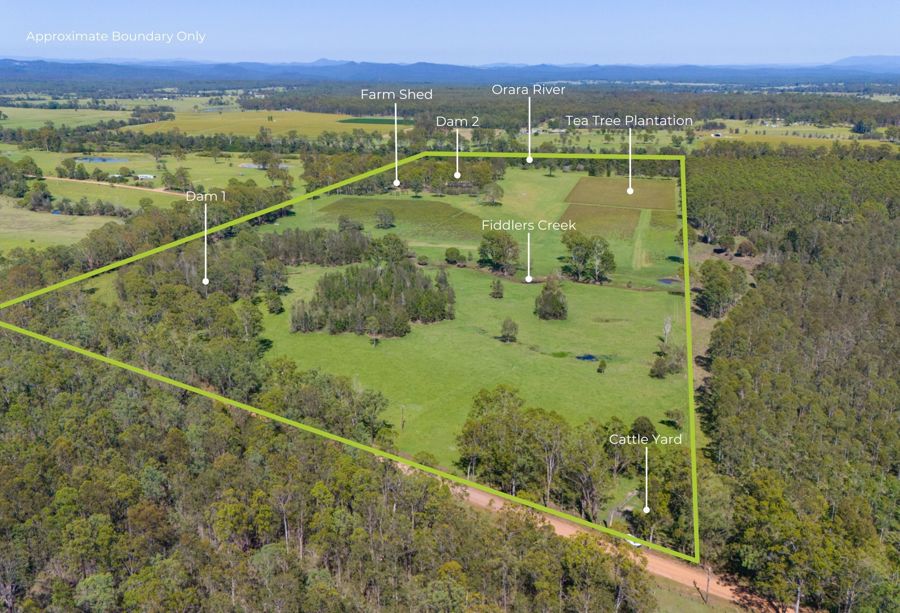
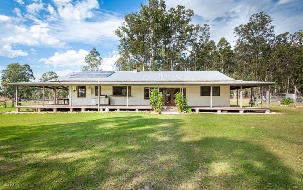
1 Wants LaneGlenugie NSW 2460
Property Details for 1 Wants Lane, Glenugie
Last Listing description (June 2021)
Just 20 minutes north west of Grafton. It falls under the Clarence Shire Council area of NSW. It is located less than an hour from the picturesque Coffs Harbour.
3.44Ha (approx) parcel of land is productive and fertile country but is like it was once an old road . It's 1.7 km long but only 17.3 metres wide
Limited only by your imagination but known as Lot 1 in DP 127081
Any development would be subject to STCA .
The property is located just off Wants Lane, just off the Wooli Road at Glenugie, and Wants Lane is a council maintained gravel road.
It is also important to note the location of the New Pacific Highway in close proximity to this property (please see maps for further details).
Escape the hustle and bustle to this tranquil country setting and enjoy the magnificent sunsets and just let time pass you by. this could be your weekend escape . Your own little peice of Australia . Unique in many ways but worth something to someone with imagination .
This is a rare find and is only 10 minutes from Grafton airport.
Build a shed and get away from the world . Fly in & fly out .
Contact Mark Killian 0427027372 for further information.
Property History for 1 Wants Lane, Glenugie, NSW 2460
- 28 Jun 2021Sold for $51,000
- 11 Jun 2019Listed for Sale Not Disclosed
- 22 Oct 2018Listed for Sale Not Disclosed
Commute Calculator
Recent sales nearby
See more recent sales nearbyAbout Glenugie 2460
The size of Glenugie is approximately 106.5 square kilometres. It has 2 parks covering nearly 43.4% of total area. The population of Glenugie in 2011 was 244 people. By 2016 the population was 198 showing a population decline of 18.9% in the area during that time. The predominant age group in Glenugie is 50-59 years. Households in Glenugie are primarily childless couples and are likely to be repaying $1000 - $1399 per month on mortgage repayments. In general, people in Glenugie work in a clerical occupation. In 2011, 83.9% of the homes in Glenugie were owner-occupied compared with 80.9% in 2016.
Glenugie has 163 properties. Over the last 5 years, Houses in Glenugie have seen a 89.20% increase in median value. As at 31 October 2024:
- The median value for Houses in Glenugie is $858,253.
Suburb Insights for Glenugie 2460
Market Insights
Glenugie Trends for Houses
N/A
N/A
View TrendN/A
N/A
Glenugie Trends for Units
N/A
N/A
View TrendN/A
N/A
Neighbourhood Insights
© Copyright 2024 RP Data Pty Ltd trading as CoreLogic Asia Pacific (CoreLogic). All rights reserved.

 0
0 0
0

