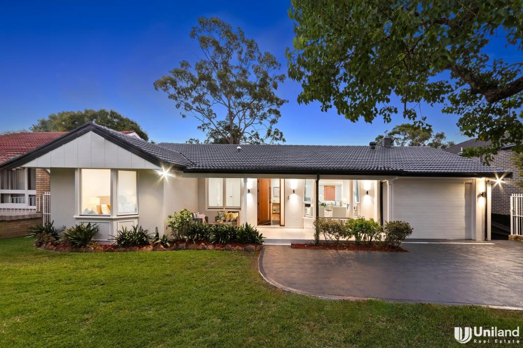
37 Camelot CourtCarlingford NSW 2118

Thinking about insurance?
Get estimated rebuild costs for this property with Sum SureProperty Details for 37 Camelot Ct, Carlingford
37 Camelot Ct, Carlingford is a 5 bedroom, 4 bathroom House with 2 parking spaces and was built in 1980. The property has a land size of 832m2 and floor size of 240m2. While the property is not currently for sale or for rent, it was last sold in January 2021.
Last Listing description (February 2021)
An immaculately presented home, this spacious three level residence offers a choice of living and entertaining areas inside and out. In a tranquil cul-de-sac, the property backs onto bushland and is in the prized Carlingford West Public School catchment.
- Open plan living/dining space flows onto full width terrace
- Vast kitchen with island bench, gas cooking and ample storage
- Master bedroom features ensuite and large built-in wardrobe
- Three bedrooms including the main open out to large balcony
- All bedrooms have built-ins and fifth doubles as home office
- Extensive bush views from most rooms, lush established trees
- In the popular Kingsdene Estate surrounded by quality homes
- Ideally located near Tara School for Girls, The King's School
- Easy access to James Ruse Drive, close to buses to Epping Station
Property History for 37 Camelot Ct, Carlingford, NSW 2118
- 23 Jan 2021Sold for $1,750,000
- 05 Nov 2020Listed for Sale Contact agent
- 31 May 1996Sold for $347,000
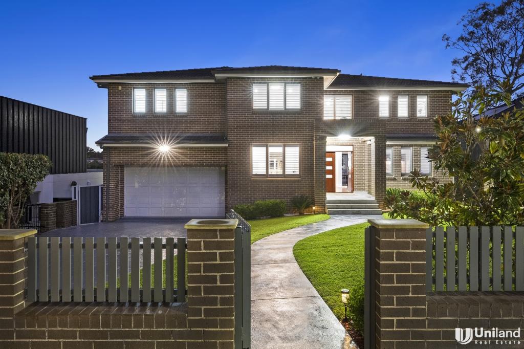
Recent sales nearby
See more recent sales nearby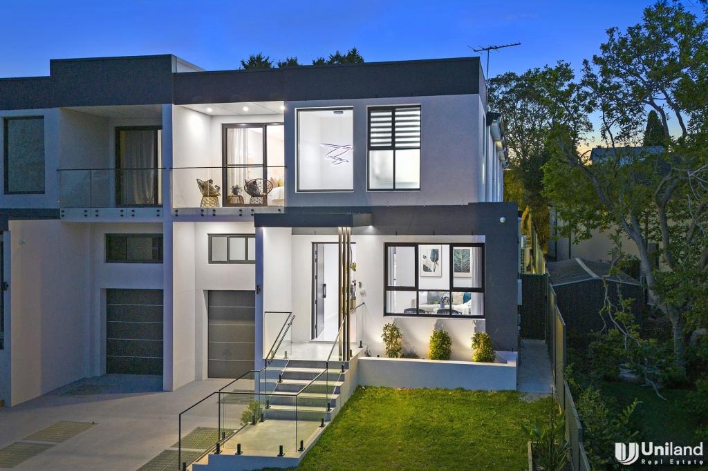
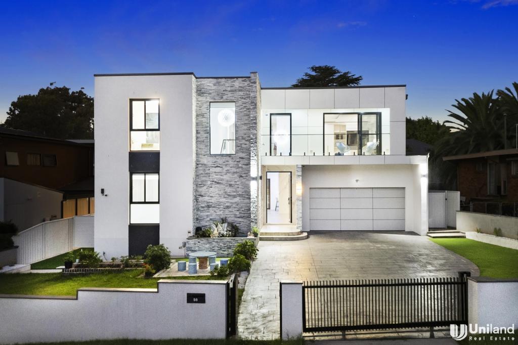
Similar properties For Sale nearby
See more properties for sale nearby
Similar properties For Rent nearby
See more properties for rent nearby

About Carlingford 2118
The size of Carlingford is approximately 8.5 square kilometres. It has 50 parks covering nearly 12.8% of total area. The population of Carlingford in 2011 was 21,570 people. By 2016 the population was 24,394 showing a population growth of 13.1% in the area during that time. The predominant age group in Carlingford is 40-49 years. Households in Carlingford are primarily couples with children and are likely to be repaying $1800 - $2399 per month on mortgage repayments. In general, people in Carlingford work in a professional occupation. In 2011, 75.8% of the homes in Carlingford were owner-occupied compared with 69.8% in 2016.
Carlingford has 11,496 properties. Over the last 5 years, Houses in Carlingford have seen a 37.13% increase in median value, while Units have seen a 6.96% increase. As at 28 February 2025:
- The median value for Houses in Carlingford is $2,020,979 while the median value for Units is $741,175.
- Houses have a median rent of $800 while Units have a median rent of $680.
What's around 37 Camelot Ct, Carlingford
37 Camelot Ct, Carlingford is in the school catchment zone for Carlingford West Public School and Cumberland High School.


Suburb Insights for Carlingford 2118
Market Insights
Carlingford Trends for Houses
$2.02M
0.50%
View Trend$800/W
2.19%
Carlingford Trends for Units
$741k
3.71%
View Trend$680/W
4.57%
Neighbourhood Insights
Age
Population 24,394
0-9
13%
10-19
13%
20-29
12%
30-39
14%
40-49
14%
50-59
13%
60-69
10%
70-79
7%
80-89
4%
90-99
1%
Household Structure
Occupancy
© Copyright 2025 RP Data Pty Ltd trading as CoreLogic Asia Pacific (CoreLogic). All rights reserved.
This product uses cookies and other similar technologies to improve and customise your browsing experience, to tailor content and adverts, and for analytics and metrics regarding visitor usage on this product and other media. We may share cookie and analytics information with third parties for the purposes of advertising. By continuing to use our website, you consent to cookies being used. View our Privacy Policy here.
X