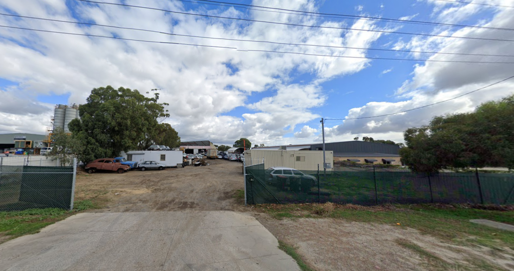
FOR SALE
EOI closing Fri 11 Apr at 4pm AWST

38 Summers Street
East Perth WA 6004

Bedrooms: -
Bathrooms: -
Car spaces: -
Land area: 491m2
Inspection Times
No upcoming inspections scheduled.
Contact agent to arrange an inspection.
Save

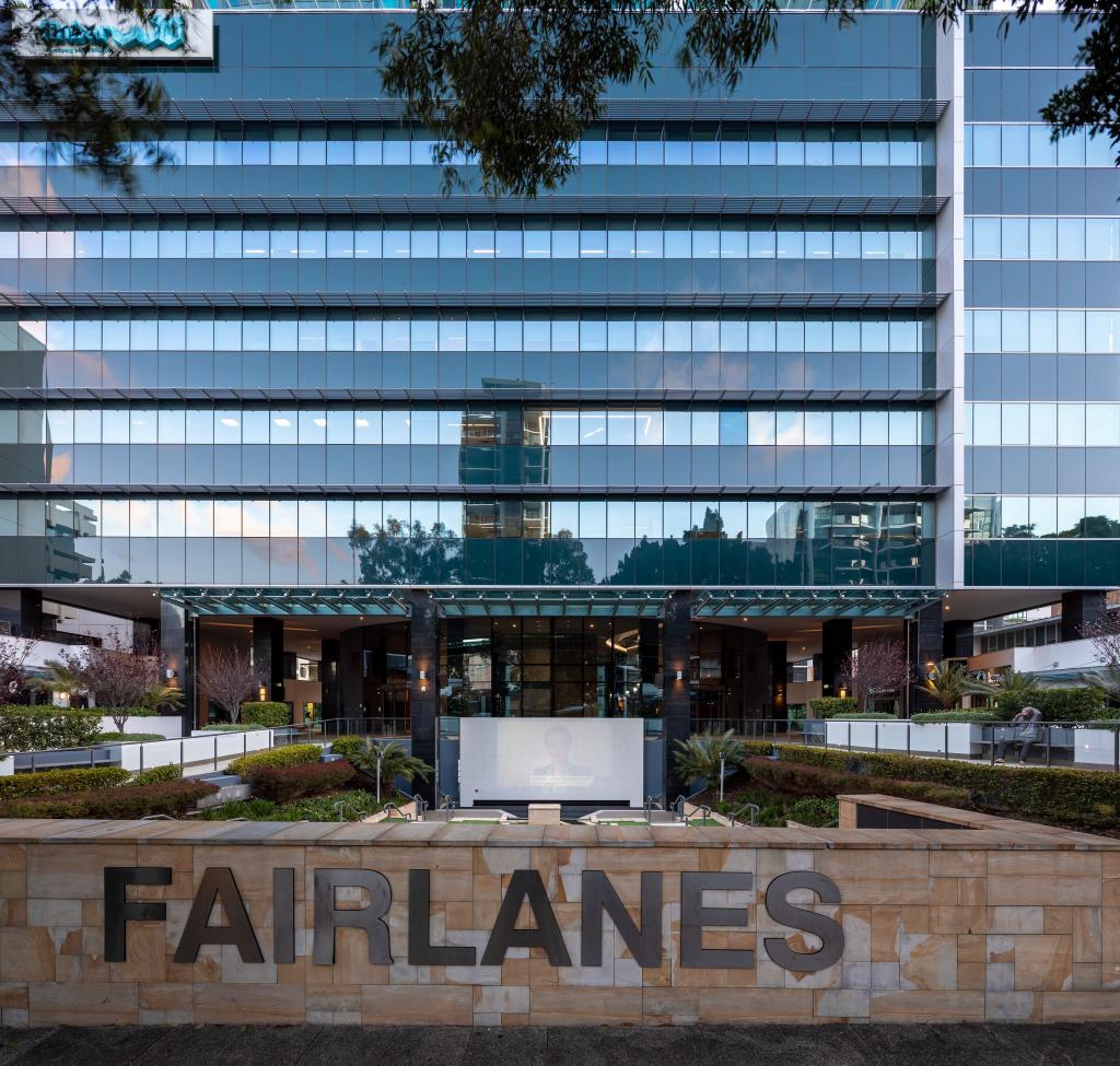
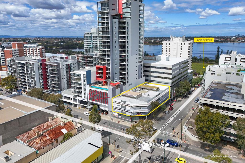
Dev Site - East Perth power station precinct

RWC WA proudly present an outstanding opportunity to secure a strategically positioned site, opposite the East Perth power station.
The 491sqm lot is less than:
• 300m from the Swan River;
• 350m to Graham Farmer Freeway, offering easy access to the greater metropolitan area
• 200m to East Perth train station
• 2km to the Perth CBD
Property features:
• Area - 491sqm
• Zoned - Commercial
• 2 storey height limit
See More

Property Details for 38 Summers St, East Perth

Building Type
Commercial
Land Size
491m2

Commute Calculator

Where to?
-
-
-
-

About East Perth 6004

The size of East Perth is approximately 3.2 square kilometres. It has 21 parks covering nearly 33.5% of total area. The population of East Perth in 2011 was 8,184 people. By 2016 the population was 10,598 showing a population growth of 29.5% in the area during that time. The predominant age group in East Perth is 20-29 years. Households in East Perth are primarily childless couples and are likely to be repaying $1800 - $2399 per month on mortgage repayments. In general, people in East Perth work in a professional occupation. In 2011, 37.8% of the homes in East Perth were owner-occupied compared with 37.6% in 2016.

East Perth has 8,400 properties. Over the last 5 years, Houses in East Perth have seen a -15.37% decrease in median value, while Units have seen a 33.10% increase. As at 28 February 2025:

  • The median value for Houses in East Perth is $926,328 while the median value for Units is $578,312.
  • Houses have a median rent of $740 while Units have a median rent of $700.
There are currently 166 properties listed for sale, and 40 properties listed for rent in East perth on OnTheHouse. According to CoreLogic's data, 600 properties were sold in the past 12 months in East perth.

What's around 38 Summers St, East Perth

38 Summers St, East Perth is in the school catchment zone for Highgate Primary School and Mount Lawley Senior High School.

Nearby Schools
Comparable Properties
Highgate Primary School
1.2km
Address not found
IN CATCHMENTPrimaryGovernmentP - 6Combined650 Enrolled
Perth College
1.5km
Mount Lawley 6050
CombinedNon-GovernmentP - 12Combined1105 Enrolled
Mercedes College
1.67km
Perth 6000
SecondaryNon-Government7 - 12Combined928 Enrolled
Trinity College
1.76km
East Perth 6004
CombinedNon-Government4 - 12Combined1276 Enrolled
Mount Lawley Primary School
2.09km
Mount Lawley 6050
PrimaryGovernmentP - 6Combined510 Enrolled
St George's Anglican Grammar School
2.22km
Perth 6000
SecondaryNon-Government7 - 12Combined283 Enrolled
North Perth Primary School
2.61km
North Perth 6006
PrimaryGovernmentP - 6Combined465 Enrolled
Mount Lawley Senior High School
2.75km
Mount Lawley 6050
IN CATCHMENTSecondaryGovernment7 - 12Combined1630 Enrolled
Maylands Peninsula Primary School
2.82km
Maylands 6051
PrimaryGovernmentP - 6Combined682 Enrolled
Perth Montessori School Inc
2.93km
150 Burswood Road Burswood WA 6100 Burswood 6100
CombinedNon-Government1 - 12Combined130 Enrolled

Suburb Insights for East Perth 6004

Market Insights
East Perth Trends for Houses
Median Value

$926k

12.63%
View Trend
Median Growth

-11.72%

View Trend
Median Rent

$740/W

12.94%
View Trend
Rental Yield

4.38%

7.98%
View Trend
Median Value: The middle value of all properties across the geography based on the Automated Valuation Model.


Median Value over 1 year (03/24 - 02/25)
East Perth Trends for Units
Median Value

$578k

8.16%
View Trend
Median Growth

10.41%

View Trend
Median Rent

$700/W

12.00%
View Trend
Rental Yield

6.78%

3.97%
View Trend
Median Value: The middle value of all properties across the geography based on the Automated Valuation Model.


Median Value over 1 year (03/24 - 02/25)
Neighbourhood Insights
Age

Population 10,598

0-9


5%

10-19


4%

20-29


30%

30-39


26%

40-49


10%

50-59


11%

60-69


9%

70-79


4%

80-89


1%

Household Structure
Occupancy
Contact agent
Stephen Harrison
Show contact details
Liam Pittaway
Show contact details
RWC WA
Preferred contact:
Disclaimer
Whilst all reasonable effort is made to ensure the information in this publication is current, CoreLogic does not warrant the accuracy or completeness of the data and information contained in this publication and to the full extent not prohibited by law excludes all liability for any loss or damage arising in connection with the data and information contained in this publication.
Western Australia data
Information contained within this product includes or is derived from the location information data licensed from Western Australian Land Information Authority (WALIA) (2025) trading as Landgate. Copyright in the location information data remains with WALIA. WALIA does not warrant the accuracy or completeness of the location information data or its suitability for any particular purpose.
Valuations and Estimates
This estimate is provided by CoreLogic, and is based on statistical market data such as recent local sales, property size, number of bedrooms and many more factors. It comes from public data, which may be incomplete or inaccurate, and should not be used in lieu of a professional appraisal under any circumstances, including for lending purposes or in home loan applications.
School data and Content
Product Data licenced by CoreLogic under a Creative Commons Attribution licence. For details regarding licence, data source, copyright and disclaimers, see https://www.corelogic.com.au/legals/third-party-restrictions
ABS data
This publication contains data and statistics provided by the Australian Bureau of Statistics, available at http://www.abs.gov.au/ and reproduced under Creative Commons Attribution 2.5 http://creativecommons.org/licenses/by/2.5/au/legalcode
Liveability information
The Liveability Score is a rating (out of 10) provided by Propella.ai Pty Ltd as a guide about how "well-connected" properties are in certain local areas. The Liveability Score is based on statistical data about a local area in which a property is located including the distance to and number of available facilities and services (including schools, parklands, health services, shopping and public transport) (Liveability Data). The Liveability Data and Liveability Score has not been verified or confirmed by CoreLogic, is not available for all properties, and is of a general nature and should not be construed as specific advice or relied upon in lieu of appropriate professional advice. Given the relative nature of the Liveability Score, propella.ai anticipate that scores for individual properties will change over time.
BESbswy